| Land Portal
There are 41 content items of different types and languages related to spatial source on the Land Portal.

spatial source

Source with the spatial representation of one (part of) or more spatial units

Displaying 1 - 8 of 8
Guide pour l’ouverture des donn es ouvertes
Manuals & Guidelines
October 2021
Global

Les Open Up Guides sont des outils pratiques développés par l’ODC et ses partenaires thématiques pour aider les gouvernements et d’autres acteurs à utiliser la publication d’ensembles de données stratégiques pour relever les principaux défis politiques.

Manuals & Guidelines
October 2021
Global

The Open Up Guide on Land Governance is a resource  aimed to be used by governments from developing countries to collect and release land-related data to improve data quality, availability, accessibility and use for improved citizen engagement, decision making and innovation. It sets out:

Journal Articles & Books
Peer-reviewed publication
February 2021
Africa
Americas
Asia
Europe
Oceania
Antarctica

Fit-for-purpose land administration (FFPLA) concept is widely applied in the emerging land administration systems (LASs). This paper aims to contribute to the development of evaluation of the spatial aspect of FFPLA.

Spatial Information, Agriculture,  Policy, Asmat Ali, Muhammad Imran, Pakistan
Journal Articles & Books
Peer-reviewed publication
National Policies
September 2020
Asia
Pakistan

Agriculture is directly linked to the socio-economic development of every region. Agriculture impacts us all, whether we are seeking food security, better health or striving to conserve natural resources. Goal 2 of Sustainable Development Goals (SDGs) underlines the significance of agriculture as a means to achieve food security.

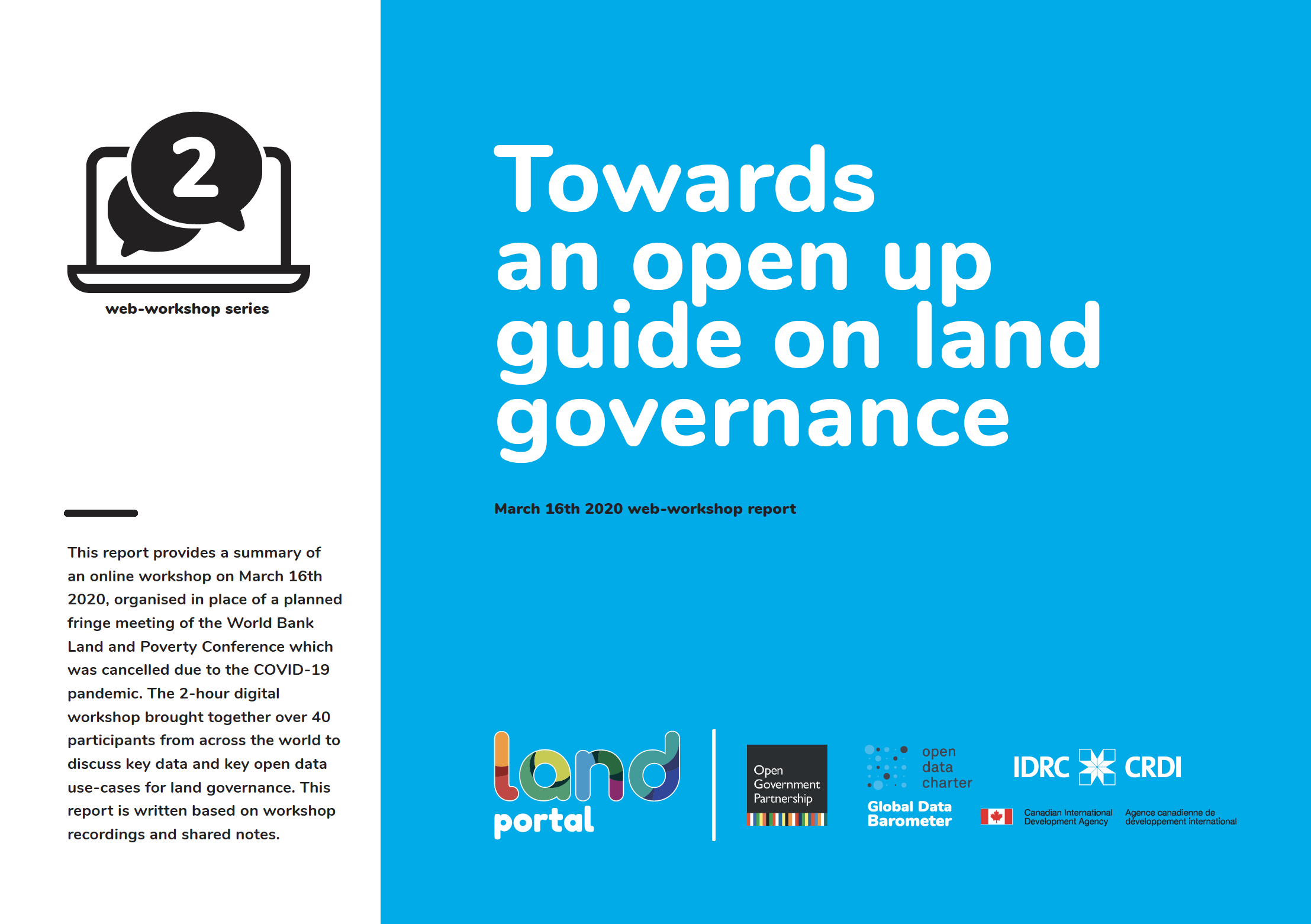
an open up guide on land governance
Conference Papers & Reports
March 2020
Global

This report provides a summary of an online workshop on March 16th 2020, organised in place of a planned fringe meeting of the World Bank Land and Poverty Conference which was cancelled due to the COVID-19 pandemic. The 2-hour digital workshop brought together over 40 participants from across the world to discuss key data and key open data use-cases for land governance.

Peer-reviewed publication
January 2020
Ethiopia
Rwanda

Spatial data are a basis in development of multipurpose cadastre. This paper aims to evaluate spatial data acquisition and management techniques for multipurpose cadastre in Ethiopia and Rwanda. The research was conducted using a qualitative research method, a review of existing literature on spatial data acquisition and management techniques for cadastral purposes.

Peer-reviewed publication
August 2016
Asia
Pakistan

Cadastral mapping in Pakistan is often sketched on paper or cloth and generally falls below cartographic standards, lacking details on coordinate systems, datum and directional information of parcel lines. Survey numbers for parcel identification also lack digital interoperability. Parcel measurements and ownership information are manually recorded in multiple separate registers.

Share this page