Prediction of water flows in Colorado River, Argentina

Journal Articles & Books
juni, 2017
Argentina
The identification of suitable models for predicting daily water flow is important for planning
The identification of suitable models for predicting daily water flow is important for planning
En este trabajo se estudiaron los efectos de eventos El Niño y La Niña sobre la distribución espacio-temporal de las precipitaciones y el agua superficial en el sur de la Región Pampeana, Argentina. Para ello, se analizaron series mensuales de precipitación con el método de Quintiles, el de la tendencia central o la Normal y el Índice Estandarizado de Precipitación. Se evidenció una relación entre la variabilidad pluviométrica con la ocurrencia de eventos El Niño y La Niña. A partir de entonces se analizaron los impactos de los mismos sobre el agua superficial.
This paper analyses the drought risk in argentine Pampean region using statistical results of soil water storage. These are calculated by daily soil water balance whose methodology has been tested using values obtained in situ. The goal of the paper is define a level of drought or minimum level of soil water storage, for the entire region which is, at the same time, the minimum optimum soil water content for crops. Over this moisture level, crops can yield with all their potential. The occurrence probability of values, for a determined time period, under that minimum is proposed.
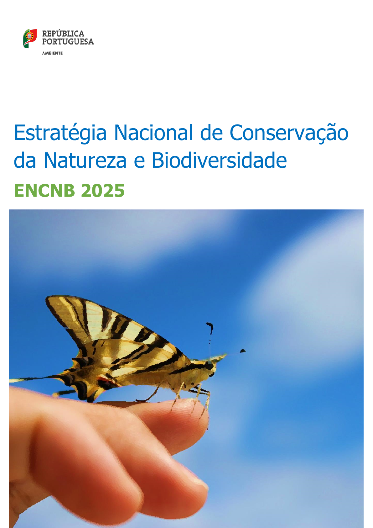
A ENCNB é um instrumento fundamental da prossecução da política de ambiente e na resposta às responsabilidades nacionais e internacionais de reduzir a perda de património natural. Avaliações à escala regional e global evidenciam, de modo crescente, que a prosperidade económica e o bem-estar da sociedade são suportados pelo capital natural, o que inclui os ecossistemas naturais e os seus serviços cuja funcionalidade depende, em larga escala, da utilização sustentável e eficiente dos recursos.
Accountability and adaptive management of recent global agreements such as the Sustainable Development Goals and Paris Climate Agreement, will in part rely on the ability to track progress toward the social and environmental targets they set. Current metrics and monitoring systems, however, are not yet up to the task. We argue that there is an imperative to consider principles of coherence (what to measure), standardization (how to measure) and decision-relevance (why to measure) when designing monitoring schemes if they are to be practical and useful.

The inability to monitor wetland drag coefficients at a regional scale is rooted in the difficulty to determine vegetation structure from remote sensing data. Based on the fact that the backscattering coefficient is sensitive to marsh vegetation structure, this paper presents a methodology to estimate the drag coefficient from a combination of SAR images, interaction models and ancillary data. We use as test case a severe fire event occurred in the Paraná River Delta (Argentina) at the beginning of 2008, when 10% of the herbaceous vegetation was burned up.

Amongst human practices, agricultural surface-water management systems represent some of the largest integrated engineering works that shaped floodplains during history, directly or indirectly affecting the landscape. As a result of changes in agricultural practices and land use, many drainage networks have changed producing a greater exposure to flooding with a broad range of impacts on society, also because of climate inputs coupling with the human drivers.
Adapting to climate risks is central to the goal of increasing food security and enhancing resilience of farming systems in East Africa. We examined farmers’ attitudes and assessed determinants of adaptation using data from a random sample of 500 households in Borana, Ethiopia, Nyando, Kenya, Hoima Uganda, and Lushoto, Tanzania. Adaptation was measured using a livelihood-based index that assigned weights to different individual strategies based on their marginal contributions to a household’s livelihood.
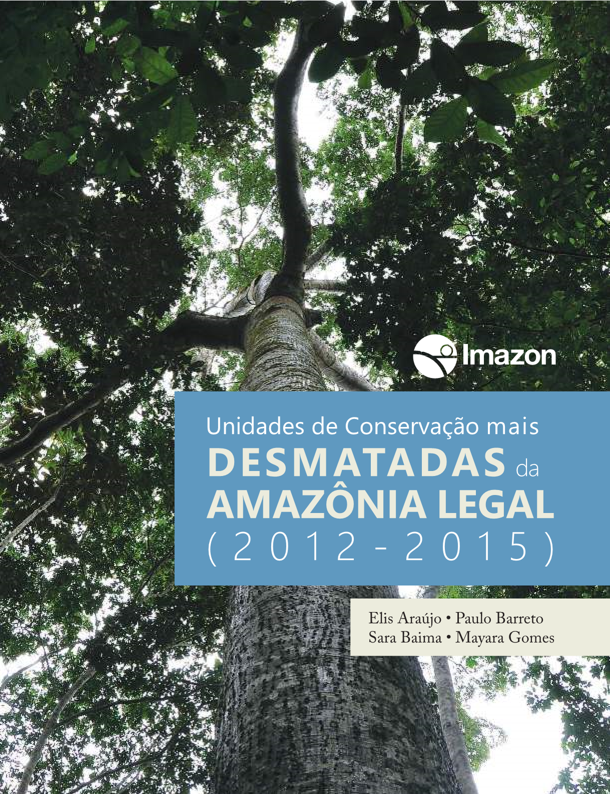
As Unidades de Conservação cobrem 22% da Amazônia Legal e são uma estratégia eficaz para conservar animais, plantas e serviços ambientais, conter o desmatamento e manter o equilíbrio climático do Planeta. Contudo, as taxas de desmatamento em UCs vêm aumentando – em 2015 já superava a de 2012 em 79% –, assim como sua participação no desmatamento total da Amazônia, que passou de 6% em 2008 para 12% em 2015.
Source: Fao.org
La gestion durable de l’eau en agriculture est essentielle pour mettre fin à la faim et pour l’adaptation au changement climatique