Перейти к основному содержанию

page search

Displaying 1 - 12 of 26

Large Scale Applications of Machine Learning using Remote Sensing for Building Agriculture Solutions

04 марта 2024 - 18 марта 2024

NASA’s Applied Remote Sensing Training Program (ARSET) has opened a new open, online webinar series: Large Scale Applications of Machine Learning using Remote Sensing for Building Agriculture Solutions. Remote sensing data is becoming crucial to solve some of the most important environmental problems, especially pertaining to agricultural applications and food security. Participants will become familiar with data format and quality considerations, tools, and techniques to process remote sensing imagery at large scale from publicly available satellite sources, using cloud tools such as AWS S3, Databricks, and Parquet. Additionally, participants will learn how to analyze and train machine learning models for classification using this large source of data to solve environmental problems with a focus on agriculture. 


Land Rights for Sustainable Development - The Role of Data

16 января 2024
European Commission
Brussels
Belgium

Having secure land tenure, ensuring people's confidence in accessing, controlling and utilizing their land, is crucial for promoting sustainable land management practices. It also plays a key role in building resilience against the impacts of climate change, including extreme weather events, rising sea levels, and increased desertification due to higher temperatures.

International Land Coalition
Land Portal Foundation
Land Matrix
Prindex

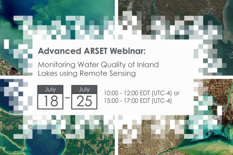
Monitoring Water Quality of Inland Lakes using Remote Sensing

17 июля 2023 - 24 июля 2023

NASA’s Applied Remote Sensing Training Program (ARSET) has opened a new open, online webinar series: Monitoring Water Quality of Inland Lakes using Remote Sensing. This advanced-level training will focus on using remote sensing observations from Landsat 8 and 9, Sentinel-2, and Sentinel-3 for assessing water quality parameters, including chlorophyll-a concentration, turbidity, and Total Suspended Solids (TSS) in inland lakes. This training will also highlight the importance of in situ measurements of these parameters, coincident with satellite observations, in developing methodologies for operational water quality monitoring.

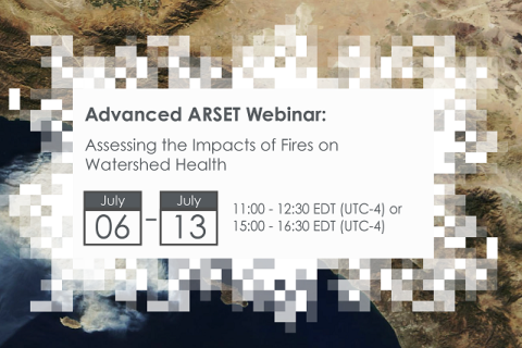
Assessing the Impacts of Fires on Watershed Health

05 июля 2023 - 12 июля 2023

NASA’s Applied Remote Sensing Training Program (ARSET) has opened a new open, online webinar series: Assessing the Impacts of Fires on Watershed Health. This advanced-level, three-part training will focus on using remote sensing observations for monitoring post-fire impacts on watershed health. Specifically, this training will highlight uses of NASA Earth observations (EO) for pre-fire land cover mapping, watershed delineation and stream mapping, post-fire burn severity mapping, and pre- and post-fire riverine and freshwater water quality.

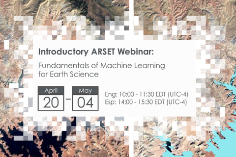
Fundamentals of Machine Learning for Earth Science

19 апреля 2023 - 03 мая 2023

NASA’s Applied Remote Sensing Training Program (ARSET) has opened a new online introductory webinar series: Fundamentals of Machine Learning for Earth Science. This three-part training, presented in English and Spanish, is open to the public and will provide attendees an overview of machine learning in regards to Earth Science, and how to apply these algorithms and techniques to remote sensing data in a meaningful way. Attendees will also be provided with end-to-end case study examples for generating a simple random forest model for land cover classification from optical remote sensing. We will also present additional case studies to apply the presented workflows using additional NASA data.


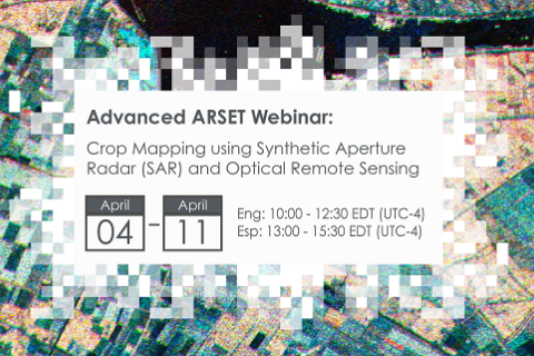
Crop Mapping using Synthetic Aperture Radar (SAR) and Optical Remote Sensing

03 апреля 2023 - 12 апреля 2023

NASA’s Applied Remote Sensing Training Program (ARSET) has opened a new online advanced webinar series: Crop Mapping using Synthetic Aperture Radar (SAR) and Optical Remote Sensing. This three-part training, presented in English and Spanish, is open to the public and builds on previous ARSET agricultural trainings. Here we present more advanced radar remote sensing techniques using polarimetry and a canopy structure dynamic model to monitor crop growth. The training will also cover methods that use machine learning methods to classify crop type using a time series of Sentinel-1 & Sentinel-2 imagery. This series will include practical exercises using the Sentinel Application Platform (SNAP) and Python code written in Python Jupyter Notebooks, a web-based interactive development environment for scientific computing and machine learning.

Applications of Remote Sensing-Based Evapotranspiration Data Products for Agricultural and Water Resource Management

01 июня 2022 - 15 июня 2022

Evapotranspiration (ET) is the process by which the land surface returns water to the atmosphere in the form of moisture. ET is a very important part of the water cycle in the Earth system. It is the sum of evaporation from bare soil and transpiration from vegetation. For a given watershed, the supply of water from precipitation, surface and groundwater can be depleted via ET.