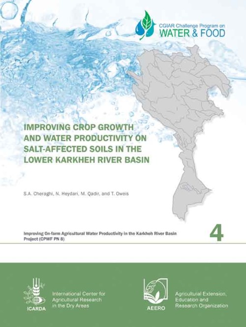
Improving Crop Growth and Water Productivity on Salt-affected Soils in the Lower Karkheh River Basin
Research Report no. 4 of the CPWF project: Improving on-farm agricultural water productivity in the Karkheh river basin (PN8).
This article examines the changes in land-use/cover types in the Irangi Hills, central Tanzania during the last 45 years and how such changes have influenced environmental and agricultural sustainability in the area. The spatial and temporal changes of land-use/cover were analysed through aerial photographs interpretation. Local perceptions and experiences of changes were addressed through household interviews and field observations.
The development of synergies between efforts to mitigate land degradation and biological diversity decline can enhance effectiveness, speed up implementation and avoid potential conflicts. Due to the variable nature of these processes and to the variable characteristics of the areas where they occur, there is no general rule linking land degradation and biological diversity decline. Thus, a geographically limited approach focusing on drivers of change may provide a more appropriate base upon which synergies can be built. This exercise is undertaken for the case of northern Mediterranean.
Soil erosion is considered to be one of the greatest environmental problems of sub-Saharan Africa. This paper investigates the advantages and disadvantages of modelling soil erosion at the continental scale and suggests an operational methodology for mapping and quantifying 10-daily water runoff and soil erosion over this scale using remote sensing data in a geographical information system framework.
In this study, we attempted multivariate color profiling of soils over a land degradation gradient represented by dry evergreen forest (original vegetation), dry deciduous forest (moderately disturbed by fire), and bare ground (severely degraded) in Sakaerat, Thailand. The soils were sampled in a dry-to-wet seasonal transition. Values of the red-green-blue (RGB), cyan-magenta-yellow-key black (CMYK), L*a*b*, and hue-intensity-saturation (HIS) color models were determined using the digital software Adobe PhotoshopTM. Land degradation produced significant variations (p
The premise of this paper is that the key to effective water resources management is understanding that the water cycle and land management are inextricably linked: that every land use decision is a water use decision. Gains in agricultural water productivity, therefore, will only be obtained alongside improvements in land use management. Expected increases in food demands by 2050 insist that agricultural production - and agricultural water use - must increase.
Due to the increasingly serious ecological degradation of land systems, the land ecological security issues have attracted more and more attention of policy makers, researchers and citizens. Aiming at overcoming the disadvantages in subjectivity and complexity of the currently used assessment methods, an integrative fuzzy set pair model for assessing the land ecological security was developed by integrating fuzzy assessment and set pair analysis (SPA).
In this study, we investigate changes in ecosystem structure that occur over a gradient of land-degradation in the southwestern USA, where shrubs are encroaching into native grassland. We evaluate a conceptual model which posits that the development of biotic and abiotic structural connectivity is due to ecogeomorphic feedbacks. Three hypotheses are evaluated: 1. Over the shrub-encroachment gradient, the difference in soil properties under each surface-cover type will change non-linearly, becoming increasingly different; 2.
Obtaining information about soil properties under different agricultural uses to plan soil management is very important with a view to sustainability in the different agricultural systems. The aim of this study was to evaluate changes in certain indicators of the physical quality of a dystrophic Red Latosol (Oxisol) under different agricultural uses. The study was conducted in an agricultural area located in northern Paraná State.
This paper identifies key challenges and solutions for carrying out project-level economic analysis of adaptation to climate change, both stand-alone and integrated into broader development projects. Very few projects addressing adaptation thus far have been subject to in-depth and rigorous economic analysis for a variety of reasons, including a lack of guidance on how to deal with assessments of the impacts of climate change, as well as with estimating costs and benefits of adaptation under uncertainty.
The aim of this paper is to provide a strategic overview of a decade of experience in supporting public administrations in their efforts to confront excessive groundwater resource exploitation for agricultural irrigation. Special emphasis is put on a series of on-the-ground pilot projects mainly in South and East Asia and Latin America, which are profiled through a series of boxes introduced in the paper.