Перейти к основному содержанию

page search

Displaying 157 - 168 of 586

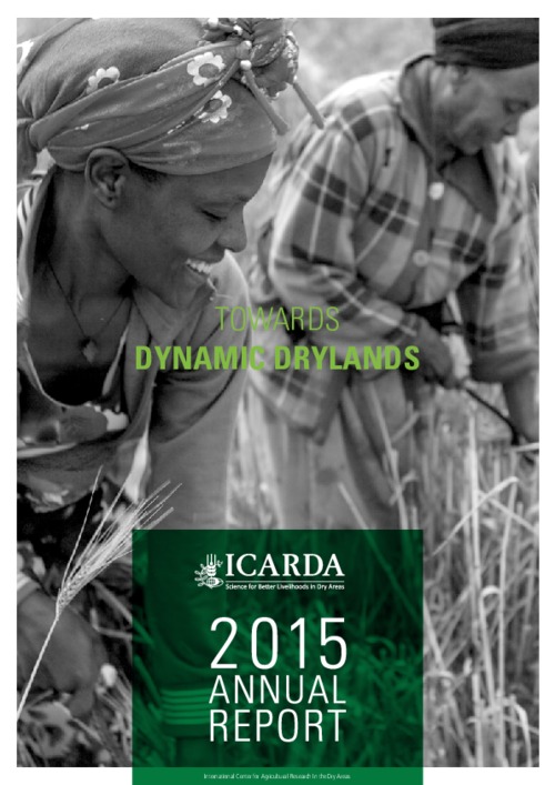
ICARDA Annual Report 2015

Reports & Research
августа, 2016
Global

The year 2015 will be remembered for the waves of refugees from the Middle East and North Africa (MENA) region looking for a safer future in other parts of the world. While millions of people crossed into Europe, the international community looked for the roots causes of the migration, recognizing that food insecurity, unemployment, drought and environmental degradation all play a role in the uprising and coalescing of conflict.

Exploring Land Data

Reports & Research
августа, 2016
United Kingdom
Global

Quality information on land is crucial to making good decisions about it. Increasing access to this information is important, and it is particularly vital to get it to groups who focus on social and environmental missions. This report is about the information needs of these ‘common good land users’, the data that is available, and how to get it to them. It’s based on a series of interviews with common good land users, data producers, and other experts. We also explored the data, and tested some approaches to making it accessible at a ‘DataDive’ we ran with volunteer data scientists.

Integrated geospatial evaluation of manual cadastral mapping: a case study of Pakistan

Peer-reviewed publication
июля, 2016
Asia
Pakistan

Cadastral mapping in Pakistan is often sketched on paper or cloth and generally falls below cartographic standards, lacking details on coordinate systems, datum and directional information of parcel lines. Survey numbers for parcel identification also lack digital interoperability. Parcel measurements and ownership information are manually recorded in multiple separate registers. The objective of this study is to leverage geospatial technology for automation, auditing and validation of present manual cadastral mapping in Pakistan.