Перейти к основному содержанию

page search

Displaying 133 - 144 of 2087

Remote sensing monitoring of land restoration interventions in semi-arid environments with a before–after control-impact statistical design

LandLibrary Resource
Journal Articles & Books
июня, 2017

Restoration interventions to combat land degradation are carried out in arid and semi-arid areas to improve vegetation cover and land productivity. Evaluating the success of an intervention over time is challenging due to various constraints (e.g. difficult-to-access areas, lack of long-term records) and the lack of standardised and affordable methodologies.

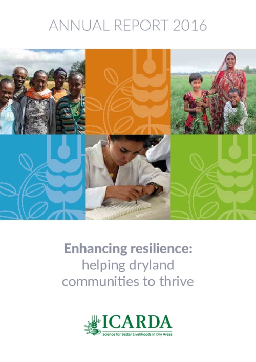
ICARDA Annual Report 2016

LandLibrary Resource
Reports & Research
июня, 2017
Global

2016 was the hottest year on record – the third consecutive record-breaking year. It was a sign that we have to act fast to enhance the resilience of dryland farmers, who not only have to contend with more extreme temperatures but also face rapidly depleting water resources and the destructive effects of new pests and disease.

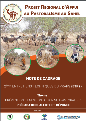
Note de Cadrage

LandLibrary Resource
Conference Papers & Reports
мая, 2017
Africa

 Annoncés depuis un semestre, les ETP 2 ont été lancés le 3 juillet 2017 à Niamey, au Niger sous présidence effective du Ministre Délégué en charge de l’Elevage du Niger, M. Mohamed Boucha en présence du Représentant résident de la Banque mondiale, M.

Evaluating fire severity in Sudanian ecosystems of Burkina Faso using Landsat 8 satellite images

LandLibrary Resource
Journal Articles & Books
марта, 2017
Burkina Faso
Africa
Western Africa

The fire severity of the 2013–2014 fire season within Sudanian ecosystems in Burkina Faso was evaluated from Landsat 8 images using derivatives of the Normalized Burn Ratio algorithm (NBR). The relationship between the image-derived severity and the field observed severity i.e. Composite Burn Index (CBI) was best described by a nonlinear model of the form y = a + b*EXP(CBI *c) (R2 = 0.66).