Перейти к основному содержанию

page search

Displaying 8269 - 8280 of 8599

Proposed agricultural land use plan for former freehold farms 25/77 NQ and 27/77 NQ North East District

декабря, 1969

Farms 25/77 NQ and 27/77N0, located in North East District, were acquired by the Government

from the freeholder, Mr Blackbeard in 1990. The purchase followed the recommendations of the

consultants appointed to conduct the feasibility study of the Lower Shashe dam (SMEC, 1990), and

had the objective of providing compensatory land for Matopi villagers who need to be relocated

before flooding of the reservoir.

During the latter part of 1990, the Tati Land Board proposed compensating Matopi residents by

Land resources and production systems in agricultural land use planning in Botswana.

декабря, 1969
Botswana

The prosperity of Botswana largely depends on its natural resources. As to the agricultural sector, poor utilization of land resources has until now resulted in low crop yields, poor livestock offtake rates, low rural household incomes and widespread degradation of soils and rangeland. Acknowledging these problems, the Botswana Government has recently adopted a series of policies to ensure that land resources are used in a sustainable manner.

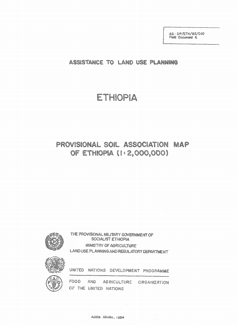
Assistance to Land Use Planning: Ethiopia. Provisional Soil Association Map of Ethiopia (1:2,000,000)

Training Resources & Tools
декабря, 1969
Ethiopia

The 1: 2 000 000 Soil Associations map is based on

the Geomorphology and Soils map, at 1: 1 000 000 scals, prepared

by the FAO/UNDP Eth/78/003, Assistance to Land Use PlJ

Project in 1981 It incorporates some new information ob%,3 _

since the finalizing of the Geomorphology and soils map.