Перейти к основному содержанию

page search

Displaying 3745 - 3756 of 6374

Atlas of African agriculture research and development: Revealing agriculture's place in Africa

Journal Articles & Books
декабря, 2013
Eastern Africa

The Atlas of African Agriculture Research & Development is a multifaceted resource that high­lights the ubiquitous nature of smallholder agriculture in Africa; the many factors shaping the location, nature, and performance of agricultural enterprises; and the strong interde­pendencies among farming, natural resource stocks and flows, rural infrastructure, and the well-being of the poor.

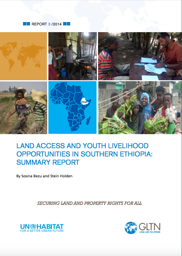
Land Access and Youth Livelihood: Opportunities in Southern Ethiopia

Reports & Research
декабря, 2013

This study aims to examine current land access and youth livelihood opportunities in Southern Ethiopia. We used survey data from the relatively land abundant districts of Oromia Region and from the land scarce districts of Southern Nations, Nationalities and Peoples' (SNNP) Region. Although access to agricultural land is a constitutional right for rural residents of Ethiopia, we found that youth in the rural south have limited potential to obtain agricultural land that can be a basis for viable livelihood. The law prohibits the purchase and sale of land in Ethiopia.

Mount Kilimanjaro Orthometric Height by TZG08 Geoid Model and GPS Ellipsoidal Heights from 1999 and 2008 GPS Campaigns

Journal Articles & Books
декабря, 2013
Tanzania

The aim of this paper is to compute a more accurate orthometric height of Mount Kilimanjaro by utilizing the current most precise geoid model for Tanzania, TZG08, together with the 1999 and 2008 GPS campaigns ellipsoidal heights using GPS levelling method.

The result of the GPS levelling using TZG08 gravimetric geoid model and the Kil_1999 and KILI2008 GPS ellipsoidal heights is that the orthometric height of Mount Kilimanjaro is 5,894.94m. Therefore the orthometric height of Mount Kilimanjaro is practically the same as the 1952 official height of 5,895m. 

Food Security Modeling Using Geographic Information Systems (GIS) Techniques

Journal Articles & Books
декабря, 2013
Tanzania

The practice of food security assessment in Tanzania is based on use of food crops production data surveys of a preceding seasonal year with agro-meteorological analyses based on estimated vegetation status as reflected from NDVI computed from NOAA satellite images.  Food security assessment essentially is a prediction of food availability in predefined future time framework. It helps to establish availability or deficiency of food, thereby facilitating planning and implementation of strategies to mitigate the problem of hunger.

Development of Road Selection Model for Transportation Improvement with Minimum Compensation Costs in Upgrading Informal Settlements

Journal Articles & Books
декабря, 2013
Tanzania

Selection of roads for improvement of transport network with minimum demolition of houses required in roads widening has been a challenge for many years in upgrading informal settlements. The problem is compounded by lack of a methodological tool required to assist decision makers on selecting roads that can be widened and improved for improvement of transport network with minimum demolition of houses and compensation costs.

The Dilemma of Implementing Property Taxation in Tanzania amidst Unending Search for Yielding Strategy.

Journal Articles & Books
декабря, 2013
Tanzania

Property taxation has a long history of implementation in Dar es Salaam; yet Local Government Authorities (LGAs) ability to raise revenue through property tax has remained low. This article examines various initiatives by the government to develop a functional property tax system capable of generating sufficient revenue for the LGAs. It observes that while there have been efforts to develop the capacity of LGAs in exploiting the property tax revenue source, the tax base coverage and revenue collection levels are still critical, calling for more attention.

Understanding agricultural investment chains: Lessons to improve governance

Reports & Research
декабря, 2013
Global

This report draws on 10 case studies of recent large-scale land deals and aims to improve understanding of the investment chains that underpin the deals, and to identify ‘pressure points’ for effective public action to ensure that investments respond to local and national development agendas and promote inclusive sustainable development. The findings of this research demonstrate the wide scope for strategies to be targeted at diverse actors, by a wide range of players, to ensure that investments uphold the Voluntary Guidelines (VGGT).

Contested aquaculture development in the protected mangrove forests of the Kapuas estuary, West Kalimantan

Peer-reviewed publication
декабря, 2013
Indonesia

Indonesia comprises more mangroves than any other country, but also exhibits some of the highest mangrove loss rates worldwide. Most of these mangrove losses are caused by aquaculture development. Monetary valuation of the numerous ecosystem services of mangroves may contribute to their conservation.