Location
The World Agroforestry Centre (ICRAF) is a CGIAR Consortium Research Centre. ICRAF’s headquarters are in Nairobi, Kenya, with six regional offices located in Cameroon, China, India, Indonesia, Kenya and Peru.
The Centre’s vision is a rural transformation throughout the tropics as smallholder households increase their use of trees in agricultural landscapes to improve their food security, nutrition security, income, health, shelter, social cohesion, energy resources and environmental sustainability.
ICRAF's mission is to generate science-based knowledge about the diverse benefits - both direct and indirect - of agroforestry, or trees in farming systems and landscapes, and to disseminate this knowledge to develop policy options and promote policies and practices that improve livelihoods and benefit the environment.
The World Agroforestry Centre is guided by the broad development challenges pursued by the CGIAR. These include poverty alleviation that entails enhanced food security and health, improved productivity with lower environmental and social costs, and resilience in the face of climate change and other external shocks.
ICRAF's work also addresses many of the issues being tackled by the Sustainable Development Goals (SDGs) that aim to eradicate hunger, reduce poverty, provide affordable and clean energy, protect life on land and combat climate change.
Members:
Resources
Displaying 121 - 125 of 146Insight: Notes from the Field, Issue II
A collection of practical experiences and lessons on Payments for Environmental Services (PES)
Land tenure and land management in the districts around Mount Elgon: an assessment presented to Mount Elgon Regional Ecosystem Conservation Programme (MERECP)
This working paper reviews historical and current factors and patterns affecting land use, land tenure, resource access, human settlement, and conflicts over resource access and tenure in the districts around Mt. Elgon in Kenya and Uganda. The paper draws on a series of interviews conducted with government officials in the districts along with other support sources such as paper maps and existing GIS databases.Based on this approach, the common findings from this study in the current setting of land tenure and land management are:
Land suitability evaluation with a case map of Aceh Barat district
This booklet was prepared after the December 2004 tsunami caused serious damage to agricultural land, soils and vegetation along the coastal areas of Aceh, Indonesia. The booklet is a guideline for the district government of Aceh Barat for spatial lay-outing of tree crops suitable for its coastal areas. Tree crop options considered in this booklet are based mainly on biophysical characteristics of land. The information is based on soil characteristics and climate data related to growth requirements of crops being evaluated.
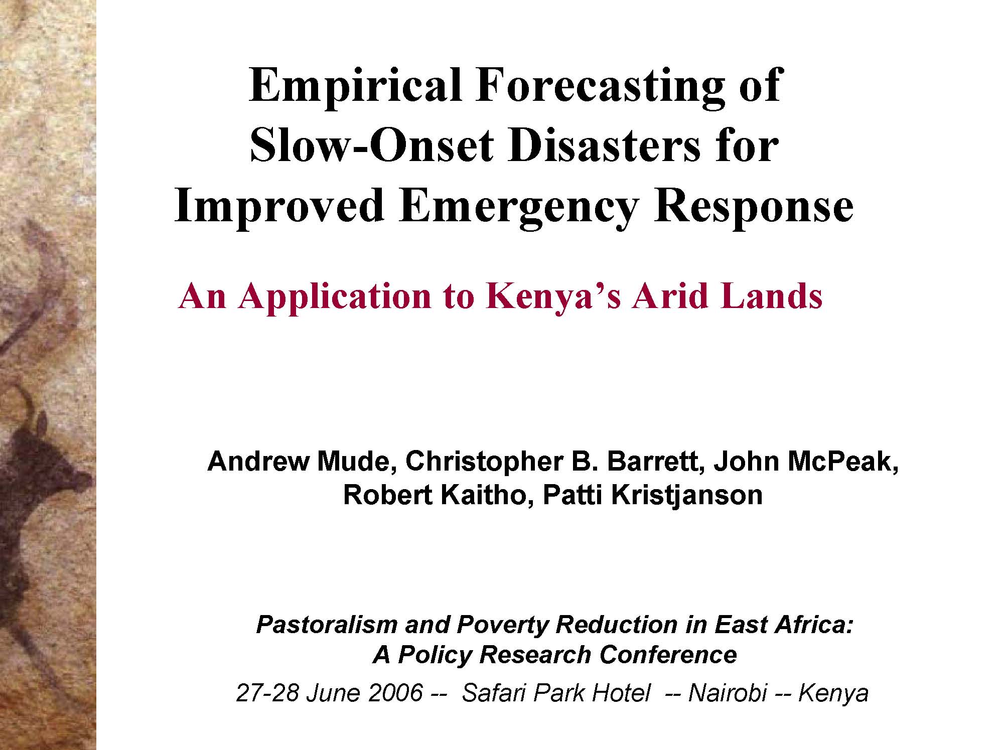
Empirical forecasting of slow-onset disasters for improved emergency response: An application to Kenya’s Arid Lands
Philippine landcare after nine years: a study on the impacts of agroforestry on communities, farming households, and the local environment in Mindanao
This paper reviews the impact of the Landcare Program on, farming households, communities, and the local environments in three sites in Mindanao, Philippines: Claveria in Misamis Oriental; Lantapan in Bukidnon; and Ned, Lake Sebu in South Cotabato. This paper reviews and synthesizes various studies conducted throughout the period from 1996 to 2004, during which the Landcare Program was established and matured. The key intervention studied is the landcare approach which consists basically of two components: conservation farming technologies and landcare processes and institutions.


