
Topics and Regions
Details
Location
Top 3 Challenges in Opening Up Land Data, excerpt from the Revised Open Up Guide to Land Governance

Open Up Guide for Land Governance, Version 2.0 (following public comments)

The Open Up Guide on Land Governance is a resource aimed to be used by governments from developing countries to collect and release land-related data to improve data quality, availability, accessibility and use for improved citizen engagement, decision making and innovation. It sets out:
-
Key datasets for land management accountability, and how they should be collected, stored, shared and published for improving land governance and transparency;
Congo: Govt reaches deal with the private sector to develop state land reserves

The Congolese government approved on September 20 the bill approving the partnership agreement with Total Nature Based Solutions (TNBS), Congo First Company (CFC), and Forest Neutral Congo (FNC) for the development of the State land reserve located at Léfini in the Plateaux department. This bill was presented to the Council of Ministers by Rosalie Matondo (pictured), the Minister of Forest Economy.
Initial Insights on Land Adjudication in a Fit-for-Purpose Land Administration
Land adjudication constitute a series of sequential steps that if followed carefully and correctly, can lead to a sufficient determination of the varied interests in land including whether, and where they overlap, complement, conflict or compete with each other. This is a preliminary study aiming to find out how the adjudication process as it is conducted in the context of a fit-for-purpose land administration (FFPLA). A framework of components for adjudication in the FFPLA context is first developed.
The Continuing Development of LandVoc: Becoming a Linked, Open Multidisciplinary Space
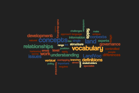
Many expert vocabularies have emerged from specific and limited scientific fields such as medicine and botany. They have aimed to achieve precise understanding between experts in these fields based on exact definitions of the terms used and originally, in their early examples, through the widespread use of Arabic or Latin as international scientific languages.
The Continuing Development of LandVoc: Multiple Uses, Diverse Users
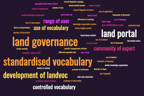
There is some irony in that many of the terms – ‘thesaurus’, ‘taxonomy’, ‘controlled vocabulary’ ‘ontology’ – that are intended to bring order and clarity to our use of language in professional settings are themselves subject to diverse interpretations and application. This is in large part because they are used by a range of people working in different contexts with different purposes.
Job Opportunities: Land Portal Seeks Researchers and Analysts for Open Data Project

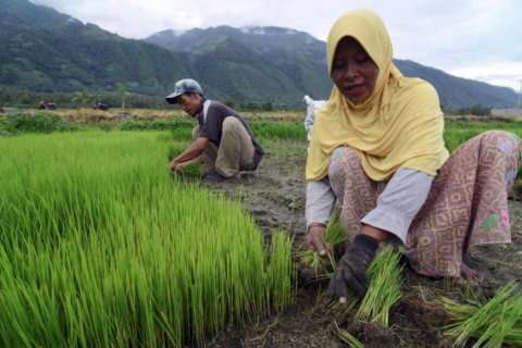
The Land Portal Foundation and Open Data Charter intend to implement the Open Up Guide for Land Governance in the period 2021 - 2024. As part of this project, we seek to develop State of Land Information (SOLI) reports for 10-12 countries in Africa and Latin America. The SOLI reports will provide an overview of publicly available data and information on key land issues from government and other stakeholders in targeted countries.

Satellite data helped indigenous Peruvians save rainforest: study
Indigenous peoples patrolling the Peruvian Amazon equipped with smartphones and satellite data were able to drastically reduce illegal deforestation, according to the results of an experiment published Monday.
The study, which appeared in the Proceedings of the National Academy of Sciences (PNAS), showed that recognizing indigenous people's rights to their territory can be a powerful force against the climate crisis, the authors said.