Pasar al contenido principal

page search

There are 9, 839 content items of different types and languages related to Utilización de la tierra on the Land Portal.
Displaying 2425 - 2436 of 4573

From plot to watershed management: Experience in farmer participatory Vertisol technology generation and adoption in highland Ethiopia

Conference Papers & Reports
Diciembre, 2001
Etiopía
África
África oriental

This chapter summarises the experience of a research project for developing and disseminating technologies for better management of Vertisols for improving productivity.

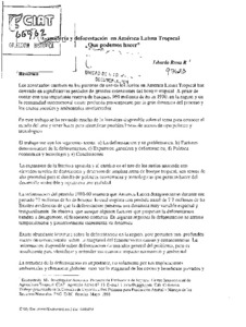
Ganadería y deforestación en América Latina Tropical: Qué podemos hacer?

Reports & Research
Diciembre, 1998
América central
América del Sur

Short-term trends show that livestock production is becoming an increasingly important factor in regional development, possibly because of the combined effect of increasing the forages on offer and planting crops better adapted to the environmental and economic conditions of marginal areas and the decreasing interest of the State in expanding the agricultural frontier. Overall planning of land use should be improved, but to do so, a more detailed characterization and monitoring of deforestation are essential.

Geological and geomorphological controls on groundwater occurrence in a hard rock region

Journal Articles & Books
Diciembre, 2016

Remote sensing and GIS tools have broadly helped hydrogeologists to delineate the groundwater prospective zones for watershed development and management. The origin, movement and existence of groundwater depends on several factors such as slope, drainage density, land use, geology, lineament density and geomorphology. Based on these, the mapping and identification of groundwater potential zones were carried out in a part of Nalgonda district, Telangana, India.

Genetic diversity and symbiotic efficiency of legume nodulating bacteria from different land use systems in taita taveta, kenya

Journal Articles & Books
Diciembre, 2011
Kenya
África
África oriental

Populations of Legume Nodulating Bacteria (LNB) were assessed under glasshouse conditions in soils collected from selected landuse systems in Taita Taveta district, Kenya. The populations were estimated by the most-probable-number (MPN) plant infection technique using Macroptilium atropurpureum (DC.) Urban (siratro) as the trap plant. The LNB populations varied from 1.1 × 10 to 6.1 × 10⁶ cells g-1 of soil. There was apparent landuse effect on abundance of LNB with maize-bean cropping system and shrubland giving high population estimates.

Ghana

Journal Articles & Books
Diciembre, 2013
Ghana
África
África occidental

Including inland water bodies, Ghana covers 238,539 square kilometers and is located on the south central coast of West Africa. The country shares bor¬ders in the east with Togo, in the north with Burkina Faso, and in the west with Côte d’Ivoire. The topography of Ghana is mainly undulating, with most slopes less than 5 percent and many not exceeding 1 percent. The topography of the high rainforest is, however, mainly strongly rolling. The uplifted edges of the Voltarian basin give rise to narrow plateaus between 300 and 600 meters in elevation (Boateng 1998).