Overslaan en naar de inhoud gaan

page search

Displaying 1 - 12 of 171

Satellite And Artificial Intelligence In Mapping Multidimensional Poverty In Africa

LandLibrary Resource
december, 2023
Global

Context and backgroundMultidimensional Poverty (MP) considers poverty in multiple dimensions of deprivations such as health, education, energy, the standard of living and access to basic services. MP remains a major challenge in Africa, with a large proportion of the population living in MP.

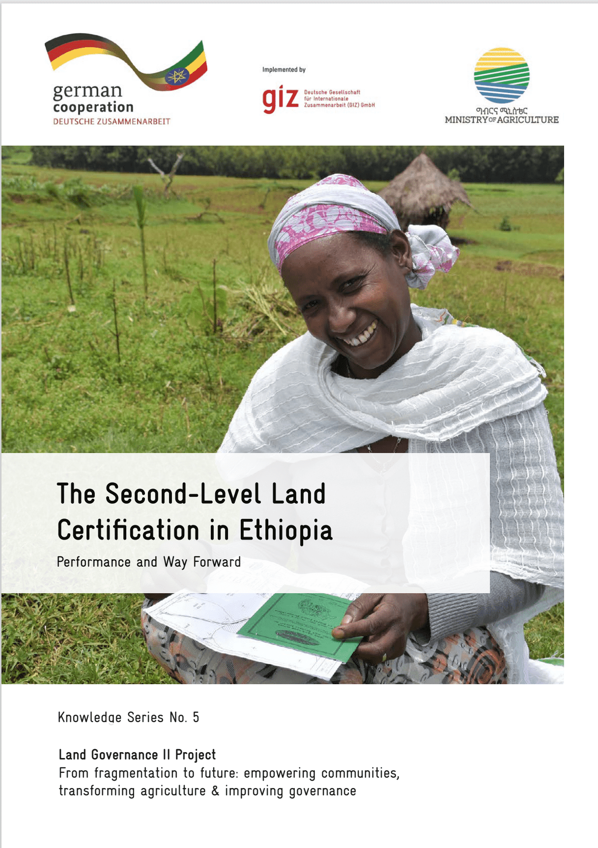
The Second-Level Land Certification in Ethiopia

LandLibrary Resource
Reports & Research
december, 2023
Ethiopia

This report provides an overview of land administration and certification efforts in Ethiopia, focusing on the Second-Level Land Certification (SLLC) program. As the most populous landlocked country in the world, Ethiopia's economy heavily relies on agriculture, making land tenure security and sustainable management crucial for livelihoods and food security.

Automated in-season rice crop mapping using Sentinel time-series data and Google Earth Engine: A case study in climate-risk prone Bangladesh

LandLibrary Resource
december, 2023
Bangladesh

High-resolution mapping of rice fields is crucial for understanding and managing rice cultivation in countries like Bangladesh, particularly in the face of climate change. Rice is a vital crop, cultivated in small scale farms that contributes significantly to the economy and food security in Bangladesh.

Critical assessment of cocoa classification with limited reference data: A study in Côte d’Ivoire and Ghana using sentinel-2 and random forest model

LandLibrary Resource
december, 2023
Ghana

Cocoa is the economic backbone of Côte d’Ivoire and Ghana, making them the leading cocoa-producing countries in the world. However, cocoa farming has been a major driver of deforestation and landscape degradation in West Africa. Various stakeholders are striving for a zero-deforestation cocoa sector by implementing sustainable farming strategies and a more transparent supply chain.

Protocol for the field experiment for variety calibration as an input in the yield estimation

LandLibrary Resource
december, 2023
Global

Work package 4 maps rice areas using remote sensing, geographic information system (GIS), and crop modeling. This work builds on the Remote sensingbased Information and Insurance for Crops in Emerging economies (RIICE, http://www.riice.org/) co-developed by IRRI and implemented in South and Southeast Asian countries.

Protocol for the collection of leaf area index (LAI) for yield estimation

LandLibrary Resource
december, 2023
Global

Work package 4 maps rice areas using remote sensing, geographic information system (GIS), and crop modeling. This work builds on the Remote sensing-based Information and Insurance for Crops in Emerging economies (RIICE, http://www.riice.org/) co-developed by IRRI and implemented in South and Southeast Asian countries.