Aller au contenu principal

page search

Displaying 1 - 12 of 171

Un Nouveau Paradigme De Gestion Du Patrimoine Foncier National En Mauritanie Pour Une Meilleure Introduction De L’Agrobusiness

Décembre, 2023
Global

Context and planMauritania has immense land reserves. Its national land bank is estimated at 502,000 ha, more than enough to promote agribusiness and achieve food self-sufficiency. However, the rural sector only contributes 17% of GDP and employs 21% of the working population.  Since the 1970s, agriculture has been unable to take off and make up the shortfall in food products (wheat, cereals, pulses, fruit, etc.) on the national market.

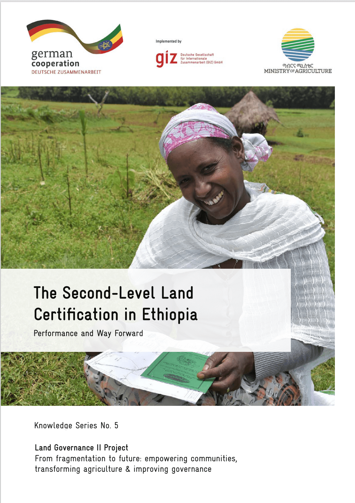
The Second-Level Land Certification in Ethiopia

Reports & Research
Décembre, 2023
Ethiopia

This report provides an overview of land administration and certification efforts in Ethiopia, focusing on the Second-Level Land Certification (SLLC) program. As the most populous landlocked country in the world, Ethiopia's economy heavily relies on agriculture, making land tenure security and sustainable management crucial for livelihoods and food security.

Automated in-season rice crop mapping using Sentinel time-series data and Google Earth Engine: A case study in climate-risk prone Bangladesh

Décembre, 2023
Bangladesh

High-resolution mapping of rice fields is crucial for understanding and managing rice cultivation in countries like Bangladesh, particularly in the face of climate change. Rice is a vital crop, cultivated in small scale farms that contributes significantly to the economy and food security in Bangladesh. Accurate mapping can facilitate improved rice production, the development of sustainable agricultural management policies, and formulation of strategies for adapting to climatic risks.

Critical assessment of cocoa classification with limited reference data: A study in Côte d’Ivoire and Ghana using sentinel-2 and random forest model

Décembre, 2023
Ghana

Cocoa is the economic backbone of Côte d’Ivoire and Ghana, making them the leading cocoa-producing countries in the world. However, cocoa farming has been a major driver of deforestation and landscape degradation in West Africa. Various stakeholders are striving for a zero-deforestation cocoa sector by implementing sustainable farming strategies and a more transparent supply chain. In the context of tracking cocoa sources and contributing to cocoa-driven deforestation monitoring, the demand for accurate and up-to-date maps of cocoa plantations is increasing.

Protocol for the field experiment for variety calibration as an input in the yield estimation

Décembre, 2023
Global

Work package 4 maps rice areas using remote sensing, geographic information system (GIS), and crop modeling. This work builds on the Remote sensingbased Information and Insurance for Crops in Emerging economies (RIICE, http://www.riice.org/) co-developed by IRRI and implemented in South and Southeast Asian countries. RIICE technology is being introduced across Africa to enhance its rice monitoring system. A set of field protocols and forms was developed for seasonal field data collection.

Protocol for the collection of leaf area index (LAI) for yield estimation

Décembre, 2023
Global

Work package 4 maps rice areas using remote sensing, geographic information system (GIS), and crop modeling. This work builds on the Remote sensing-based Information and Insurance for Crops in Emerging economies (RIICE, http://www.riice.org/) co-developed by IRRI and implemented in South and Southeast Asian countries. RIICE technology is being introduced across Africa to enhance its rice monitoring system. A set of field protocols and forms was developed for seasonal field data collection.

Spatial Analysis Of Land Disputes In The Ashanti Region

Décembre, 2022
Norway

Context and Background: Land is an important resource for human survival as well as that of other living organisms. Despite its importance, there are many problems that come with its management. There are increasing controversies and disputes over the ownership, access, and use of land. This is due to the increase in land demand, owing to factors such as population growth, urbanization, and food security. Land disputes in the Ashanti Region have drastically escalated recently as a result of these factors.