Aller au contenu principal

page search

Displaying 49 - 60 of 171

Situational analysis of the Karamoja-Turkana/West Pokot-Easter Equatoria Cluster

Décembre, 2021
Global

This study evaluates the context within the targeted areas in the Horn of Africa, and summarises common investments in these countries in relation to climate adaptation and climate security based on a review of Nationally Determined Contributions. The report also assesses key agreements in the Karamoja-Turkana/Pokot-Eastern Equatoria cluster, identifying the focus priorities of these agreements and suggested interventions with the purpose of informing stakeholders on regional priorities and investments with cross-border benefits.

Vulnerability mapping of 100 priority tree species in Central Africa to guide conservation and restoration efforts

Décembre, 2021
Global

Climate change and other anthropogenic threats are increasingly imperilling the diverse biomes of Central Africa, which are globally important for biodiversity, carbon storage and people's livelihoods. The objectives of this paper were to: (i) map the vulnerability of 100 socio-ecologically important priority tree species in Central Africa to climate change, fire, habitat conversion, overexploitation, overgrazing and (ii) propose a spatially explicit strategy to guide restoration and conservation actions.

The impact of user characteristics of smallholder farmers on user experiences with collaborative map applications

Décembre, 2021
Global

In the future, farmers will have increasing opportunities to use collaborative smartphone applications for agricultural management. Geospatial information in combination with agricultural-relevant information is a great source of knowledge for farmers. Including maps in collaborative mobile agriculture applications benefits communication processes related to agricultural-relevant questions. Ensuring a positive user experience with map interfaces depends on their design.

AVONET: morphological, ecological and geographical data for all birds

Décembre, 2021
Global

Functional traits offer a rich quantitative framework for developing and testing theories in evolutionary biology, ecology and ecosystem science. However, the potential of functional traits to drive theoretical advances and refine models of global change can only be fully realised when species-level information is complete. Here we present the AVONET dataset containing comprehensive functional trait data for all birds, including six ecological variables, 11 continuous morphological traits, and information on range size and location.

Good Practice

Institutional & promotional materials
Novembre, 2021
Latin America and the Caribbean
South America
Peru

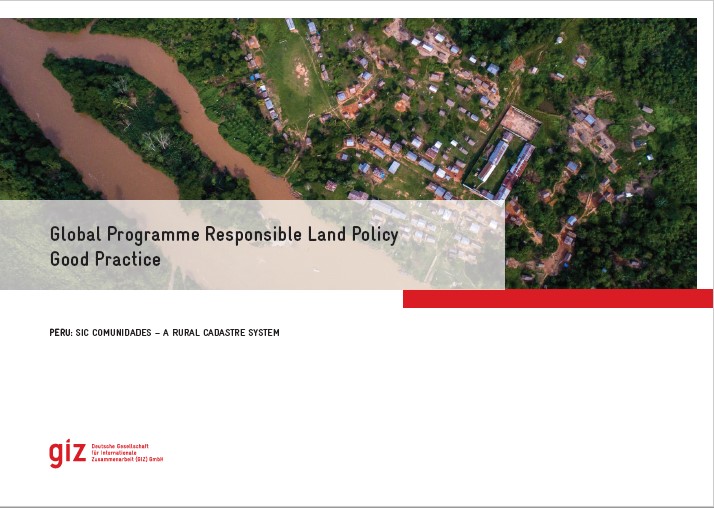
The Global Programme 'Responsible Land Policy' (GPRLP) is part of the Special Initiative 'One World, No Hunger' of the German Federal Ministry for Economic Cooperation and Development (BMZ), which aims to reduce extreme poverty and hunger.


In Peru, ProTierras Comunales (PTC), as part of the Global Programme, aims to improve the access to land and natural resources for native communities in the Peruvian Amazon, in the regions Ucayali and San Martín. A functional and regularly updated digital cadastre system was created to improve the land titling system.


Why simple solutions won’t secure African women’s land rights

Juin, 2021

Report;through a cross-sectoral analysis of three recent case studies from sub-Saharan Africa;maps out the most effective tools and approaches for strengthening rural women’s voices in decision-making processes. The authors examine which are the key factors enabling or constraining rural women’s voices;what the main challenges are that practitioners should be aware of;and how projects can ensure rural women are able to participate in and influence decision making affecting their livelihoods.

Guide Méthodologique de réalisation de la cartographie participative au Bénin

Manuals & Guidelines
Avril, 2021
Afrique sub-saharienne
Afrique occidentale
Bénin

Face aux enjeux liés à la gouvernance foncière, plusieurs initiatives de cartographie participative ont été menées, au Bénin et ailleurs en Afrique. Une initiative de ce type est d’autant plus indispensable au Bénin, sachant que les limites des villages n’ont pas encore de reconnaissance administrative. Comment tirer des enseignements de ces expériences, pour alimenter la méthodologie de réalisation des cartes participatives ? Une méthode de cartographie participative peut-elle être institutionnalisée ?

Thailand-Cambodia Border Conflict: Sacred Sites and Political Fights

Journal Articles & Books
Mars, 2021
Cambodia
Thailand

How can maps drawn over a century ago still lead to conflict between two countries? The Southeast Asian countries of Thailand and Cambodia are neighbors with a difficult history and a shared border. Their religious similarities have made sacred spaces along the border a divisive issue, with the sacred site of Preah Vihear a central point of controversy.

Conflicting Maps: How Legal Perspectives Could Minimize Zoning Cancellation in Republic of Korea

Peer-reviewed publication
Mars, 2021
Central African Republic
Democratic People's Republic of Korea
United States of America

The purpose of this paper is to propose legal and policy enhancements that may prevent the cancellation of the legal force of zoning due to discord with the Korean Land Use Regulation Map (LURM) and secure legal stability. The legal force of zoning has been canceled because of the discordance of the LURM with past cadastral maps, and this has led to confusion regarding zoning decisions and even the postponement and cancellation of public projects. Here, the causes of LURM discordance and legal cancellation of zoning were identified and evaluated through judicial precedents.

Quantifying the Land Use and Land Cover Changes in the Yellow River Basin while Accounting for Data Errors Based on GlobeLand30 Maps

Peer-reviewed publication
Janvier, 2021
Norway
United States of America

Land use and land cover (LULC) change influences many issues such as the climate, ecological environment, and economy. In this study, the LULC transitions in the Yellow River Basin (YRB) were analyzed based on the GlobeLand30 land use data in 2000, 2010, and 2020. The intensity analysis method with hypothetical errors calculation was used, which could explain the deviations from uniform land changes. The strength of the evidence for the deviation was revealed even though the confusion matrixes of the LULC data at each time point for the YRB were unavailable.

Mesurer les droits des individus à la terre

Reports & Research
Décembre, 2020
Afrique
Amériques
Asie
Europe
Océanie

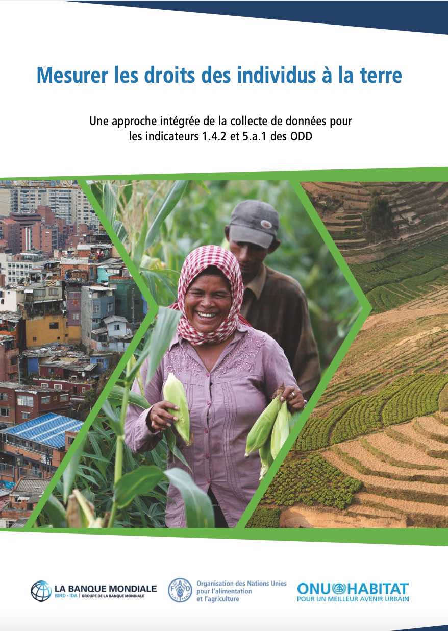
Ce document vise à faciliter la collecte de données comparable entre pays pour le calcul des indicateurs des ODD 1.4.2 et 5.a.1 conformément aux méthodologies approuvées par l’IAEG-SDG. Cette publication donne un aperçu des indicateurs, une discussion sur les différents modules de questionnaire proposés et des conseils détaillés pour chacun.