Missed an interesting event or property rights? Find out the headlines and information about any past events or conferences.
Application of NASA SPoRT-Land Information System (SPoRT-LIS) Soil Moisture Data for Drought
NASA’s Applied Remote Sensing Training Program (ARSET) has opened a new open, online webinar series: Application of NASA SPoRT-Land Information System (SPoRT-LIS) Soil Moisture Data for Drought. This 3-part webinar series is focused on the introduction of the NASA Land Information System (LIS) output of soil moisture at various depths for drought analysis and monitoring. Examples from operational applications as well as practice exercises (for using LIS data for drought monitoring) will be included in this course. Access to the SPoRT-LIS products via online viewer, in GIS formats, and GIS-based display tools, will also be included. Moreover, self-paced microlessons will be available to help users confirm their understanding and improve their skill via homework lessons between live sessions.
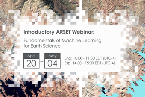
Fundamentals of Machine Learning for Earth Science
NASA’s Applied Remote Sensing Training Program (ARSET) has opened a new online introductory webinar series: Fundamentals of Machine Learning for Earth Science. This three-part training, presented in English and Spanish, is open to the public and will provide attendees an overview of machine learning in regards to Earth Science, and how to apply these algorithms and techniques to remote sensing data in a meaningful way. Attendees will also be provided with end-to-end case study examples for generating a simple random forest model for land cover classification from optical remote sensing. We will also present additional case studies to apply the presented workflows using additional NASA data.
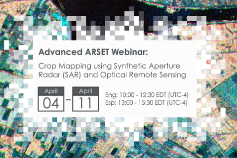
Crop Mapping using Synthetic Aperture Radar (SAR) and Optical Remote Sensing
NASA’s Applied Remote Sensing Training Program (ARSET) has opened a new online advanced webinar series: Crop Mapping using Synthetic Aperture Radar (SAR) and Optical Remote Sensing. This three-part training, presented in English and Spanish, is open to the public and builds on previous ARSET agricultural trainings. Here we present more advanced radar remote sensing techniques using polarimetry and a canopy structure dynamic model to monitor crop growth. The training will also cover methods that use machine learning methods to classify crop type using a time series of Sentinel-1 & Sentinel-2 imagery. This series will include practical exercises using the Sentinel Application Platform (SNAP) and Python code written in Python Jupyter Notebooks, a web-based interactive development environment for scientific computing and machine learning.
CCSI Executive Training on Sustainable Investments in Agriculture 2023
The 2023 Executive Training Brochure is available for download here(link is external). Applications will be accepted here(link is external) on a rolling basis until March 15, 2023. Applicants are strongly encouraged to apply early.
IATI Members' Assembly and Community Exchange (13-16 March 2023)
IATI will host its annual Members' Assembly and Community Exchange in-person in Copenhagen (UN City) between Monday 13 and Thursday 16 March 2023.
Foro de los Pueblos Indígenas
La sexta reunión mundial del Foro de los Pueblos Indígenas en el FIDA, a celebrarse los días 9, 10 y 13 de febrero de 2023, se centrará en el Liderazgo de los pueblos indígenas en las cuestiones del clima: soluciones basadas en las comunidades para mejorar la resiliencia y la biodiversidad.
LDC 2022 : Les pressions mondiales sur les terres locales : Perspectives du Sud
Le thème de la sixième édition de l'ILDC en 2022 est "Global Pulls on Local Lands : Southern Perspectives". L'objectif est de poursuivre et d'élargir la portée des échanges Sud-Sud autour des conversations et des coopérations sur les terres, qui ont débuté lors du dernier épisode, tandis que l'accent des délibérations continuera d'être mis sur l'Inde.
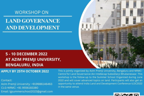
Week-long Residential workshop on “Land Governance and Development” in Bengaluru, India
Date: - 5 - 10 December 2022
Theme: - Land Governance and Development
Venue: - Azim Premji University Campus, Bengaluru, India
Copernicus Land User Event
Copernicus Land User Event - Register now!
European and global land surface applications
Disaster Assessment Using Synthetic Aperture Radar
This webinar will focus on assess areas at risk from disasters due to landslides; characterize the extent and impacts of oil spills;and characterizing inundation extent.
International conference: Forestry science for sustainable development
To mark the thirtieth anniversary of the Faculty of Forestry, University of Banja Luka and 30 years of PFE "Šume Republike Srpske" ad Sokolac, with the support of the Food and Agriculture Organization of the United Nations and The International Union for Conservation of Nature , is organizing an international scientific conference FORS²D under the theme ""Perspectives of forestry and related se
Selecting Climate Change Projection Sets for Mitigation, Adaptation, and Risk Management Applications
This two-part webinar series will provide an overview of resources for choosing climate projection sets for mitigation, adaptation, and risk management applications.


