Passar para o conteúdo principal

page search

Issues mapas related Event
There are 243 content items of different types and languages related to mapas on the Land Portal.
Displaying 1 - 8 of 8

Earth Observations for Humanitarian Applications

05 Junho 2024 - 19 Junho 2024

NASA’s Applied Remote Sensing Training Program (ARSET) has opened a new open, online webinar series: Earth Observations for Humanitarian Applications. Refugees, internally displaced people (IDPs), and other displaced populations are made more vulnerable to climate change impacts due to their socio-political marginalization. This three-part, intermediate training presents concrete strategies for mapping localized climate conditions with risks faced by refugee and IDP communities around the world.

The training will focus on flood risk assessments and specific challenges for assessing flood risk in refugee and IDP camps; gauging long-term heat stress in refugee camps and the challenges with decision making surrounding heat risk; and monitoring drought effects on agricultural landscapes in refugee settings using Earth observations (EO) to explore the correlations between anomalies in crop productivity and weather-based factors


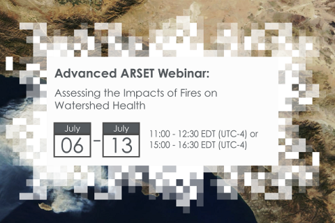
Assessing the Impacts of Fires on Watershed Health

05 Julho 2023 - 12 Julho 2023

NASA’s Applied Remote Sensing Training Program (ARSET) has opened a new open, online webinar series: Assessing the Impacts of Fires on Watershed Health. This advanced-level, three-part training will focus on using remote sensing observations for monitoring post-fire impacts on watershed health. Specifically, this training will highlight uses of NASA Earth observations (EO) for pre-fire land cover mapping, watershed delineation and stream mapping, post-fire burn severity mapping, and pre- and post-fire riverine and freshwater water quality.

Fundamentals of Machine Learning for Earth Science

19 Abril 2023 - 03 Maio 2023

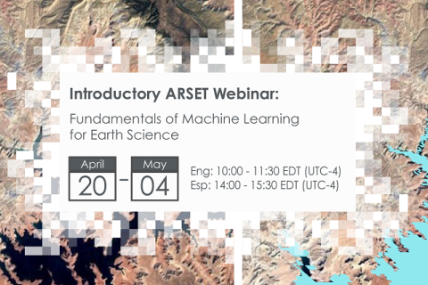
NASA’s Applied Remote Sensing Training Program (ARSET) has opened a new online introductory webinar series: Fundamentals of Machine Learning for Earth Science. This three-part training, presented in English and Spanish, is open to the public and will provide attendees an overview of machine learning in regards to Earth Science, and how to apply these algorithms and techniques to remote sensing data in a meaningful way. Attendees will also be provided with end-to-end case study examples for generating a simple random forest model for land cover classification from optical remote sensing. We will also present additional case studies to apply the presented workflows using additional NASA data.


Crop Mapping using Synthetic Aperture Radar (SAR) and Optical Remote Sensing

03 Abril 2023 - 12 Abril 2023

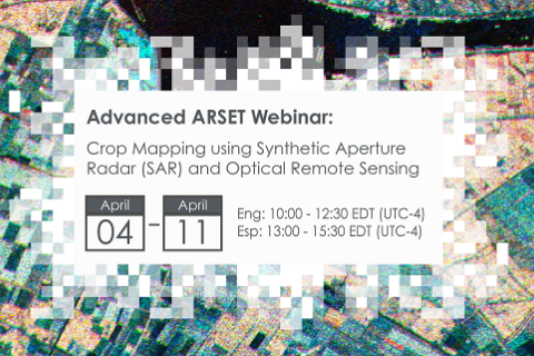
NASA’s Applied Remote Sensing Training Program (ARSET) has opened a new online advanced webinar series: Crop Mapping using Synthetic Aperture Radar (SAR) and Optical Remote Sensing. This three-part training, presented in English and Spanish, is open to the public and builds on previous ARSET agricultural trainings. Here we present more advanced radar remote sensing techniques using polarimetry and a canopy structure dynamic model to monitor crop growth. The training will also cover methods that use machine learning methods to classify crop type using a time series of Sentinel-1 & Sentinel-2 imagery. This series will include practical exercises using the Sentinel Application Platform (SNAP) and Python code written in Python Jupyter Notebooks, a web-based interactive development environment for scientific computing and machine learning.

Uncovering Land Data Opportunities in Senegal

30 Janeiro 2023

Há um impulso crescente em torno das iniciativas internacionais de monitoramento de terras, juntamente com uma demanda única por dados e informações fundiárias gratuitas, acessíveis e utilizáveis. O setor fundiário deve encontrar maneiras de aproveitar as oportunidades apresentadas pelas inovações de dados abertos enquanto negocia um cenário de dados em rápida mudança.

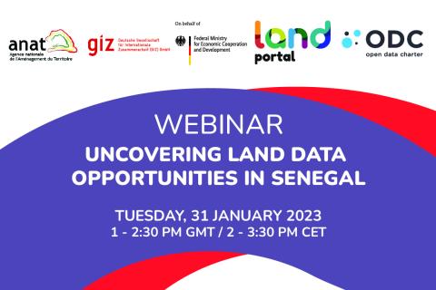
O Land Portal e a Carta Aberta de Dados têm trabalhado com o Governo do Senegal para abrir dados fundiários, seguindo as orientações estabelecidas no Guia Aberto de Governança Fundiária. O Guia Aberto é um guia prático para governos que estão procurando coletar, publicar e usar melhor os dados sobre terras para o bem público. Como fase 1 deste projeto, a equipe publicou o Relatório de Informações sobre o Estado da Terra no Senegal (SOLI). Os relatórios SOLI são análises orientadas por pesquisas sobre o estado atual dos dados fundiários que avaliam as informações disponíveis sobre a terra em relação aos padrões de dados abertos. 


O webinário irá:​

  • Compartilhar os últimos resultados do projeto piloto de implementação do Guia Aberto no Senegal e as conclusões do relatório SOLI Senegal 
  • Fazer e discutir questões relativas ao interesse e maturidade dos dados disponíveis no Senegal no que se refere à terra 
  • ouvir as perspectivas do governo do Senegal (ANAT, PROCASEF), doadores (GIZ, Banco Mundial), membros da comunidade local, utilizando estudos de casos específicos sobre dados e iniciativas fundiárias
Land Portal Foundation
Deutsche Gesellschaft für Internationale Zusammenarbeit (GIZ) GmbH
Government of Senegal

Encontro de Usuários Esri Brasil 2022

29 Setembro 2022
Brazil

GIS: Mapeando o entendimento do nosso Planeta

Aprenda, inspire-se e descubra os mais recentes avanços na tecnologia dos Sistemas de Informações Geográficas (GIS). Junte-se a milhares de usuários do ArcGIS e líderes da transformação digital que utilizam a geotecnologia para criar, mapear e compartilhar entendimento dos negócios, da sociedade e do meio ambiente.

Events

  • 0
  • 1
  • 2

Earth Observations for Humanitarian Applications

05 Junho 2024 - 19 Junho 2024

NASA’s Applied Remote Sensing Training Program (ARSET) has opened a new open, online webinar series: Earth Observations for Humanitarian Applications. Refugees, internally displaced people (IDPs), and other displaced populations are made more vulnerable to climate change impacts due to their socio-political marginalization. This three-part, intermediate training presents concrete strategies for mapping localized climate conditions with risks faced by refugee and IDP communities around the world.

The training will focus on flood risk assessments and specific challenges for assessing flood risk in refugee and IDP camps; gauging long-term heat stress in refugee camps and the challenges with decision making surrounding heat risk; and monitoring drought effects on agricultural landscapes in refugee settings using Earth observations (EO) to explore the correlations between anomalies in crop productivity and weather-based factors
 

Assessing the Impacts of Fires on Watershed Health

05 Julho 2023 - 12 Julho 2023

NASA’s Applied Remote Sensing Training Program (ARSET) has opened a new open, online webinar series: Assessing the Impacts of Fires on Watershed Health. This advanced-level, three-part training will focus on using remote sensing observations for monitoring post-fire impacts on watershed health. Specifically, this training will highlight uses of NASA Earth observations (EO) for pre-fire land cover mapping, watershed delineation and stream mapping, post-fire burn severity mapping, and pre- and post-fire riverine and freshwater water quality.

Fundamentals of Machine Learning for Earth Science

19 Abril 2023 - 03 Maio 2023

NASA’s Applied Remote Sensing Training Program (ARSET) has opened a new online introductory webinar series: Fundamentals of Machine Learning for Earth Science. This three-part training, presented in English and Spanish, is open to the public and will provide attendees an overview of machine learning in regards to Earth Science, and how to apply these algorithms and techniques to remote sensing data in a meaningful way. Attendees will also be provided with end-to-end case study examples for generating a simple random forest model for land cover classification from optical remote sensing. We will also present additional case studies to apply the presented workflows using additional NASA data.