Land suitability analysis for agriculture in the Abbay basin using remote sensing, GIS and AHP techniques

Journal Articles & Books
декабря, 2016
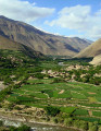
Ethiopia
To meet growing population demands for food and other agricultural commodities, agricultural land-use intensification and extensification seems to be increasing in the Abbay (Upper Blue Nile) basin in Ethiopia. However, the amount, location and degree of suitability of the basin for agriculture seem not well studied and/or documented. From global data sources, literature review and field investigation, a number of agricultural land suitability evaluation criteria were identified.