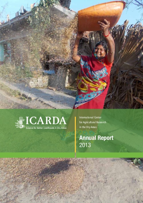
ICARDA Annual Report 2013
2013 has been a fruitful year for ICARDA marked by research accomplishments and a sense of gratitude. Our longstanding partner countries provided important support in making decentralization of the Center’s research a reality. This transition positions our research programs to more expressly target agroecosystem-based solutions, needed for wider impacts.
Evaluacion de la deforestacion y sus impactos ambientales: provincia de Padre Abad
El estudio está orientado a evaluar los problemas de la deforestación, mediante la aplicación del Sistema de Información Geográfica (SIG), que viene impactando en el medio ambiente, con el propósito de mostrar las áreas críticas para un mejor ordenamiento espacial y manejo de los recursos; en tal sentido, nos trazamos los siguientes objetivos: estudiar y analizar la deforestacion y el cambio en el medio con la finalidad de interpretar los impactos ambientales que está ocasionando en la provincia de Padre Abad, con la finalidad de recomendar las medidas que se deben adoptar para el ordenamie
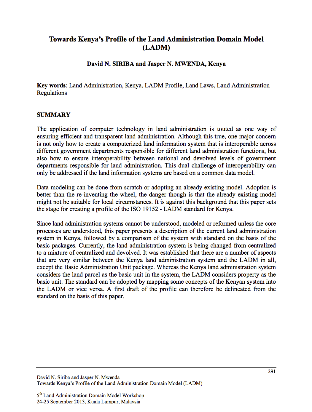
Towards Kenya’s Profile of the Land Administration Domain Model (LADM)
The application of computer technology in land administration is touted as one way of ensuring efficient and transparent land administration. Although this true, one major concern is not only how to create a computerized land information system that is interoperable across different government departments responsible for different land administration functions, but also how to ensure interoperability between national and devolved levels of government departments responsible for land administration.
A Methodology for Rapid Assessment of Rural Transport Services
Rural transport services are often
inadequate. Passenger and goods transport needs improving to
stimulate rural economies and reduce poverty. Understanding
existing rural transport systems and constraining factors is
a precondition for appropriate policy action. The
Sub-Saharan Africa Transport Policy Program (SSATP)
commissioned a study to develop and test a methodology for
the rapid assessment of rural transport systems. The
The GeoCitizen-approach: community-based spatial planning – an Ecuadorian case study
Over the last years, geospatial web platforms, social media, and volunteered geographic information (VGI) have opened a window of opportunity for traditional Public Participatory GIS (PPGIS) to usher in a new era. Taking advantage of these technological achievements, this paper presents a new approach for a citizen-orientated framework of spatial planning that aims at integrating participatory community work into existing decision-making structures.
BALTIC SURVEYING PROCEEDINGS OF SCIENTIFIC METHODICAL CONFERENCE „BALTIC SURVEYING’14”
This article deals with the theoretical issues of land resources evaluation, land fund structure, problems and directions of rational use of land resources in the Republic of Kazakhstan.
Authors:
Dzhulamanov, T., Kazakh National Agrarian Univ., Almaty (Kazakhstan)
Pentaev, T., Kazakh National Agrarian Univ., Almaty (Kazakhstan)
Igembaeva, A., Kazakh National Agrarian Univ., Almaty (Kazakhstan)
Abaeva, K., Kazakh National Agrarian Univ., Almaty (Kazakhstan)
CGIAR research program on dryland systems
Book chapter
Accessing international markets: Ports and portsheds
More than 300 million Africans, about 30 percent of the total population, live more than one day away from the nearest port. Even when ports lie within a few hundred miles, typically sparse road networks, poor maintenance, and limited transportation infrastructure translate into high access costs. The larger map illustrates cost-of-travel accessibility to 63 major African ports, based on port type, size, and capacity in terms of the estimated total number of hours, both off and on the road network, required to travel from any location in Africa to the nearest port.


