Перейти к основному содержанию

page search

Displaying 97 - 108 of 586

Suitability mapping framework for solar photovoltaic pumps for smallholder farmers in sub-Saharan Africa

Journal Articles & Books
декабря, 2018
Ethiopia
Sub-Saharan Africa

As solar panels become more a ordable, solar photovoltaic (PV) pumps have been identi ed as a high potential water lifting technology to meet the growing irrigation demand in sub-Saharan Africa (SSA). However, little is known aboutthegeo-spatial potentialofsolarbasedPVpumpingforirrigationtakinginto accountnotonlysolar radiation but also the availability of water resources and linkage to markets. This study developed a suitability framework using multi-criteria analysis in an open source GIS environment and tested it in the case of Ethiopia.

Prioritizing Suitable Locations for Green Stormwater Infrastructure Based on Social Factors in Philadelphia

Peer-reviewed publication
декабря, 2018
United States of America

Municipalities across the United States are prioritizing green stormwater infrastructure (GSI) projects due to their potential to concurrently optimize the social, economic, and environmental benefits of the “triple bottom line”. While placement of these features is often based on biophysical variables regarding the natural and built environments, highly urbanized areas often exhibit either limited data or minimal variability in these characteristics.

Identifying hotspots in land use land cover change and the drivers in a semi-arid region of India

Journal Articles & Books
декабря, 2018
India

The study examines long-term land use/land cover change (LUCC) at a finer scale in a semi-arid region of India. The objectives were to study and quantify the spatiotemporal LUCC and uncover the major drivers causing the change in the Mula Pravara river basin, which is located in a semi-arid region of Maharashtra state, India.

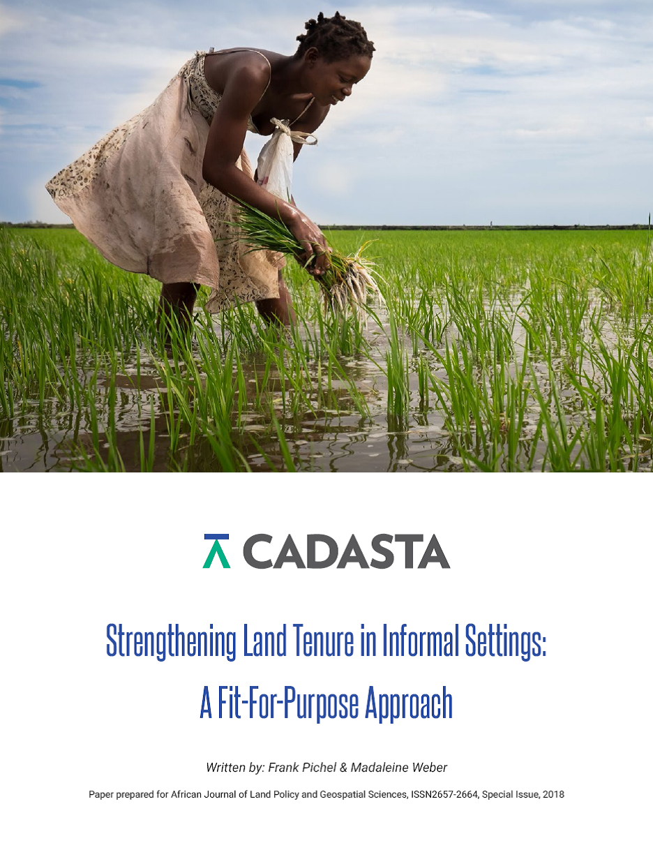
Strengthening Land Tenure in Informal Settings: A Fit-For-Purpose Approach

Journal Articles & Books
ноября, 2018
Kenya
Tanzania
Myanmar
India
Nepal
Global

A functioning land administration sector is the foundation for economic growth. Unfortunately, effective land registry and cadastral systems with national coverage exist in only a fraction of the world’s countries. Cadasta Foundation is working to overcome this challenge by developing simple digital tools and technology to help partners efficiently document, analyze, store, and share critical land and resource rights information.

Building Harmonized Private and State Land Data and Information Systems in Ethiopia

Conference Papers & Reports
ноября, 2018
Africa
Eastern Africa
Ethiopia

Different government institutions in Ethiopia are working on land related issues to tackle and manage data and information independently from each other, even though their activities and mandates are often related or even overlap. Those institutions do not have a shared modern information management system to properly compile and store data in such a way that users from other relevant institutions can access and share such data and resources for better planning and informed decision making.

Managing Resposnsible Agricultural Investment Using an Open Source Solution

Reports & Research
ноября, 2018
Africa
Eastern Africa
Ethiopia

To address food insecurity in the country, the Government of Ethiopia envisages a rapid transformation in the agriculture sector to increase production, productivity, markets and employment. It has, therefore, strategically promoted land investments for agricultural development as part of the two successive five-year Growth and Transformation Plans (GTP).

Monitoring Agricultural Investment in Ethiopia: A Remote Sensing Based Approach

Reports & Research
ноября, 2018
Africa
Eastern Africa
Ethiopia

Between 2005 and 2016, the Ethiopian Government leased about 2.4 million hectares of land for commercial agricultural investments to private domestic and foreign investors as a means of economic growth, food security and job creation. In order to steer these vast amounts of large-scale agricultural investments towards the envisaged benefits, it is crucial to monitor the investments’ implementation progress frequently.

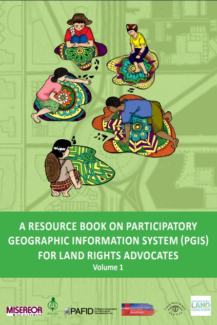
A Resource Book on Participatory Geographic Information System (PGIS) for Land Rights Advocates (Volume 1)

Journal Articles & Books
ноября, 2018
Asia
South-Eastern Asia

This guide (volume 1) aims to equip land rights advocates, development practitioners and stallholder farmers and indigenous people’s communities with the necessary knowledge, attitude, and skills on Community Mapping and Participatory Geographic Information System (PGIS). It focuses on data collection, database management, data processing, and analysis for the production of digital maps useful in advancing the land rights agenda of rural communities, particularly indigenous communities and smallholder farmers in Southeast Asia.

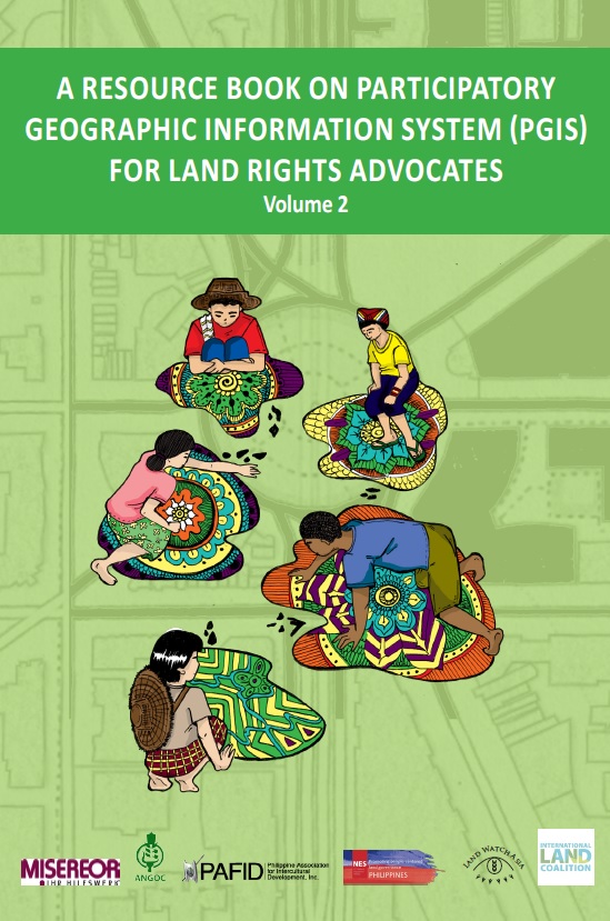
A Resource Book on Participatory Geographic Information System (PGIS) for Land Rights Advocates (Volume 2)

Journal Articles & Books
ноября, 2018
Asia
South-Eastern Asia

This guide (volume 2) aims to equip land rights advocates, development practitioners and stallholder farmers and indigenous people’s communities with the necessary knowledge, attitude, and skills on Community Mapping and Participatory Geographic Information System (PGIS). It focuses on data collection, database management, data processing, and analysis for the production of digital maps useful in advancing the land rights agenda of rural communities, particularly indigenous communities and smallholder farmers in Southeast Asia.

Evaluación del cambio de uso de la tierra y fragmentación de la cobertura forestal en el Corredor Biológico Lago Arenal Tenorio, mediante técnicas de teledetección, Costa Rica

Reports & Research
октября, 2018
Costa Rica

Determina el cambio en el uso de la tierra y la fragmentación de las zonas boscosas en el Corredor Biológico Lago Arenal Tenorio (CBLAT), en el periodo 2000 – 2017. Se utilizó imágenes del programa Landsat, a las cuales se les aplicó corrección radiométrica y atmosférica. Se realizó una clasificación supervisada utilizando el algoritmo de máxima probabilidad. Se establecieron siete clases temáticas: (1) Bosque Maduro, (2) Bosque Secundario, (3) Pasto y Charral, (4) Urbano, 5) Cuerpos de Agua, (6) Nubes y (7) Sombras.

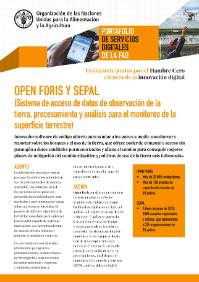
OPEN FORIS y SEPAL - Sistema de acceso de datos de observación de la tierra, procesamiento y análisis para el monitoreo de la superficie terrestre

Institutional & promotional materials
октября, 2018
Ecuador

OPEN FORIS Y SEPAL (Sistema de acceso de datos de observación de la tierra, procesamiento y análisis para el monitoreo de la superficie terrestre)

Innovador software de código abierto para ayudar a los países a medir, monitorear y reportar sobre los bosques y el uso de la tierra, que ofrece poder de cómputo y acceso sin parangón a datos satelitales pormenorizados y allana el camino para conseguir mejores planes de mitigación del cambio climático y políticas de uso de la tierra más informadas.