Resource information
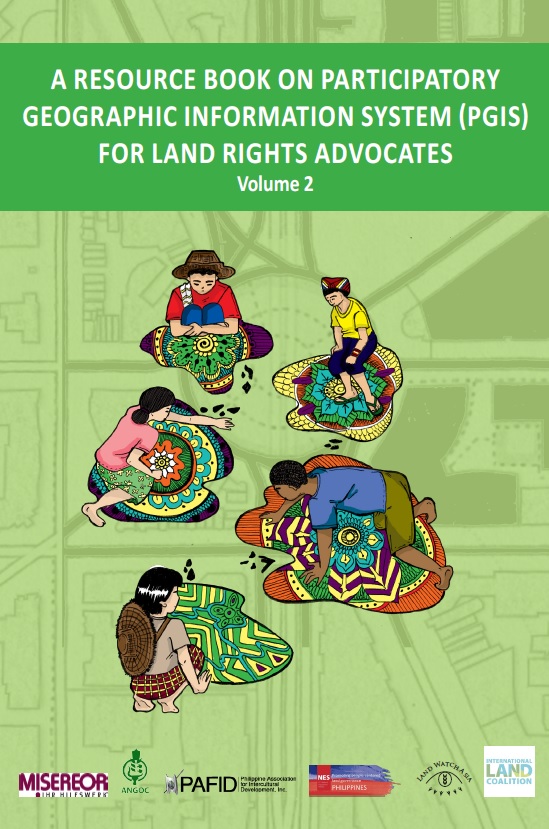
This guide (volume 2) aims to equip land rights advocates, development practitioners and stallholder farmers and indigenous people’s communities with the necessary knowledge, attitude, and skills on Community Mapping and Participatory Geographic Information System (PGIS). It focuses on data collection, database management, data processing, and analysis for the production of digital maps useful in advancing the land rights agenda of rural communities, particularly indigenous communities and smallholder farmers in Southeast Asia. This second volume is designed to impart on the “how-tos” for the production of digital maps useful in advancing the land rights agenda of rural communities, particularly indigenous communities and smallholder farmers in Southeast Asia.


