Перейти к основному содержанию

page search

Displaying 157 - 168 of 1710

The role of open data in fighting land corruption

Institutional & promotional materials
января, 2021
Global

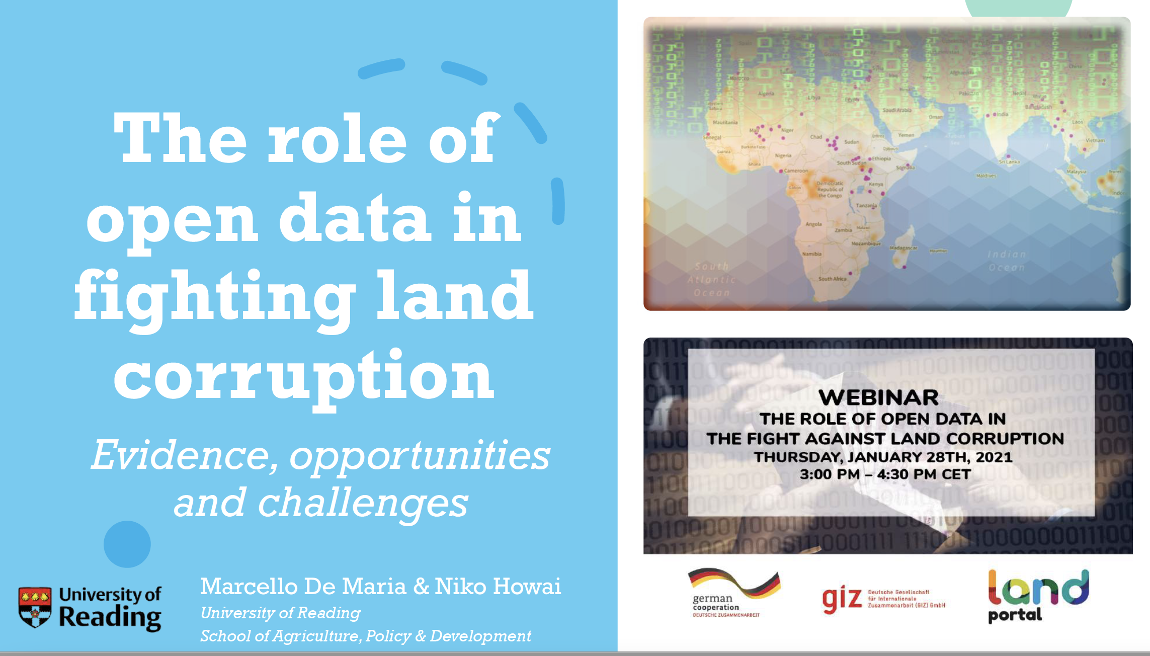
This is the presentation of Dr.  Marcello De Maria, Postdoctoral Researcher at the School of Agriculture Policy and Development at the University of Reading during the webinar on the Role of Open Data in the Fight against Land Corruption on January 28th, 2021. 

The analysis revealed overwhelming support for the use of open data as an anticorruption tool in the land sector, but it also found strong evidence for the existence of a high degree of untapped potential.

National Spatial Data Infrastructure vs. Cadastre System for Economic Development: Evidence from Pakistan

Peer-reviewed publication
января, 2021
Pakistan

The growth of Pakistan’s agriculture-based economy depends on elevating agriculture production and raising the per-capita income of rural communities. This paper evaluates the value of two simultaneous initiatives for the economic development of Pakistan, i.e., (i) reforming and modernization of the cadastre system, and (ii) the implementation of national spatial data infrastructure (NSDI). Both can provide crucial frameworks to assemble geographic information necessary for effective agriculture policies in the country.

Spatial aspect of fit-for-purpose land administration for emerging land administration systems: a conceptual framework for evaluation approach

Journal Articles & Books
Peer-reviewed publication
января, 2021
Africa
Americas
Asia
Europe
Oceania
Antarctica

Fit-for-purpose land administration (FFPLA) concept is widely applied in the emerging land administration systems (LASs). This paper aims to contribute to the development of evaluation of the spatial aspect of FFPLA. A review of evaluation models for LASs is made in relation with rationale of FFPLA to identify gaps related to evaluation of a FFPLA and to build up milestones and measurement criteria.

New land governance approaches in Mauritania and Tunisia: From VGGT principles to change

Conference Papers & Reports
января, 2021
Tunisia
Mauritania

This paper presents how the active use and contextualisation of the principles of the
Voluntary Guidelines on the Responsible Governance of Tenure of Land, Fisheries and
Forests in the Context of National Food Security (VGGT) by national stakeholders in
Mauritania and Tunisia contributed to changing the approach to tackling tenure challenges
in the two member countries of the Maghreb Arab Union.
In Mauritania, we see how the model of establishing multi-stakeholder platforms (MSPs)

Advances in the Coordination between the Cadastre and Land Registry

Peer-reviewed publication
января, 2021
Canada
Spain
United States of America

A necessary and effective coordination between cadastre and land registry has always existed in Spain, but the difficulties have only been specifically addressed in the last few years. The aim of this study is to illustrate, analyse, and evaluate advances in this coordination in Spain from the beginnings of the current system in the early twentieth century, with the cadastre and land registry operating as separate organisations. A preliminary study was made in 2002 of the difficulties that needed to be overcome to achieve an ideal coordination of mainly mapped information.

An Approach to Resolve Inconsistencies of Data in the Cadastre

Peer-reviewed publication
января, 2021
Croatia

A cadastre, as one of the key registers of land administration, must be maintained to provide up-to-date land information. Before digitization, technical and alphanumerical datasets were maintained separately, leading to redundant data. This resulted in numerous inconsistencies between the cadastral map and the register, leading to the loss of integrity of these authoritative data. The fact that the cadastral map and the register are in the electronic form today does not guarantee their integrity and quality.

The role of open data in fighting land corruption

Reports & Research
декабря, 2020
Global

The rapid progress in digital information and communication technologies  (ICTs) comes with both fresh opportunities and new challenges for different sectors and actors adopting the new solutions that become available over time. Since the mid-2000s, the global land governance community has piloted a series of open data and transparency initiatives largely based on such digital innovations, aiming at increasing accountability and counteracting corruption in the land sector, both at the local and global level.

Strengthening the Eastern Africa Land Administration Network (SEALAN) project in enhancing inter-university collaboration in land administration Eastern Africa

Peer-reviewed publication
декабря, 2020
Africa

The Eastern Africa Land Administration Network has since 2006 been collaborating in the development of education, short courses for land professionals and research in the eastern Africa region. This study presents the establishment and activities of a project on Strengthening the network and draws on results from the projects’ four work packages: i) the Network and Secretariat; ii) Short courses for land professionals; iii) Education and iv) Research. Processes, achievements, innovations, challenges and opportunities along each work package is reported.

CHALLENGING INSTITUTIONAL FRAMEWORKS IN LAND ADMINISTRATION: Many institutions, but less property rights (Case of Burundi)

Peer-reviewed publication
декабря, 2020
Burundi

Land administration as one of the mechanisms of availing property rights to owners cannot be achieved unless there are well-functioning and coordinated institutional frameworks. This paper explored the challenges emanating from the existing institutional frameworks dealing with land administration in providing property right in Burundi. A mixed research design has been applied to capture qualitative and quantitative data. A desk review of different government reports, academic papers and books have been consulted.

The Cadastre as a Source for the Analysis of Urbanization Dynamics. Applications in Urban Areas of Medium-Sized Inland Spanish Cities

Peer-reviewed publication
декабря, 2020
Spain

This article presents a methodological proposal using the cadastre as a tool to analyze urbanization dynamics. It is backed by an in-depth review of the related literature concerning Spain and Mediterranean Europe. The work uses the cadastre as a source of information, specifically leveraging the urban parcels and real estate obtained from the CAT files. After the data were collected, interpreted and organized, complementary statistical and cartographic methodologies and tools were used, together with the required database management.

Fit-For-Purpose Applications in Colombia: Defining Land Boundary Conflicts between Indigenous Sikuani and Neighbouring Settler Farmers

Peer-reviewed publication
декабря, 2020
Colombia

One of the most difficult types of land-related conflict is that between Indigenous peoples and third parties, such as settler farmers or companies looking for new opportunities who are encroaching on Indigenous communal lands. Nearly 30% of Colombia’s territory is legally owned by Indigenous peoples. This article focuses on boundary conflicts between Indigenous peoples and neighbouring settler farmers in the Cumaribo municipality in Colombia. Boundary conflicts here raise fierce tensions: discrimination of the others and perceived unlawful occupation of land.