Перейти к основному содержанию

page search

Displaying 421 - 432 of 1709

3D Cadastre and Property Rights

Journal Articles & Books
декабря, 2018
Global

An Introduction to 3D Cadastre

Over the last half century the world has seen rapid urbanization, which is anticipated to increase over the foreseeable future. According to the United Nations Population Division, only 30 percent of the world’s population lived in urban areas in 1950. As of 2018, that has increased to 55 percent with urbanization rates rising faster in some less developed regions.25 With the rise of urbanization, more people are living in multi-story buildings with shared services and facilities.


Human Rights

Training Resources & Tools
декабря, 2018
Global

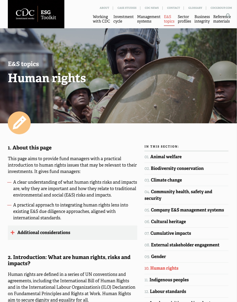
This guide provides fund managers with a practical introduction to human rights issues that may be relevant to their investments. It aims to provide


• a clear understanding of what human rights risks and impacts are, why they are important and how they relate to traditional environmental and social (E&S) risks and impacts, and


• a practical approach to integrating human rights lens into existing E&S due diligence approaches, aligned with international standards.

Land governance in Brunei Darussalam

Reports & Research
декабря, 2018
Brunei Darussalam

Land governance is proven to be significant in the development and survival of any nation. However, challenges associated with land governance have been a continuing debate as they keep changing due to the progress of any given society. Most researches on land governance have concentrated on the general aspects of land administration and management with reference to best practices of good governance.

Case 2.1 – Special Agricultural Business Lease (SABL)

Journal Articles & Books
декабря, 2018
Papua New Guinea

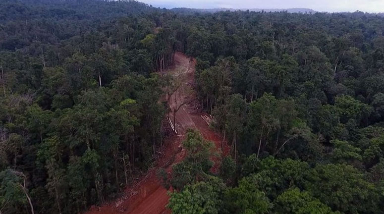
On July 21, 2011 the then Acting Prime Minister Sam Abal announced the establishment of a Commission of Inquiry to investigate 77 land leases which were issued under the Somare government’s Special Agriculture & Business Leases (SABL). The inquiry, which was later extended by Prime Minister Peter O’Neill in October 2011 for a further five months, discovered that over 90 percent of the leases totalling over 5 million hectares were illegally obtained from traditional landowners (Zealand, 2015).


The Coordination Of Actors In Urban Regeneration Projects: Fikirtepe, Istanbul, Turkey

Journal Articles & Books
декабря, 2018
Turkey

It is necessary for urban regeneration projects to be carried out successfully in coordination with other actors During the process of realising regeneration many actors and strategicallygiven decision play a crucial role The ways how actorsfactors are involved in the process the relationships founded among them and investigating the methods followed during the process constitute the content of this study The purpose of this study is to develop an approach with regard to the coordination established between actorsfactors that participated during the regeneration process This study covers th

Guidance on spatial technologies for disaster risk management in aquaculture

Institutional & promotional materials
декабря, 2018
Bangladesh
United States of America
Germany
China
Italy
Indonesia
Peru
United Kingdom
Canada
Mexico
Norway

This new Guide describes the application of spatial technology to improve disaster risk management (DRM) within the aquaculture sector. DRM requires interrelated activities to ensure prevention, preparedness (including early warning), response and recovery for a wide range of natural, technological and complex disasters that can impact aquaculture operations and livelihoods.

Guidance on spatial technologies for disaster risk management in aquaculture

Journal Articles & Books
декабря, 2018
Mozambique
Bangladesh
United States of America
Philippines
Haiti
Japan
Chile
China
Myanmar
Indonesia
Portugal
Ireland
Canada
Argentina
United Kingdom
Italy
Sri Lanka
Mexico
New Zealand

This new guide describes the application of spatial technology to improve disaster risk management (DRM) within the aquaculture sector. DRM requires interrelated actions and activities to ensure early warning, prevention, preparedness, response and recovery for a wide range of natural, technological and complex disasters that can impact aquaculture operations and livelihoods.

Manual para la preparación de datos geográficos para la herramienta de ASIS-País

Journal Articles & Books
декабря, 2018
Nicaragua
Bolivia

Este manual tiene como objetivo familiarizar a los usuarios de la herramienta FAO-ASIS País con la conversión de datos del Sistema de Información Geográfica (SIG) a los formatos adecuados para alimentar la herramienta.

Este manual (1) forma parte de una serie de 3 manuales para el uso de la herramienta ASIS-País

Manual de usuario donde se describen los pasos a seguir para transformar los datos de información geográfica como mapas de uso actual de la tierra y regiones administrativas en el formato que requiere la herramienta ASIS-PAÍS.

Legitimation of "special value" as a tool of legal protection of lands: the case of Ukraine

Policy Papers & Briefs
декабря, 2018
Latvia
Ukraine

The main factors that influence the rational land use, conservation and protection of land resources are global ecological and food security, world's population growth, climate change, land acquisition by large world agricultural corporations etc. In this process a priority of attention is protection of the important agricultural lands (in Ukraine, these lands are called especially valuable lands - EVL). Besides, lands with highly productive soils, areas with undisturbed ecosystems, territories with objects of cultural heritage, natural therapeutic resources are a part of EVL.

Integrating local knowledge and remote sensing for eco-type classification map in the Barotse Floodplain, Zambia

Journal Articles & Books
декабря, 2018
Zambia
Southern Africa

This eco-type map presents land units with distinct vegetation and exposure to floods (or droughts) in three villages in the Barotseland, Zambia. The knowledge and eco-types descriptions were collected from participatory mapping and focus group discussions with 77 participants from Mapungu, Lealui, and Nalitoya. We used two Landsat 8 Enhanced Thematic Mapper (TM) images taken in March 24th and July 14th, 2014 (path 175, row 71) to calculate water level and vegetation type which are the two main criteria used by Lozi People for differentiating eco-types.

Evaluación de la distribución espacial de la biodiversidad de papa en los distritos de Challabamba en Cusco y Quilcas en Junín mediante el uso del mapeo participativo = Assessment of the spatial distribution of potato biodiversity in the districts of C...

Journal Articles & Books
декабря, 2018
Peru
Central America
South America

Challabamba en Cusco y Quilcas en Huancayo son dos zonas contrastantes con alta biodiversidad de variedades de papa. El presente estudio tuvo por finalidad evaluar la distribución espacial de la biodiversidad de papa mediante el mapeo participativo. Se determinaron las áreas de siembra de papa, el número de variedades de papa existente en la comunidad, el rango altitudinal de siembra por categoría varietal, la frecuencia de las variedades de papa, y la dinámica espacial-temporal de las zonas de siembra de papa en el territorio de las comunidades campesinas.