Перейти к основному содержанию

page search

Displaying 97 - 108 of 108

Combining Administrative and Open Source Data for Monitoring Land Governance

Conference Papers & Reports
февраля, 2017
India

Production, availability and accessibility of reliable data and statistics are of fundamental importance in monitoring and in taking evidence-based decisions for good land governance. The demand for data as evidence is increasingly focused to monitor global and national developmental status and targets. Implementation of intentionally agreed commitments like Sustainable development Goals (SDGs) influence data production and availability, and the development of national statistical capacities (OECD, 2015)1 .

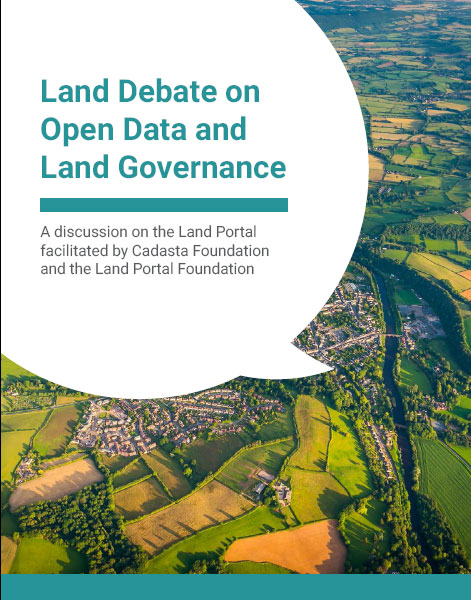
Report: Debate on Open Data and Land Governance

Reports & Research
декабря, 2016
Global

Across most contexts, government data sources on land are largely inaccessible, from land administration data, such as parcel data and ownership information to land investments, contract data and even policy information. In considering data on property ownership specifically, the latest version of the Open Data Barometer shows only two countries, New Zealand and the United Kingdom, obtained a full 100% score on the topic of Land Ownership. When this land administration data is made available, it is commonly made public via a web portal rather than as open data.

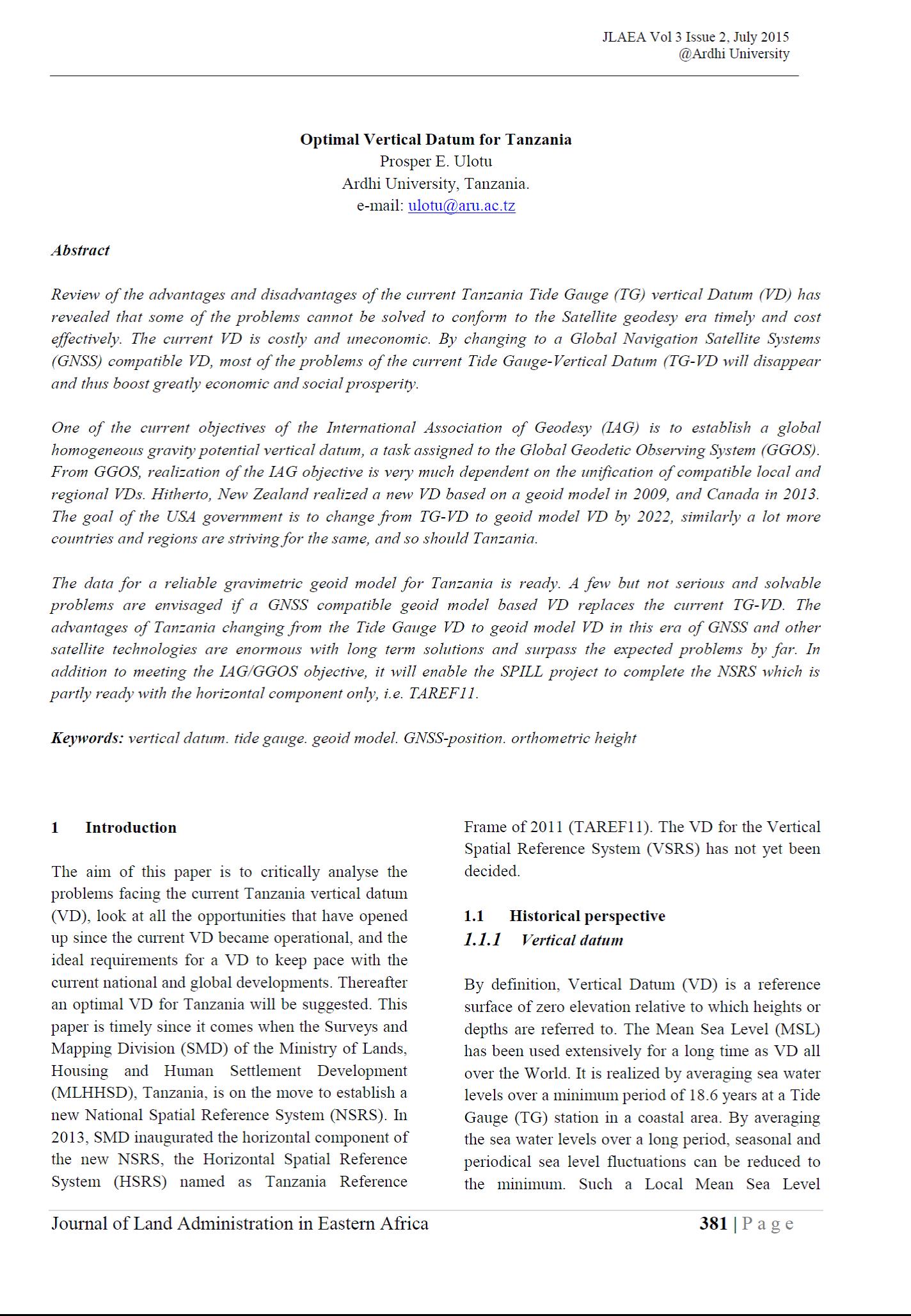
Optimal Vertical Datum for Tanzania

Journal Articles & Books
июня, 2015
Tanzania

Review of the advantages and disadvantages of the current Tanzania Tide Gauge (TG) vertical Datum (VD) has revealed that some of the problems cannot be solved to conform to the Satellite geodesy era timely and cost effectively. The current VD is costly and uneconomic. By changing to a Global Navigation Satellite Systems (GNSS) compatible VD, most of the problems of the current Tide Gauge-Vertical Datum (TG-VD will disappear and thus boost greatly economic and social prosperity.

Kenya - Forest area

Training Resources & Tools
декабря, 2014
Kenya

In 2015, forest area for Kenya was 44,130 sq. km. Forest area of Kenya increased from 40,238 sq. km in 1996 to 44,130 sq. km in 2015 growing at an average annual rate of 0.51 %.


How To: Contract Monitoring Roadmap

Training Resources & Tools
сентября, 2013
Global

This platform provides an introduction to the concepts surrounding community monitoring, based on the "Contracting Roadmap" developed by the World Bank Institute. It is appropriate for civil society organisations who are exploring whether they can monitor procurements, butit also applies to any entity interested in contract and project monitoring. It explains the different types of monitoring and different approaches, how to access data and general rules in what to do with it afterwards in the analysis.

Gender Toolkit for International Finance Watchers

Training Resources & Tools
марта, 2013
Global

This toolkit aims to give civil society organizations the tools they need to address gender justice issues in their work. The toolkit contains sections on:


  1. Gender Concepts (terms, frameworks and key debates);
  2. Gender Action Links (topical briefings and action resources);
  3. Gender Tools (checklists, indicators and methodologies for gender analysis in specific sectors); and
  4. Gender Data (links to sex-disaggregated databases).

Resource Contracts

Training Resources & Tools
декабря, 2011
Global

ResourceContracts.org is a repository of publicly available oil, gas, and mining contracts in machine-readable, searchable, open data format. ResourceContracts.org promotes greater transparency of investments in the extractive industries, and facilitates a better understanding of the contracts that govern them. This site provides summaries of contracts and their terms to facilitate understanding of important provisions in the documents.

Balancing the technical and social contexts of Spatial Data Infrastructure (SDI).

Journal Articles & Books
декабря, 2011

One special characteristic of spatial data is that they can be shared to be used for many purposes other than the one for which they were initially produced. To facilitate their efficient sharing and reuse, they need to be properly managed in the form of a Spatial Data Infrastructure (SDI). This study

Land Matrix

Datasets
Training Resources & Tools
декабря, 2008
Africa
Uganda
Cameroon
Senegal
Latin America and the Caribbean
Argentina
Asia
Philippines
Eastern Europe

The Land Matrix is an independent land monitoring initiative that promotes transparency and accountability around large-scale land acquisitions (LSLAs) in low- and middle-income countries across the world. By capturing data on its website, the initiative aims to stimulate debate on the trends and impacts of LSLAs, facilitate wide participation in collecting and sharing data about these deals, and contribute to the growing movement towards open data.