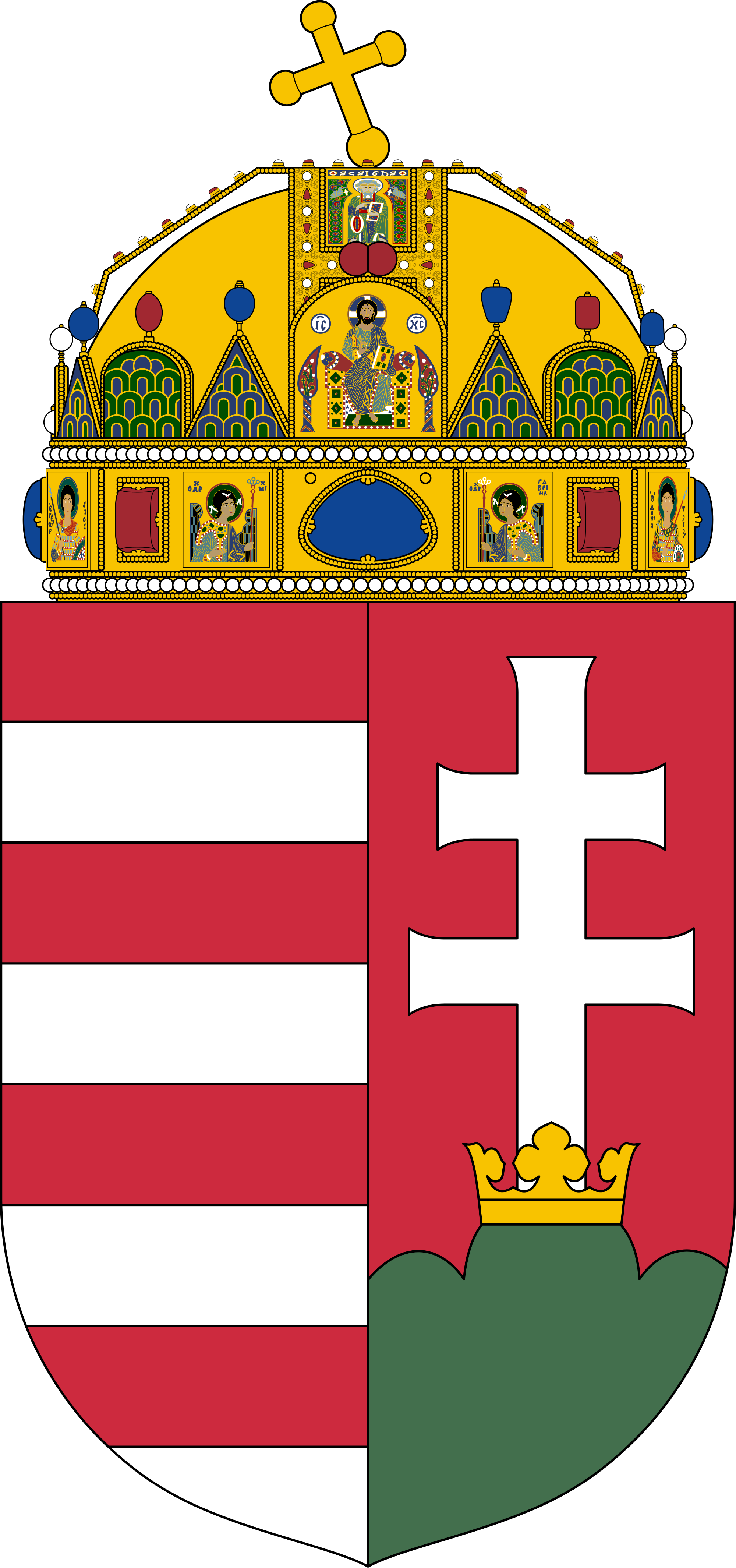
Hungary became a Christian kingdom in A.D. 1000 and for many centuries served as a bulwark against Ottoman Turkish expansion in Europe. The kingdom eventually became part of the polyglot Austro-Hungarian Empire, which collapsed during World War I. The country fell under communist rule following World War II. In 1956, a revolt and an announced withdrawal from the Warsaw Pact were met with a massive military intervention by Moscow. Under the leadership of Janos KADAR in 1968, Hungary began liberalizing its economy, introducing so-called "Goulash Communism." Hungary held its first multiparty elections in 1990 and initiated a free market economy. It joined NATO in 1999 and the EU five years later.
Hungary is a parliamentary republic.
Source: CIA World Factbook
Members:
Resources
Displaying 11 - 15 of 52Law No. LXXVI of 1996 on land surveys and cartography.
This Law is composed of 9 chapters, setting out the duties of the State and regulating land surveys and cartographic activities in order to create a framework for such activities and to provide a professional and efficient service. Chapter 5 deals with the carrying out of land surveys. Ownership questions and cartographic activities are regulated in Chapter 7. Administrative provisions are set forth in Chapter 8 in which the Commission of coordination of Land Survey and Mapping is established.
Act LV of 1994 on Arable Land.
The purpose of this Law is the establishment of market oriented conditions in the agricultural sector based on private ownership. Land transfer and the use of land as guarantee for land-based credit should promote the efficient operation of new businesses. This Law basically regulates the use of arable land and aims to create landed properties suitable for competitive agricultural production, avoiding to burden land with the effects of excessive subdivision.
Governmental Decree No. 338 of 2006 concerning land offices, the Institute of Geodesy, Cartography and Remote Sensing, the Geographical Names Committee and detailed rules of real estate registration proceedings.
This Decree establishes that the competent authority for real estate issues is the countrywide network system of land offices (territorial and local offices). They are responsible for registration of legal transactions, cadastral mapping changes and dealing with land and other real estate property-related activities. The Hungarian Land Register is owned and maintained by the Ministry of Rural Development. This Decree establishes also the Institute of Geodesy, Cartography and Remote Sensing as the institutional body for land surveying and geo-information.
Decree No. 152 of 2014 (VI. 6.) Korm. of the Government concerning the task and competence of the members of the Government
This Decree sets out the competences of each member of the Government. The Minister of Agriculture is in charge of agricultural policy, food-chain control, food industry, forestry, land management, fishery, cadastre, environmentel protection, nature conservation, mapping and game and wildlife management. The Minister of National Development is responsible for mining activities, energy policy, transport and communication, and public water supply. The Minister of Foreign Affaires and Trade is responsible for international development cooperation.
Decree No. 191 of 2014 (VII. 31.) Korm of the Government laying down the rules of sale by auction of agricultural and forestry lands as part of executive, liquidation or municipal debt settlement proceedings.
This Decree lays down the rules of sale by auction of agricultural and forestry land which shall be sold as a consequence of execution or liquidation or municipal debt settlement preceedings.


