Seven years resource-conserving agriculture effect on soil quality and crop productivity in the Ethiopian drylands
Journal Articles & Books
Junio, 2016
África
África oriental
AGROVOC URI:

Geosoil permite almacenar, consultar e interpretar información tanto del suelo como de su entorno biofísico a diferentes escalas: parcela, finca, comunidad, municipio, departamento, región, país. Opera a partir de una base de datos relacional elaborada en ACCES 2000, compuesta por una serie de tablas principales estructuradas con información a diferentes niveles jerárquicos que permiten la caracterización de las propiedades del suelo.
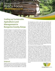
Agricultural landscapes must provide food, fiber and energy to
a growing population in a changing climate, while potentially
serving as instruments for climate change mitigation. Agriculture
is the backbone of the Kenyan economy, contributing approximately
25% of the GDP annually and employing more than 75%
of the population (The Government of Kenya 2010). The development
of agriculture is also important for poverty reduction since
most of the vulnerable groups, like pastoralists, the landless, and
Using family balance (i.e., combined net farm and non-farm incomes less family expenses), an output from an integrated model, which couples water resource, agronomic and socio-economic models, its sensitivity and uncertainty are evaluated for five smallholder farming groups (AeE) in the Olifants Basin. The crop management practiced included conventional rainfed, untied ridges, planting basins and supplemental irrigation.