Pasar al contenido principal

page search

Displaying 1 - 10 of 10

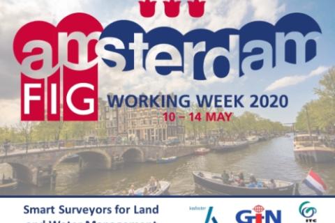
Proceedings of the FIG 2020 Working Week: Smart surveyors for land and water management

10 Mayo 2020 - 14 Mayo 2020
RAI Amsterdam
Europaplein 24
Amsterdam
Netherlands

Due to the current COVID-19 situation, FIG Working Week 2020 has been cancelled. However, the programme, all abstracts and both peer review and regular papers have been published in the FIG 2020 Working Week website. There might be some online webinars/meetings, which will be informed in the event website.

International Federation of Surveyors (FIG)
Kadaster International
Faculty of Geo-Information Science and Earth Observation
Geo-Informatie Nederland

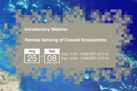
Remote Sensing of Coastal Ecosystems

25 Agosto 2020 - 08 Septiembre 2020

Coastal and marine ecosystems serve key roles for carbon storage, nutrients and materials cycling, as well as reservoirs of biodiversity. They also provide ecosystems services such as sustenance for millions of people, coastal protection against wave action, and recreational activities. Remote sensing of coastal and marine ecosystems is particularly challenging.

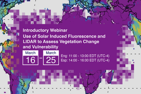
Use of Solar Induced Fluorescence and LIDAR to Assess Vegetation Change and Vulnerability

16 Marzo 2021 - 25 Marzo 2021

This introductory webinar series will cover the fundamentals of Solar Induced Fluorescence (SIF) and LIDAR, their applications, and an overview of different satellite data sources that are openly available. In addition, it will also include a step-by-step guide on how to access, open, and interpret SIF and LIDAR data.

Remote Sensing for Measuring Urban Heat Islands and Constructing Heat Vulnerability Indices

02 Agosto 2022 - 11 Agosto 2022

Structures such as buildings, roads, and other infrastructure absorb and re-emit the sun’s heat more than natural landscapes such as forests and water bodies. Urban areas, where these structures are highly concentrated and greenery is limited, become “islands” of higher temperatures relative to outlying areas.

Copernicus Land User Event

17 Noviembre 2022 - 18 Noviembre 2022
Bedford Hotel & Congress Centre
Rue du Midi 135,1000 Bruxelles
Belgium

Copernicus Land User Event - Register now!

European and global land surface applications

Copernicus Land Monitoring Service

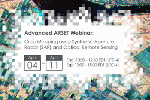
Crop Mapping using Synthetic Aperture Radar (SAR) and Optical Remote Sensing

03 Abril 2023 - 12 Abril 2023

NASA’s Applied Remote Sensing Training Program (ARSET) has opened a new online advanced webinar series: Crop Mapping using Synthetic Aperture Radar (SAR) and Optical Remote Sensing. This three-part training, presented in English and Spanish, is open to the public and builds on previous ARSET agricultural trainings. Here we present more advanced radar remote sensing techniques using polarimetry and a canopy structure dynamic model to monitor crop growth. The training will also cover methods that use machine learning methods to classify crop type using a time series of Sentinel-1 & Sentinel-2 imagery. This series will include practical exercises using the Sentinel Application Platform (SNAP) and Python code written in Python Jupyter Notebooks, a web-based interactive development environment for scientific computing and machine learning.

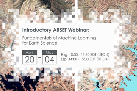
Fundamentals of Machine Learning for Earth Science

19 Abril 2023 - 03 Mayo 2023

NASA’s Applied Remote Sensing Training Program (ARSET) has opened a new online introductory webinar series: Fundamentals of Machine Learning for Earth Science. This three-part training, presented in English and Spanish, is open to the public and will provide attendees an overview of machine learning in regards to Earth Science, and how to apply these algorithms and techniques to remote sensing data in a meaningful way. Attendees will also be provided with end-to-end case study examples for generating a simple random forest model for land cover classification from optical remote sensing. We will also present additional case studies to apply the presented workflows using additional NASA data.


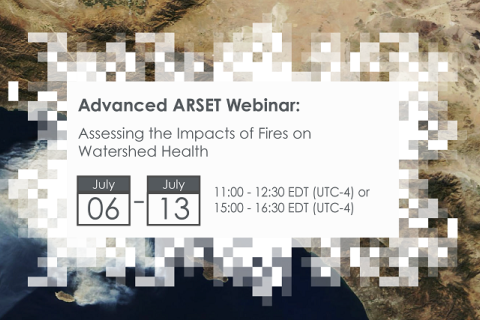
Assessing the Impacts of Fires on Watershed Health

05 Julio 2023 - 12 Julio 2023

NASA’s Applied Remote Sensing Training Program (ARSET) has opened a new open, online webinar series: Assessing the Impacts of Fires on Watershed Health. This advanced-level, three-part training will focus on using remote sensing observations for monitoring post-fire impacts on watershed health. Specifically, this training will highlight uses of NASA Earth observations (EO) for pre-fire land cover mapping, watershed delineation and stream mapping, post-fire burn severity mapping, and pre- and post-fire riverine and freshwater water quality.

Large Scale Applications of Machine Learning using Remote Sensing for Building Agriculture Solutions

04 Marzo 2024 - 18 Marzo 2024

NASA’s Applied Remote Sensing Training Program (ARSET) has opened a new open, online webinar series: Large Scale Applications of Machine Learning using Remote Sensing for Building Agriculture Solutions. Remote sensing data is becoming crucial to solve some of the most important environmental problems, especially pertaining to agricultural applications and food security. Participants will become familiar with data format and quality considerations, tools, and techniques to process remote sensing imagery at large scale from publicly available satellite sources, using cloud tools such as AWS S3, Databricks, and Parquet. Additionally, participants will learn how to analyze and train machine learning models for classification using this large source of data to solve environmental problems with a focus on agriculture.