Pasar al contenido principal

page search

Displaying 1 - 8 of 8

KOSMOS-Workshop: Post-conflict scenarios of land use in Colombia

25 Junio 2019
HU Geography Department -- Erwin Schrödinger-Zentrum, Raum 0'310
Rudower Chaussee 26
Berlin
Germany

Given the uncertainties generated after the peace agreements in Colombia, we believe that understanding and studying the most relevant transformation agents and potential socio-ecological pathways into the future is a key step to develop pro-active management strategies.

Taller: "Resistir y exigir la tierra, los territorios y la soberanía de los pueblos"

30 Junio 2020

Este taller, organizado por la Red de la Soberanía de los Pueblos, tiene por objeto compartir las experiencias de activistas de movimientos sociales y de la sociedad civil de diferentes regiones del mundo que luchan por defender sus derechos y la soberanía sobre sus territorios y sus vidas.

People’s Sovereignty Network

P 26: LANDS OF THE FUTURE – FUTUREMAKING WITH PASTORALISTS IN AFRICA

08 Junio 2021

Positive futuremaking starts when space, time and land with its inhabitants are brought and thought together, when diverse forms of life on, with and off the land can be accepted as valid elements of futuremaking; when unnecessary distinctions among livelihoods and forms of existence are overcome; and when all members of society are trusted to cooperate to build states on peaceful terms.

Copernicus Land User Event

17 Noviembre 2022 - 18 Noviembre 2022
Bedford Hotel & Congress Centre
Rue du Midi 135,1000 Bruxelles
Belgium

Copernicus Land User Event - Register now!

European and global land surface applications

Copernicus Land Monitoring Service

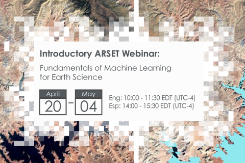
Fundamentals of Machine Learning for Earth Science

19 Abril 2023 - 03 Mayo 2023

NASA’s Applied Remote Sensing Training Program (ARSET) has opened a new online introductory webinar series: Fundamentals of Machine Learning for Earth Science. This three-part training, presented in English and Spanish, is open to the public and will provide attendees an overview of machine learning in regards to Earth Science, and how to apply these algorithms and techniques to remote sensing data in a meaningful way. Attendees will also be provided with end-to-end case study examples for generating a simple random forest model for land cover classification from optical remote sensing. We will also present additional case studies to apply the presented workflows using additional NASA data.