Pasar al contenido principal

page search

Displaying 205 - 216 of 586

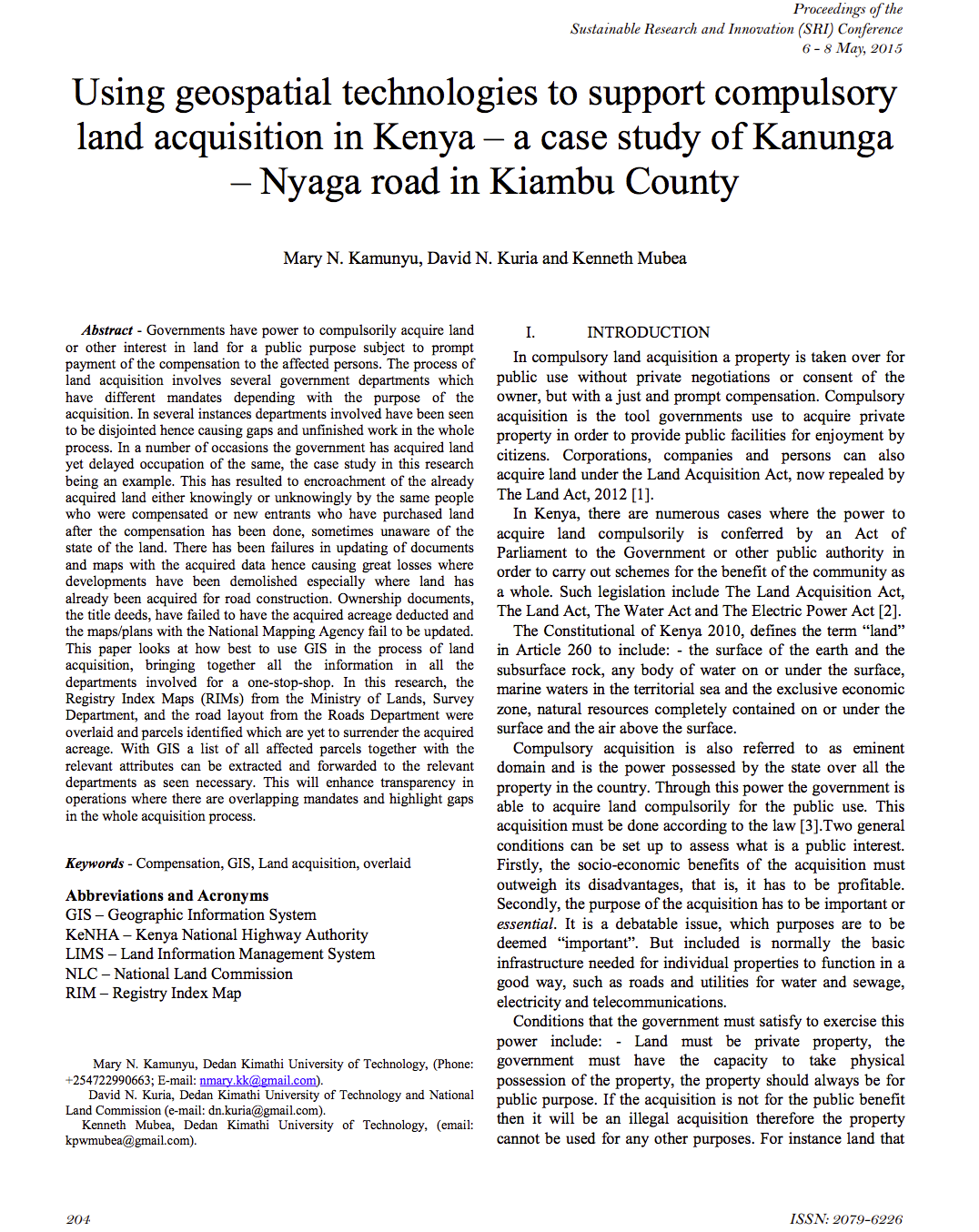
Using geospatial technologies to support compulsory land acquisition in Kenya

Journal Articles & Books
Abril, 2015
Kenya

Governments have power to compulsorily acquire land or other interest in land for a public purpose subject to prompt payment of the compensation to the affected persons. The process of land acquisition involves several government departments which have different mandates depending with the purpose of the acquisition. In several instances departments involved have been seen to be disjointed hence causing gaps and unfinished work in the whole process.

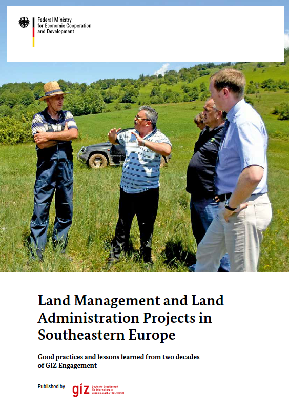
Land Management and Land Administration Projects in Southeastern Europe

Institutional & promotional materials
Reports & Research
Abril, 2015
Bosnia and Herzegovina
Georgia
Montenegro
Serbia

After the collapse of the former Soviet Union and the end of the latest Balkan wars, countries in Southeastern Europe had to reorganize their land management and land administration systems. Whereas in the Caucasus region privatization and first property registration were the main challenges, in the former Republic of Yugoslavia, essential objectives were the return of collectivized, confiscated property through restitution or (re)distribution, as well as the updating and harmonization of traditional land registry and cadaster systems and their conversion to modern systems.

High-Precision Land-Cover-Land-Use GIS Mapping and Land Availability and Suitability Analysis for Grass Biomass Production in the Aroostook River Valley, Maine, USA

Peer-reviewed publication
Marzo, 2015

High-precision land-cover-land-use GIS mapping was performed in four major townships in Maine’s Aroostook River Valley, using on-screen digitization and direct interpretation of very high spatial resolution satellite multispectral imagery (15–60 cm) and high spatial resolution LiDAR data (2 m) and the field mapping method. The project not only provides the first-ever high-precision land-use maps for northern Maine, but it also yields accurate hectarage estimates of different land-use types, in particular grassland, defined as fallow land, pasture, and hay field.

Detection of Shoreline and Land Cover Changes around Rosetta Promontory, Egypt, Based on Remote Sensing Analysis

Peer-reviewed publication
Marzo, 2015

Rosetta Promontory, Egypt has been suffering from a continuous erosion problem. The dramatic retreatment was observed during the last century. It is basically due to the construction of Aswan High Dam in 1964, which reduced the flow and sediment discharges. In this paper, four Landsat images (two Thematic Mapper and two Enhanced Thematic Mapper) covering the period from 1984 to 2014 were used.

Considerations on the public availability and application of time-series land use data of the Tohoku tsunami damage regions

Journal Articles & Books
Marzo, 2015
Japan

The Japanese public now has access to vast amounts of geographical information produced by many government agencies and media outlets on the tsunami caused by the Great East Japan Earthquake. Many maps and images not only inform the public about the tsunami damage area, but potentially help the public and policy makers understand the landscape damaged by the tsunami, and plan reconstruction. However, large amounts of publically available data still remain underutilized.

Good Policies and Practices on Rural Transport in Africa : Monitoring and Evaluation

Marzo, 2015

This publication is part of a series
aimed at promoting good policies and practices on rural
transport in Africa. A recent review of the status of Rural
Transport Knowledge Products and Practice (Riverson, 2012)
identified a number of knowledge gaps and recommended the
production of working papers to address these. One of these
gaps was the absence of robust tools, including relevant
indicators and instruments, to measure the impact of rural

Handbook on Land Laws

Legislation & Policies
Legislation
National Policies
Febrero, 2015
Kenya

The Land Act, 2012

The Land Registration Act, 2012

The National Land Commission Act, 2012

The Environment & Land Court Act, 2011

The Urban Areas & Cities Act, 2011

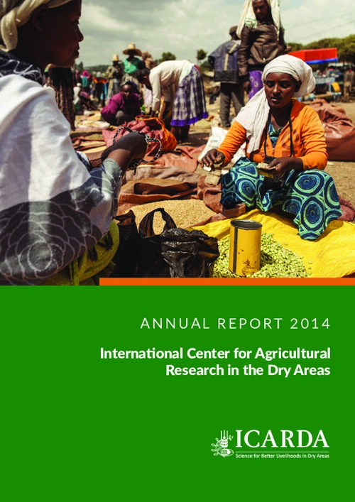
ICARDA Annual Report 2014

Reports & Research
Enero, 2015
Global

2014 went on record as the hottest year ever measured, a telling sign that climate change is already here. The agriculture sector is predicted to take the heaviest toll, with the hardest hit being smallholder farmers in developing countries, particularly in dry areas. With rising temperatures and greater stress on water resources, agricultural productivity is set to experience a substantial decline. Yet against these odds, we need to produce progressively more to feed a rapidly growing world population.