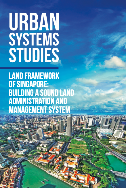
Land Framework of Singapore
Long-term planning and an efficient system of land administration and management have played a critical role in Singapore’s transformation from a colonial port to highly liveable global city.
In the effort to achieve the Sustainable Development Goals (SDGs) related to food, health, water, and climate, an increase in pressure on land is highly likely. To avoid further land degradation and promote land restoration, multifunctional use of land is needed within the boundaries of the soil-water system. In addition, awareness-raising, a change in stakeholders’ attitudes, and a change in economics are essential. The attainment of a balance between the economy, society, and the biosphere calls for a holistic approach.
More than 80 percent Canadians live in cities with almost one-quarter of country’s total population living in the Greater Golden Horseshoe (GGH) area. The GGH stretches in a curve around the western side of Lake Ontario with the City of Toronto occupying the northern side of the horseshoe. The GGH is an area of high potential food production as well as rapid population growth creating a mix of difficult to reconcile, opposing demands. For example, the need for housing and residential infrastructure conflicts directly with the need to preserve prime agricultural lands.
Background: The Himalayan country of Bhutan is typically an agrarian country with about 57% of the people depending on agriculture. However, farming has been constrained by the mountainous topography and rapid changes in environmental variabilities. With climate change, agricultural production and food security is likely to face one of the biggest challenges of the twenty-first century.
قامت منظمة الأغذية والزراعة بوضع " نُظُم التراث الزراعي ذات الأهمية العالمية" للمساعدة في صون نُظُم الزراعة التقليدية البارزة وإدارتها إدارة متكيفة. وتعتمد هذه النُظُم على الممارسات الزراعية التي تعود إلى قرون والمعارف المتراكمة على مدى قرون للتكيف مع السمات الفريدة للمناظر الطبيعية المحلية وإنشاء نُظُم بيئية غنية بالتنوع البيولوجي والمرونة وذات طابع مميز.
The Land Resources Planning (LRP) is a free accessible online “global knowledge hub” for a range of stakeholders and provides technical information on tools and approaches to assist decision makers at different levels to tackle obstacles at policy level and to facilitate the implementation of viable solutions on the ground.
Durante siglos, los agricultores, pastores, pescadores y silvicultores han desarrollado sistemas agrícolas diversos y adaptados localmente, y los han gestionado con técnicas y prácticas ingeniosas que han perfeccionado con el paso de los años. Han sido los responsables de aportar a la humanidad una combinación esencial de servicios sociales, culturales, ecológicos y económicos. Estos "Sistemas Importantes del Patrimonio Agrícola Mundial" (SIPAM) son paisajes estéticamente impresionantes que combinan la biodiversidad agrícola con ecosistemas resilientes y un valioso patrimonio cultural.
Pendant des siècles, les agriculteurs, éleveurs, pêcheurs et sylviculteurs ont développé des systèmes agricoles diversifiés, adaptés à leurs conditions locales, en employant des techniques et des pratiques ingénieuses, éprouvées au fil du temps, afin de fournir un ensemble vital de services sociaux, culturels, écologiques et économiques à l'humanité. Ces «Systèmes ingénieux du patrimoine agricole mondial» (SIPAM) sont des paysages d'une beauté remarquable associant la biodiversité agricole à des écosystèmes résilients et à un précieux patrimoine culturel.
Pedestrian zones are public spaces intended for the continued and safe mobility of pedestrians and people with disabilities, and they provide multiple benefits to urban areas. They counterbalance the densely built-up areas, decrease atmospheric pollution, increase available green or social space, increase walking and cycling rates, and facilitate active play for children. Done properly, pedestrianization may also increase local business sales. Greece boasts open public spaces and the pedestrianization of common roads.
Urban ecosystem services (ES) contribute to the compensation of negative effects caused by cities by means of, for example, reducing air pollution and providing cooling effects during the summer time. In this study, an approach is described that combines the regional biotope and land use data set, hemeroby and the accessibility of open space in order to assess the provision of urban ES. Hemeroby expresses the degree of naturalness of land use types and, therefore, provides a differentiated assessment of urban ES.
The geological, geomorphic conditions of a mountainous environment along with precipitation and human activities influence landslide occurrences. In many cases, their relation to landslide events is not well defined. The scope of the present study is to identify the influence of physical and anthropogenic factors in landslide activity. The study area is a mountainous part of the northern Peloponnesus in southern Greece.