Pasar al contenido principal

page search

Displaying 505 - 516 of 1711

Land

Reports & Research
Training Resources & Tools
Diciembre, 2017
Filipinas
Asia oriental
Oceanía

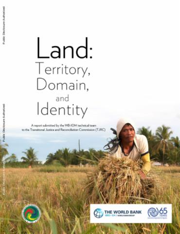
It is acknowledged that conflict over land is a major source of violence in various parts of Mindanao, particularly the prosed Bangsamoro region. Historical accounts trace the root cause of land issues and identity-based conflict to the introduction of the Regalian doctrine of land ownership by Spanish colonizers. During the American colonial regime at the turn of the 20th century, dispossession of land held by the original inhabitants of Mindanao accelerated, with an emphasis of titling lands for private ownership that clashed with the tradition of ancestral domain.

Land Consolidation for Sub-Saharan Africa’s Customary Lands: The Need for Responsible Approaches

Journal Articles & Books
Diciembre, 2017

This paper explores the potential of land consolidation for dealing with land fragmentation in Sub-Saharan Africa’s (SSA) rural customary lands – where the intention is to increase food productivity. In SSA’s customary lands, the use of mechanized farming technology and intensive farming techniques have largely failed to increase food productivity. This is despite foreign investment and the interest of the farmers to do so. In many cases, neither the farm parcel structure nor the land tenure arrangements support the use of, or investment in, mechanized equipment.

INTERLIS Language for Modelling Legal 3D Spaces and Physical 3D Objects by Including Formalized Implementable Constraints and Meaningful Code Lists

Journal Articles & Books
Diciembre, 2017

The Land Administration Domain Model (LADM) is one of the first ISO spatial domain standards, and has been proven one of the best candidates for unambiguously representing 3D Rights, Restrictions and Responsibilities. Consequently, multiple LADM-based country profile implementations have been developed since the approval of LADM as an ISO standard; however, there is still a gap for technical implementations. This paper summarizes LADM implementation approaches distilled from relevant publications available to date.

Baltic surveying. Proceedings of International Scientific Methodical Conference ''Baltic Surveying '17'' (Electronic resource)

Conference Papers & Reports
Diciembre, 2017
Estonia
Lithuania
Spain
Hungary
Moldova
Ukraine
Belarus
Poland
Latvia
Russia
Kazakhstan
Romania

Proceedings of international scientific - methodical conference “Baltic Surveying’17” are periodical edition of scientific articles, issued as online (ISSN 2243-6944) edition. The periodicity of proceedings is one volume per year. Conference was held on the 10 - 12 of May, 2017 at the Latvia University of Agriculture, Jelgava, it was organized by the Department of Land Management and Geodesy. Authors of the papers are teachers, researchers and practising professionals from Belarus, Estonia, Hungary, Kazakhstan, Lithuania, Moldova, Poland, Romania, Russia, Spain, Ukraine and Latvia.

Inventory of land as the forming tool for the state land cadastre of Ukraine in modern conditions

Multimedia
Diciembre, 2017
Latvia
Ukraine

One of the primary measures of the land reform is to create the national land registry and related land information database, which can be formed only through a complete inventory of land. This article analyses land inventory data in the current stage of land cadastre functioning and development of land relations, as well as discusses justification of organizational and legislative preconditions for land inventory in Ukraine.

Assessing potential land suitable for surface irrigation using groundwater in Ethiopia

Journal Articles & Books
Diciembre, 2017
Ethiopia

Although Ethiopia has abundant land for irrigation, only a fraction of its potential land is being utilized. This study evaluates suitability of lands for irrigation using groundwater in Ethiopia using GIS-based Multi-Criteria Evaluation (MCE) techniques in order to enhance the country's agricultural industry. Key factors that significantly affect irrigation suitability evaluated in this study include physical land features (land use, soil, and slope), climate (rainfall and evapotranspiration), and market access (proximity to roads and access to market).

Compte rendu de la réunion du Comité directeur de l’Initiative sur les politiques foncières tenue le 5 avril 2017: projet

Reports & Research
Diciembre, 2017
Africa

Les principaux résultats produits au cours de la période considérée dans le présent compte rendu ont inclus la prestation de services dans le cadre du dialogue politique de haut niveau et l’organisation de manifestations parallèles et de séances d’apprentissage sur les questions foncières et les conflits.

Guidelines for the development of curricula on land governance in Africa

Policy Papers & Briefs
Diciembre, 2017
Africa

The Guidelines for the Development of Curricula on Land Governance in Africa support the implementation of the AU Declaration on land issues and Challenges in Africa, in particular the call for Member States to, “Build adequate human, financial, technical capacities to support land policy development and implementation”.

Overview of the Croatian Land Administration System and the possibilities for its upgrade to 3D by existing data

Journal Articles & Books
Diciembre, 2017

This paper explores the laws and other legal acts related to the Croatian 3D cadastre with an emphasis on those which relate to interests in strata, spatial planning, and other regulations that are valid or were valid on Croatian territory. The effects of the application of these regulations on the present situation of registration in cadastre and land register were considered. This paper also explores current legal, institutional, and technical solutions implemented in the Croatian Land Administration System and the possibilities for its upgrade to 3D cadastre.

Rural Land Management in Bangladesh

Peer-reviewed publication
Noviembre, 2017
Bangladesh

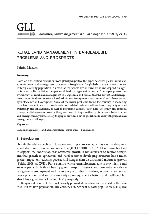
Based on a theoretical discussion from global perspective the paper describes present rural land administration and management structure in Bangladesh. Bangladesh is a land scarce country with high-density population. As most of the people live in rural areas and depend on agriculture and allied activities, proper rural land management is crucial. The paper presents an overall view of rural land management in Bangladesh and reveals that the current land management system is almost obsolete. Land administration system is conventional and characterised by inefficiency and corruption.