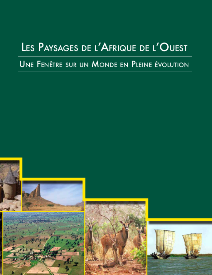
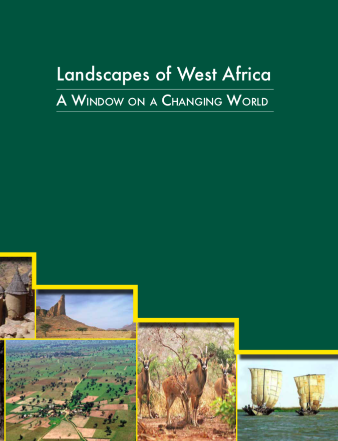
Landscapes of West Africa
Reports & Research
Noviembre, 2016
Western Africa
Landscapes of West Africa, A Window on a Changing World presents a vivid picture of the changing natural environment of West Africa. Using images collected by satellites orbiting hundreds of miles above the Earth, a story of four decades of accelerating environmental change is told. Widely varied landscapes — some changing and some unchanged — are revealing the interdependence and interactions between the people of West Africa and the land that sustains them.