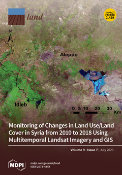
Forest conversion to agriculture can induce the loss of hydrologic functions linked to infiltration. Infiltration-friendly agroforestry land uses minimize this loss. Our assessment of forest-derived land uses in the Rejoso Watershed on the slopes of the Bromo volcano in East Java (Indonesia)…
Community-based natural resource management (CBNRM) has grown in stature as a key component of many national natural resource and rural development governance systems. Despite their growth, the integrity of CBNRM governance systems has rarely been analysed in a national context. To enhance…
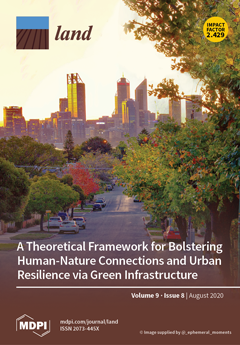
For two decades, increasing concerns about urban sustainability have driven Australian metropolitan planning efforts to call for fundamental changes to existing urban forms. These changes are intended to develop more compact cities characterised by a poly-nodal network of dense activity centres…
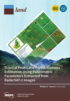
The ongoing global deforestation resulting from anthropogenic activities such as unsustainable agriculture and surface mining threatens biodiversity and decreases both soil carbon and above-ground biomass stocks. In this study, we assessed soil properties and below- and above-ground biomass…
The Mediterranean Basin is at the same time a region of stark social and ecological contrasts and a global biodiversity hotspot, where complex local evolving land use and land cover patterns compose the region’s landscapes. In this context, we aimed for a specific case study of the southeast of…
Globally, the agricultural sector is facing many challenges in response to climate change, unsustainable farming practices and human population growth. Despite advances in technology and innovation in agriculture, governments around the world are recognizing a need for transformative…
The research on wind regimes and the wind protection mechanism of sand-fixing plants has mainly relied on wind tunnel experiments; few observations have been made in the field. At the same time, airflow around individual standing vegetation elements and communities is relatively lacking in…
This opinion paper discusses urban lawns, the most common part of open green spaces and urban green infrastructures. It highlights both the ecosystem services and also disservices provided by urban lawns based on the authors’ experience of working within interdisciplinary research projects on…
Land degradation is a global issue receiving much attention currently. In order to objectively reveal the research situation of land degradation, bibliometrix and biblioshiny software packages have been used to conduct data mining and quantitative analysis on research papers in the fields of…
Decisions about urban forests are critical to urban liveability and resilience. This study aimed to evaluate the range of positions held by urban forest managers from local governments in the state of Victoria, Australia, regarding the management and governance challenges that affect their…
Environmental economists routinely use travel cost methods to value recreational services from protected areas, but a number of limitations remain. First, most travel cost studies focus on a single protected area or a small handful of protected area sites; value estimates that relate to a…
Agricultural land uses can contribute to land degradation, water quality decline, and loss of ecosystem function and biodiversity in the surrounding catchment. Trees can assist in catchment management, and re-afforestation strategies have been implemented in an effort to mitigate agricultural…


