About Springer
Throughout the world, we provide scientific and professional communities with superior specialist information – produced by authors and colleagues across cultures in a nurtured collegial atmosphere of which we are justifiably proud.
We foster communication among our customers – researchers, students and professionals – enabling them to work more efficiently, thereby advancing knowledge and learning. Our dynamic growth allows us to invest continually all over the world.
We think ahead, move fast and promote change: creative business models, inventive products, and mutually beneficial international partnerships have established us as a trusted supplier and pioneer in the information age.
Members:
Resources
Displaying 1131 - 1135 of 1195Land Reform in Tajikistan
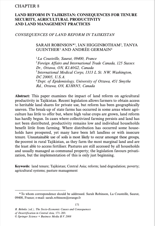
This paper examines the impact of land reform on agricultural productivity in Tajikistan. Recent legislation allows farmers to obtain access to heritable land shares for private use, but reform has been geographically uneven. The break-up of state farms has occurred in some areas where agriculture has little to offer but, where high value crops are grown, land reform has hardly begun. In cases where collectivized farming persists and land has not been distributed, productivity remains low and individual households benefit little from farming.
Spatial pattern of Karst rock desertification in the Middle of Guizhou Province, Southwestern China
Karst rocky desertification is a typical type of land degradation in the Southwestern China. It has great ecological and economical implications for the local people. Landsat images from the middle of Guizhou Province collected in 1974, 1993 and 2001 were used for change detection of the pattern of Karst rocky desertification. The results show the following findings: (1) Desertification area expanded drastically in 27 years, at an increasing rate about 116.2 km²/year. (2) High areas (900-1,500 m) are the most affected.
Labile nitrogen, carbon, and phosphorus pools and nitrogen mineralization and immobilization rates at low temperatures in seasonally snow-covered soils
Surface mineral horizons from four ecosystems sampled in the northwestern Italian Alps were incubated at -3 and +3°C to simulate subnivial and early thaw period temperatures for a seasonally snow-covered area. The soil profiles at these sites represent extreme examples of management, grazed meadow (site M) and extensive grazing beneath larch (site L) or naturally disturbed by avalanche and colonized by alder (site A) and the expected forest climax vegetation beneath fir (site F).
Neutral models for testing landscape hypotheses
Neutral landscape models were originally developed to test the hypothesis that human-induced fragmentation produces patterns distinctly different from those associated with random processes. Other uses for neutral models have become apparent, including the development and testing of landscape metrics to characterize landscape pattern. Although metric development proved to be significant, the focus on metrics obscured the need for iterative hypothesis testing fundamental to the advancement of the discipline.
Multi-criteria evaluation approach to GIS-based land-suitability classification for tilapia farming in Bangladesh
Site selection is a key factor in any aquaculture operation, because it affects both success and sustainability. It can, moreover, solve conflicts between different activities, making rational use of the land. This study was conducted to identify suitable sites for development of Nile tilapia (Oreochromis niloticus) farming in Sitakunda Upazila (sub-district), Bangladesh, using GIS-based multi-criteria evaluation of water and soil quality, topography, infrastructure and socio-economic factors.


