Topics and Regions
GIS Analyst and Training Coordinator for NASA's Applied Remote Sensing Training Program (ARSET)
Research and training on satellite remote sensing for air quality, hydrology and ecosystem monitoring.
Details
Location
Contributions
Displaying 11 - 20 of 45Biodiversity Applications for Airborne Imaging Systems
NASA’s Applied Remote Sensing Training Program (ARSET) opened a new open, online intermediate webinar series: Biodiversity Applications for Airborne Imaging Systems. This four-part webinar series will focus on NASA Earth Observations (EO) that can be used characterize the structure and function of ecosystems and to measure and monitor terrestrial and aquatic biodiversity.
Connecting Citizen Science with Remote Sensing
NASA’s Applied Remote Sensing Training Program (ARSET) has opened a new open, online introductory webinar series: Connecting Citizen Science with Remote Sensing. This 3-part training, delivered in English and Spanish, will provide attendees an overview of citizen science efforts that use Earth Observations combined with ground-based information in the fields of climate change, sustainable development, ecosystem monitoring and characterization, drought, and land cover or land-use change, and will highlight case-study examples of successful citizen science projects, with some examples from NASA supported projects and activities.
Disaster Assessment Using Synthetic Aperture Radar
This webinar will focus on assess areas at risk from disasters due to landslides; characterize the extent and impacts of oil spills;and characterizing inundation extent.
Selecting Climate Change Projection Sets for Mitigation, Adaptation, and Risk Management Applications
This two-part webinar series will provide an overview of resources for choosing climate projection sets for mitigation, adaptation, and risk management applications.
Monitoring and Modeling Floods using Earth Observations
Recent studies have shown that globally, riverine and coastal floods are increasing in intensity and duration. In addition, the number of people living in flood-prone areas has increased substantially during the last two decades.
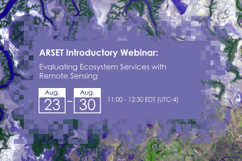
Evaluating Ecosystem Services with Remote Sensing
Healthy ecosystems provide essential pieces of daily life for humans such as clean water, food, medicines, carbon sequestration, protection against extreme weather, and much more. Natural capital accounting recognizes that these assets must be maintained, managed, and measured for critical decision-making activities.
Remote Sensing for Measuring Urban Heat Islands and Constructing Heat Vulnerability Indices
Structures such as buildings, roads, and other infrastructure absorb and re-emit the sun’s heat more than natural landscapes such as forests and water bodies. Urban areas, where these structures are highly concentrated and greenery is limited, become “islands” of higher temperatures relative to outlying areas.
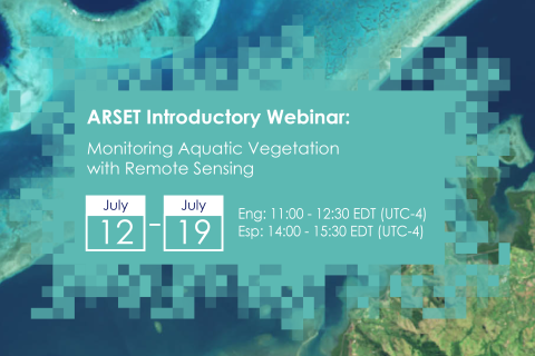
Monitoring Aquatic Vegetation with Remote Sensing
Aquatic vegetation (AV) provides a habitat for numerous small invertebrate and fish species. Kelp forests, for example, are the dominant coastal ecosystem in temperate waters. The presence of AV in coastal waters is a normal occurrence, as it is an important component of the natural marine environment.
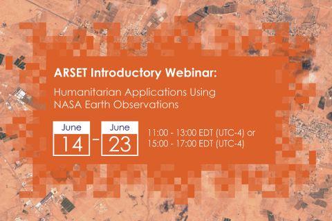
Humanitarian Applications Using NASA Earth Observations
Conflict, war, and forced displacement affect millions of people each year and have immediate and long-term consequences for human health and development, in addition to causing the degradation of natural and managed landscapes.
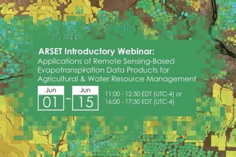
Applications of Remote Sensing-Based Evapotranspiration Data Products for Agricultural and Water Resource Management
Evapotranspiration (ET) is the process by which the land surface returns water to the atmosphere in the form of moisture. ET is a very important part of the water cycle in the Earth system. It is the sum of evaporation from bare soil and transpiration from vegetation. For a given watershed, the supply of water from precipitation, surface and groundwater can be depleted via ET.

