cadastro predial related Event | Land Portal
Existem 173 itens de conteúdo relacionados a cadastro predial no Land Portal.
Transformando a África em uma potência do futuro
22 Junho 2023
África
África subsariana
África austral

Este webinário tem como objetivo desenvolver o potencial de pesquisadores(as) e profissionais de toda a África para entender melhor as abordagens sustentáveis da governança de dados fundiários. O webinário destacará a importância da boa governança de dados fundiários para melhorar os direitos de propriedade e permitir serviços governamentais mais eficientes.

Organizers: 
Land Portal Foundation
German Federal Ministry for Economic Cooperation and Development
Deutsche Gesellschaft für Internationale Zusammenarbeit (GIZ) GmbH
The Network of Excellence on Land Governance in Africa
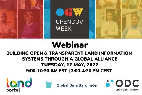
OGP WEBINAR
17 Maio 2022
Global

O Land Portal, o Global Data Barometer e o Open Data Charter estão trabalhando em conjunto no conjunto de dados abertos e governança fundiária. 

Organizers: 
Land Portal Foundation
Open Data Charter
Global Data Barometer
6 Maio 2018 to 11 Maio 2018

Localização

Istanbul
Turquia
TR
Turquia
Global

Embracing our smart world  where the continents connect:
enhancing the geospatial  maturity of societies 

FIG Congress 2018 is an exciting week-long conference that brings the international community of surveying and spatial professionals together.

Organizers: 
International Federation of Surveyors (FIG)
Global Land Tool Network
United Nations Human Settlements Programme
29 Maio 2017 to 2 Junho 2017

Localização

Helsinki Exhibition & Convention Centre (HECC)
Messuaukio 1
00521 Helsinki
Finlândia
FI
Global

FIG Working Week, 29 May -  2 June 2017, Helsinki, Finland, is an exciting week-long conference that brings the international community of surveying and spatial professionals together to experience a mix of interesting plenary and technical sessions and workshops, a trade exhibition and a variety of side events and social functions.

Organizações

MOTTO

The Dedan Kimathi University of Technology motto is: “Better Life through Technology”.


VISION STATEMENT

To be a Premier Technological University Excelling in Quality Education, Research, and Technology Transfer for National Development.


MISSION STATEMENT

Geo-Informatie Nederland logo

GIN is an interactive meeting place and is an open knowledge network for everyone who is professionally involved with geographic information. GIN organizes activities and encourages and facilitates sharing and transferring knowledge of its members in development of all members and to strengthen the position of the field of geo-information in society.


The subsequent strategic goals are:


Norwegian Mapping Authority logo

The Norwegian Mapping Authority (NMA) is Norway's national mapping agency, dealing with land surveying, geodesy, hydrographic surveying, cadastre and cartography. Its headquarters are in Hønefoss and it is a public agency under the Ministry of Local Government and Modernisation. NMA was founded in 1773.


Source: Wikipedia (consulted d.d. February 18th, 2020)

Palestine Land Authority logo

The PLA established by presidential Decree No.10 of 2002 as a legal entity with its own budget , subordinate to the Council of Ministers , with the responsibility for both the Survey and Registration Departments.


Mandate:


  • Surveying department responsible for examining maps and plans prepared in connection with land adjudication process, partition, subdivision, first registration and other transaction;

Compartilhe esta página