Passar para o conteúdo principal

page search

Issuesuso da terraLandLibrary Resource
There are 9, 839 content items of different types and languages related to uso da terra on the Land Portal.

uso da terra

AGROVOC URI:

Displaying 2197 - 2208 of 4573

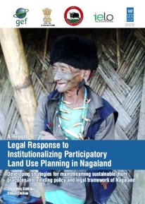
Legal Response to Institutionalizing Participatory Land Use Planning in Nagaland

Reports & Research
Julho, 2015
Índia

The report, prepared by the Indian Environment Law Offices, offers insights on mainstreaming Shifting Cultivation or Jhum through innovative interventions, such as Participatory Land Use Planning into policy, legal and institutional framework in Nagaland and help the state realize its full development potential.

Final Evaluation Report (Biodiversity Impact): Integrated Land and Ecosystem Management to Combat Land Degradation and Deforestation in Madhya Pradesh

Reports & Research
Março, 2016
Índia

The study assessed the biodiversity impact of the project supported by UNDP and the Government of Madhya Pradesh to support local communities in rehabilitating degraded forest, generating sustainable livelihoods and protecting the areas rich ecosystem. The project was supported by the Global Environment Facility.

A Gap analysis methodology for collecting crop genepools: a case study with Phaseolus Beans

Journal Articles & Books
Dezembro, 2010
México
América Central
América do Sul

Background:

The wild relatives of crops represent a major source of valuable traits for crop improvement. These resources are threatened by habitat destruction, land use changes, and other factors, requiring their urgent collection and long-term availability for research and breeding from ex situ collections. We propose a method to identify gaps in ex situ collections (i.e. gap analysis) of crop wild relatives as a means to guide efficient and effective collecting activities.

Methodology/Principal Findings:

A geographical information approach for stratifying tropical Latin America to identify research problems and opportunities in sustainable agriculture

Conference Papers & Reports
Dezembro, 1990
América Central
América do Sul

Over the last 12 years a data base of climate, soils and crop distribution has been assembled for Latin America. Recently, socio-economic variables such as access and populations density and environmental variables such as the location of national parks, biological reserves and indian reserves have been added. Formerly this information was used primarily to make decisions on commodity research.

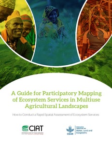
A Guide for participatory mapping of ecosystem services in multiuse agricultural landscapes: How to conduct a rapid spatial assessment of ecosystem services

Manuals & Guidelines
Novembro, 2016
África
África Oriental
Quênia
Malawi
Tanzania
Gana

This guide presents a step-by-step approach in using a participatory mapping method with community members to identify and map ecosystem services and changes in their supply across multiuse agricultural landscapes. Non-governmental organizations (NGOs), government agencies and researchers can use this approach to learn from communities about how they use and access natural resources.