Opportunités et défis d’une approche par les communs de la terre et des ressources qu’elle porte

Reports & Research
Agosto, 2017
Global
Date : 2017
Date : 2017
The present report is submitted pursuant to Security Council resolution 2349 (2017) of 31 March 2017, in which the Council requested the Secretary-General to produce a written report within five months on the assessment by the United Nations of the situation in the Lake Chad Basin. The report provides an update on the progress made and the challenges remaining and suggests measures for consideration relating to elements of the resolution.
This article seeks to investigate whether concern for food security and investment liberalization are the principle drivers of land-grabbing in Africa. The investigation demonstrates that, in addition to food security concern, climate change and energy security considerations have been key catalysts arousing hunger for farmland, forests, and fisheries resources in Africa.

မြနမ် ာနိငု ်င၏ံ
ရေရှညတ် ညတ် သံ့ ည့ ်
မြေယာအပု ခ် ျုပေ် ရးနှင့ ်
စီမခံ န့ခ် ွဲမစှု နစ်ဆသီ ိ့…ု .
မြေယာကဏ္ဍ၏ လိအု ပခ် ျကမ် ျားအပေါ် စစီ စအ် ကဲဖြတမ် ဆှု ိငု ရ် ာ
အကြောငး် အရာအလိကု ် မဝူ ါဒရေးရာမတှ စ် မု ျား
This policy note on Land Policy and Regulatory Framework in Myanmar is the first of five policy notes
prepared under the Land Sector Needs Assessment technical assistance initiative between the World Bank
and the Ministry of Agriculture, Livestock and Irrigation, the Ministry of Natural Resources and
Environmental Conservation and the General Administration Department of the Ministry of Home Affairs,
and the Yangon City Development Committee. It is intended to assess and inform the land related


Artigo - 3er Congreso Iberoamericano de Suelo Urbano, Curitiba, Brazil, agosto 2017 O presente artigo apresenta os resultados de um diálogo internacional[1], que mobilizou experiências de 12 países da ALC, contribuindo para uma análise regional sobre o tema. Primeiramente, aponta as evidências, causas e impactos decorrentes dos diferentes tipos de conflitos fundiários encontrados na região.
This article explores some of the realities of supporting income generation for displaced people in conflict settings, drawing on experiences in Kachin, northern Myanmar, suggesting development and humanitarian actors need to better acknowledge limitations and rethink our approaches.
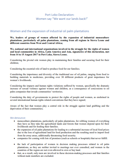
We, leaders of groups of women affected by the expansion of industrial monoculture plantations, particularly oil palm plantations, coming from all regions in Sierra Leone and different countries from West and Central Africa;
We, national and international organizations involved in the struggle for the rights of women and local communities in Africa, Latin America and Asia, signatories of this declaration, met from 14 to 15 August 2017 in Port Loko, Sierra Leone.

In this study, we compared pixel-based image analysis and object-based image analysis (OBIA) as methods of land cover classification of urban areas, using high resolution digital aerial photography. The study area was Setagaya Ward, Tokyo, Japan, and we carried out supervised classification using aerial photographs with 25-cm spatial resolution, and with both visible bands and a near infrared band. The overall accuracy of the object-based classification was approximately 6 to 20 percentage points higher than that of the pixel-based classification.
Yangon, the former capital of Myanmar, is the major economic areas of the country. Also, the urban areas have significantly increased. However, Yangon has problems with disasters such as flood and earthquake. To support disaster risk management in Yangon, Myanmar, the estimation of urban expansion is required to understand the mechanism of urban expansion and predict urban areas in the future. This research proposed a methodology to develop urban expansion modeling based the dynamic statistical model using Landsat Time-Series and GeoEye Images.