Passar para o conteúdo principal

page search

Displaying 589 - 600 of 2815

Use of cadastre data in cadastral assessment models

Policy Papers & Briefs
Dezembro, 2010
Letónia

In order to ensure operation of the Cadastre, the Cadastre information system is being maintained and improved. Cadastre text and spatial data regarding cadastre objects, which are located in the territory of Latvia, are registered and maintained in the Cadastre information system. In order to specify the value of particular cadastre object, four models of cadastral assessment are developed. These models provide cadastral assessment of all cadastre objects registered in the Cadastre information system.

Substantiation of methods for determination of agricultural crops productivity on reclaimed areas

Policy Papers & Briefs
Dezembro, 2010
Bielorrússia

To determine the agricultural crops productivity on reclaimed areas with the adjusted water regime it is offered to use the point estimation of ground fertility and standard report data on different areas actual productivity (ploughed field, hayfield, pasture). The dependence of crop yield level on the cadastral valuation of soils is analyzed in different districts of the Republic of Belarus. The production output from the one ball-hectare is measured. The mathematical formulas of the crop yield evaluation depending on the type of the soil are shown.

Upper Austria Geo-Data Infrastructure Law

Legislation
Dezembro, 2010
Áustria

The purpose of the present Law is to lay down rules aimed at the establishment of the infrastructure for spatial information in Upper Austria with a view to environmental policies and activities which may have an impact on the environment. The text consists of 20 articles divided into 7 Parts as follows: General provisions (1); Metadata, spatial data sets and spatial data services (2); Network services (3); Use of spatial data and spatial data services by competent authorities (4); Coordination and monitoring (5); Legal protection (6); Final provisions (7). Three Annexes are enclosed.

Spatial Information Act.

Legislation
Dezembro, 2010
Liechtenstein

The purpose of the present Act is to transpose into national legislation the Directive 2007/2/EC of the European Parliament and of the Council of 14 March 2007 establishing an Infrastructure for Spatial Information in the European Community (INSPIRE). Article 1 of the above-mentioned Act establishes that the present Act regulates the creation, maintenance and organization of a national spatial data infrastructure. In particular the Act aims to provide authorities, economy, science and the public with spatial information in a sustainable, up to date, quick and simple way.

Circulaire n° 621-10/MATD/SG/DGSF du 14 Décembre 2010 sur l’ouverture de Guichet Foncier.

Dezembro, 2010
Madagáscar

La présente circulaire définit l’instruction concernant la procédure à suivre en matière d’ouverture des Guichets Fonciers Communaux ou Intercommunaux.

Met en oeuvre: Loi n° 2005 - 019 fixant les principes régissant les statuts des terres. (2005-10-17)
Met en oeuvre: Loi n° 2006 - 031 fixant le régime juridique de la propriété foncière privée non titrée. (2006-11-24)
Met en oeuvre: Décret n°2007-1109 du 18 décembre 2007 portant application de la loi n°2006-031 du 24 novembre 2006, fixant le régime juridique de la propriété foncière privée non titrée. (2007-12-18)

Model of quality of cadastral map

Policy Papers & Briefs
Novembro, 2010
Letónia

Cadastral map in modern market economy in different fields is marketable product. Summarized on it digital geospatial data, obtained in cadastral survey, can be widely used by many users. These data are captured using different methods of cadastral surveying therefore they have different accuracy. Land parcel boundaries are updated in compliance with data of higher accuracy. Wherewith, assessment and improvement of quality of cadastral map is very actually.

Burgenland Geo-Data Infrastructure Law.

Legislation
Novembro, 2010
Áustria

The purpose of the present Law is to lay down rules aimed at the establishment of the infrastructure for spatial information in Burgenland with a view to environmental policies and activities which may have an impact on the environment. For the purpose of the present Law “Infrastructure for spatial information” means metadata, spatial data sets and spatial data services; network services and technologies; agreements on sharing, access and use.

Vienna Geo-Data Infrastructure Law.

Legislation
Agosto, 2010
Áustria

The purpose of the present Law is to lay down rules aimed at the establishment of the infrastructure for spatial information in Vienna and its surroundings with a view to environmental policies and activities which may have an impact on the environment. The text consists of 17 articles divided into 7 Parts as follows: General provisions (1); Metadata, spatial data sets and spatial data services (2); Network services (3); Use of spatial data and spatial data services by competent authorities (4); Coordination and monitoring (5); Legal protection (6); Final provisions (7).

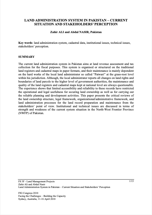
Land Administration System In Pakistan – Current Situation And Stakeholders’ Perception

Conference Papers & Reports
Março, 2010
Pakistan

The current land administration system in Pakistan aims at land revenue assessment and tax collection for the fiscal purposes. This system is organised or structured on the traditional land registers and cadastral maps in paper formats, and their maintenance is mainly dependent on the hard works of the local land administrator so called “Patwari” at the grass-root level within his jurisdiction.

Spatial Information Infrastructure Act.

Legislation
Fevereiro, 2010
Áustria

The purpose of the present Act is to establish a national spatial data infrastructure. The Act provides the legal framework for: 1) access to spatial data, spatial data and metadata services of spatial data holding agencies and 2) the use of such data and services, especially for measures which may have some impact on the environment.

The Social Tenure Domain Model: A pro poor land rights recording system

Training Resources & Tools
Dezembro, 2009

Most developing countries have less than 30 percent cadastral coverage. This means that over 70 percent of the land in many countries is generally outside the land register. This has caused enormous problems for example in cities, where over one billion people live in slums without proper water, sanitation, community facilities, security of tenure or quality of life. This has also caused problems for countries with regard to food security and rural land management issues.