Passar para o conteúdo principal

page search

Displaying 133 - 144 of 586

El boom de la maca, transformando paisajes y sociedades rurales de la zona altoandina.

Conference Papers & Reports
Agosto, 2017
Peru
South America

La maca (Lepidium meyenii) es una raíz andina a la cual se le atribuyen propiedades energéticas y estimulantes. En los últimos años el interés de mercados asiáticos dio lugar al “boom de la maca”, incrementando los precios y provocando la rápida conversión de pastizales altoandinos en tierras de cultivo, transformando de esta manera el paisaje, el ecosistema, la economía y la sociedad rural de la zona altoandina de Junín.

Sustainable recommendation domains for scaling agricultural technologies in Tanzania

Journal Articles & Books
Junho, 2017
Tanzania
Africa
Eastern Africa
Southern Africa

Low adoption of sustainable intensification technologies hinders achievement of their potential impacts on increasing agricultural productivity. Proper targeting of locations to scale-out particular technologies is a key determinant of the rate of adoption. Targeting locations with similar biophysical and socio-economic characteristics significantly increases the probability of adoption. Areas with similar biophysical and socio-economic characteristics are referred to as recommendation domains (RDs).

Sustainable recommendation domains for scaling agricultural technologies in Tanzania

Peer-reviewed publication
Junho, 2017
Tanzania

Low adoption of sustainable intensification technologies hinders achievement of their potential impacts on increasing agricultural productivity. Proper targeting of locations to scale-out particular technologies is a key determinant of the rate of adoption. Targeting locations with similar biophysical and socio-economic characteristics significantly increases the probability of adoption. Areas with similar biophysical and socio-economic characteristics are referred to as recommendation domains (RDs).

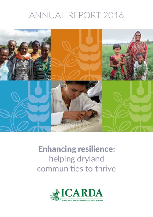
ICARDA Annual Report 2016

Reports & Research
Junho, 2017
Global

2016 was the hottest year on record – the third consecutive record-breaking year. It was a sign that we have to act fast to enhance the resilience of dryland farmers, who not only have to contend with more extreme temperatures but also face rapidly depleting water resources and the destructive effects of new pests and disease.

Automated cropland mapping of continental Africa using Google Earth Engine cloud computing

Journal Articles & Books
Abril, 2017
Africa

The automation of agricultural mapping using satellite-derived remotely sensed data remains a challenge in Africa because of the heterogeneous and fragmental landscape, complex crop cycles, and limited access to local knowledge. Currently, consistent, continent-wide routine cropland mapping of Africa does not exist, with most studies focused either on certain portions of the continent or at most a one-time effort at mapping the continent at coarse resolution remote sensing.

Multi-Criteria Assessment of Land Cover Dynamic Changes in Halgurd Sakran National Park (HSNP), Kurdistan Region of Iraq, Using Remote Sensing and GIS

Peer-reviewed publication
Março, 2017

Halgurd Sakran National Park (HSNP) is Iraq’s first designated national park, located in the Kurdistan Region, which has suffered multiple armed conflicts over the past decades. This study assesses how vegetation dynamics have affected the landscape structure and composition of the core zone of the park over the last 31 years. Spatio-temporal changes in land cover were mapped for three points in time using remote sensing, geographic information systems (GIS), and landscape metrics.

Logging, Mining, And Agricultural Concessions Data Transparency: A Survey Of 14 Forested Countries

Reports & Research
Fevereiro, 2017
Brasil
Cambodja
Canadá
Colômbia
República Democrática do Congo
Indonésia
Libéria
Madagáscar
Malásia
México
Myanmar
Papua-Nova Guiné
Peru
Rússia

Global demand for timber, agricultural commodities, and extractives is a significant driver of deforestation worldwide. Transparent land-concessions data for these large-scale commercial activities are essential to understand drivers of forest loss, monitor environmental impacts of ongoing activities, and ensure efficient and sustainable allocation of land.

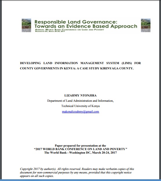
DEVELOPING LAND INFORMATION MANAGEMENT SYSTEM (LIMS) FOR COUNTY GOVERNMENTS IN KENYA: A CASE STUDY KIRINYAGA COUNTY.

Journal Articles & Books
Fevereiro, 2017
Quênia

This paper describes the development of a Land Information Management System (LIMS) for County Governments in Kenya. In the new Constitution 2010, devolution of some national government functions and formation of county governments was provided for. These invoked the development of new land laws to guide the devolution processes and procedures. According to the County Government Act 2012, all County Governments are supposed to develop digital Geographic Information System (GIS) based spatial plans and these calls for development of LIMS for and efficient breakthrough.

HCI-Evaluation of the GeoCitizen-reporting App for citizen participation in spatial planning and community management among members of marginalized communities in Cali, Colombia

Journal Articles & Books
Dezembro, 2016
Colômbia
América Central
América do Sul

Increasingly, geospatial web applications such as www.fixmystreet.com or www.seeclickfix.com are being integrated within citizen participation processes in spatial planning and the provision of communal services. Recently, several of these platforms have been launched in Latin America and other countries of the Global South.