Passar para o conteúdo principal

page search

Displaying 385 - 396 of 586

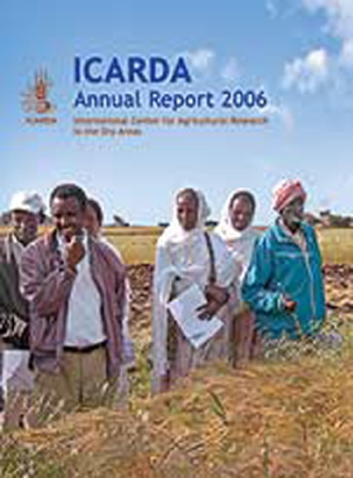
ICARDA Annual Report 2006

Reports & Research
Dezembro, 2007
Global

ICARDA witnessed several important developments in 2006. Of these, the Fifth External Program and Management Review (EPMR) was the most significant, as it provided a comprehensive assessment of the Center's global activities, as well as new insights and dimensions that helped refine ICARDA's new Strategic Plan for 2007- 2016. The EPMR coincided with a transition in the governance and leadership of ICARDA.

[Geographical information technologies (GIT): application to the dehesa areas of Extremadura [Spain]]

Conference Papers & Reports
Dezembro, 2006
Espanha

En los últimos años han sido incuantificables las aplicaciones que se han llevado a cabo mediante la utilización de las denominadas Tecnologías de la Información Geográfica, bien a través del empleo de los sistemas de información geográfica (SIG), bien mediante el manejo y el análisis de imágenes de satélite (Teledetección), o bien mediante la aplicación de técnicas estadísticas de análisis multivariantes.

An irrigated area map of the world (1999) derived from remote sensing

Reports & Research
Dezembro, 2006

This document summarizes the materials and methods used to create a series of maps of irrigated areas of the world using remote sensing approaches. These maps are complementary to existing statistics (FAO-Aquastat) and the GISderived maps (FAO/University of Frankfurt Global irrigated area map). The document also provides details of how the estimates of global irrigated areas in one main season (net) and more than one season (intensity or annualized) were derived.

Malaria mosquito resistance to agricultural insecticides: risk area mapping in Thailand

Reports & Research
Dezembro, 2006
Tailândia
Sudeste Asiático

The purpose of this study was to identify risk areas in Thailand where insecticide resistance in malaria mosquitoes might develop as a consequence of crop protection activities in agriculture. The study provides guidelines on how to delineate risk areas. A review of insecticide resistance in disease vectors and the potential role of agricultural insecticides is presented.

Using similarity analyses to scale out research findings across Andean watershed basins

Journal Articles & Books
Dezembro, 2006
América do Sul
América Central

Strategic research in agriculture and natural resources carried out by international research centers is deemed a public good and should, sooner or later, be put into the hands of development, governmental and non-governmental organizations. However, this research is usually done at specific pilot sites; there is a greater need to know how representative those sites are in relation to the diversity of contexts in other locations.

Sustainable agricultural intensification in forest frontier areas

Peer-reviewed publication
Dezembro, 2006
Sudeste Asiático
Ásia
Indonésia

"The Lore Lindu region in Indonesia—as in many forest frontier areas in Southeast Asia—has experienced rapid deforestation due to agricultural expansion in the uplands, at the forest margins. This has resulted in aggravated problems of erosion and water availability, threatening agricultural productivity growth. At the same time, technical progress is promoting agricultural intensification in the lowlands. In this article, we examine how improved technologies for paddy rice cultivation in the lowlands have affected agricultural expansion and deforestation in the uplands.

Seaborne measurements of near infrared water-leaving reflectance: The similarity spectrum for turbid waters.

Journal Articles & Books
Dezembro, 2006

Theory and seaborne measurements are presented for the near infrared (NIR: 700–900 nm) water-leaving reflectance in turbid waters. According to theory, the shape of the NIR spectrum is determined largely by pure water absorption and is thus almost invariant. A ‘‘similarity’’ NIR reflectance spectrum is defined by normalization at 780 nm. This spectrum is calculated from seaborne reflectance measurements and is compared with that derived from laboratory water absorption measurements. Factors influencing the shape of the similarity spectrum are analyzed