Passar para o conteúdo principal

page search

Displaying 193 - 204 of 342

Recreational potential of Kiev region

Peer-reviewed publication
Outubro, 2015

It analyzes the recreational potential of the territory of the Kiev region, which focuses on all types of land on the main intended purpose. The most favorable conditions for recreation are
formed on the lands of recreation, recreation, historical and cultural, natural reserve fund and other environmental protection, forestry purposes, and water resources. The area of land corresponding categories are significantly (3‐5 times) inferior standards adopted in the European Union. The main directions of development of recreational land use for the future are determined.

Some aspects of modern problems of struggle with land degradation and desertification in Ukraine

Peer-reviewed publication
Outubro, 2015
Ucrânia

Proved that address the priority areas of contemporary issues of combating land degradation and desertification in Ukraine is to
improve the legal and regulatory framework, the project of the National Action Plan to combat land degradation and desertification.

DEMOGRAPHIC PROBLEMS OF UKRAINIAN VILLAGE AND THE NECESSITY OF THEIR CARTOGRAPHIC MODELING (EXAMPLE KYIV REGION)

Peer-reviewed publication
Outubro, 2015
Ucrânia

The article discusses the demographic
problems of village territories of Ukraine,
their impact on rural development in general.
The ways of overcoming these problems,
grounded approaches to their cartographic
modeling, shows the possible prospects of
development of villages.

Cartographic modeling of the natural-economic systems of the pre-Carpathian sulfur dioxide basin

Peer-reviewed publication
Outubro, 2015

The Precarpathian sulfurous deposits
nature‐economic systems experience of
ecologic conditions research where displayed.
In 1997–2015 years by authors where made
geoecological researches within mining
(postmining) geosystems of «Yavoriv
waterbody», «Podorozhne waterbed» and
«Opilla waterbodies» key area. A fact
material about theory, methods and practice
approaches of mining territories
geoinformational modeling and cartography
where generalized.

Some aspects of methodology division of land categorized by main purpose

Peer-reviewed publication
Outubro, 2015
Ucrânia

Proved that the methodology of the existing division of land by class as the main purpose formed in Ukraine according to the economic, social and environmental interests of society and citizens of different period of development. However, it needs to be improved, taking into account the provisions of land classification nomenclature CORINE Programme of the European Union.

Land-Laws-Amendment-Bill-2015

Institutional & promotional materials
Outubro, 2015
Quênia

The first set of the land laws were enacted in 2012 in line with the timelines outlined in the Constitution of Kenya 2010. In keeping with the spirit of the constitution, the Land Act, Land Registration Act and the national Land Commission Act respond to the requirements of Articles 60, 61, 62, 67 & 68 of the Constitution.

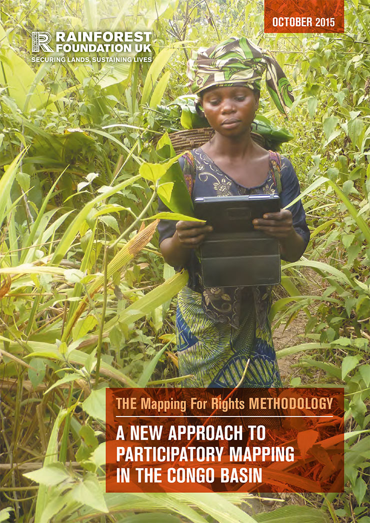
Mapping For Rights' Mapping Methodology: A new approach to participatory mapping

Manuals & Guidelines
Setembro, 2015
Cameroon
Central African Republic
Congo
Democratic Republic of the Congo
Equatorial Guinea

This guide presents the 'Mapping for Rights' approach, which combines participatory mapping techniques, facilitation and hands-on support with the application of relevant and available technology. This combination of tools, guidance and equipment enables communities to identify advocacy goals that their maps could support. The maps are designed to provide a snapshot of the communities’ reality, including information on their history and socio- economic situation and demonstrate occupation and use of specific areas by communities.

Walkability and Urban Capabilities: evaluation and Planning Decision Support

Peer-reviewed publication
Junho, 2015
Itália

We propose a methodology for the evaluation of urban walkability, and the related software tool for decision and planning support. In the introduction, we discuss the relevance of the concept of walkability for urban quality of life, and attempt to place it within the framework of the capability approach. The central part of the article is dedicated to the presentation of the spatial multi-criteria evaluation model for walkability.

Reduced data table MCA and Estimate Integrating System. Another case in Bari

Peer-reviewed publication
Junho, 2015
Itália

An approach was recently suggested to improve prediction process of the value of the finished product within contexts featuring low amount of data (D’Amato, 2015a; D’Amato, 2015b). This is a main issue, since it affects the evaluation of developed lands as well as investment properties under construction. The lack of data is one of the difficulties encountered in the evaluation process. The assessor may happen to face lacking data in a market segment even in a transparent market. Unlike exact science observations, real estate information is not repeatable, either in time or space.

Mappa catastale computerizzata per monitorare la proprietà in Francia

Peer-reviewed publication
Junho, 2015
Itália

In Francia la mappa catastale delinea e identifica la proprietà a scopi fiscali. Questa rimane l’unica mappa parcellare su vasta scala a ricoprire l’intero territorio francese e ad essere continuamente aggiornata. Viene pubblicata ogni anno da tutti i comuni francesi e dal 2008 è disponibile gratuitamente sul sito web del catasto (www.cadastre.gouv.fr). Si tratta di un’iniziativa che ha riscosso notevole successo.