Land use land cover mapping in the Tiffin River Watershed, 2004-2006

Journal Articles & Books
Dezembro, 2008

Voor de samenwerking tussen Dienst Landelijke Gebied (DLG) en de Vlaamse Landmaatschappij (VLM) is het nodig dat de digitale landkaarten op elkaar aansluiten. Wageningen UR GeoDesk formuleerde een aanpak, die zowel voor DLG als VLM bruikbaar is. Zodoende kunnen de samenwerkende partners nu werken met kaartbeelden, waarin voorbij de landsgrens geen gat valt.
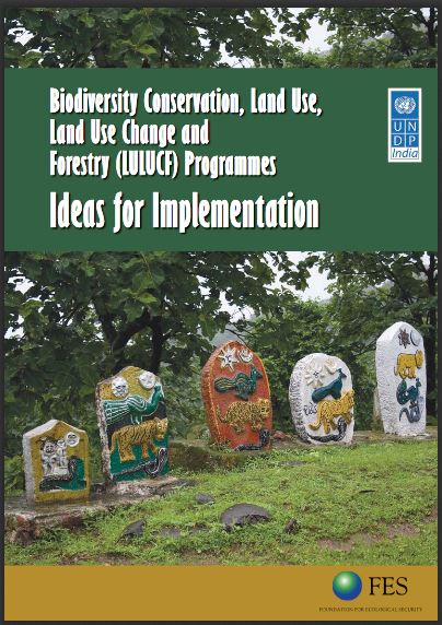
The study was undertaken to identify pertinent and emerging issues that have implications for biodiversity conservation and livelihoods and the inter-relationship between them. A detailed review of the current national and state policies was undertaken along with the strategies being implemented by the government and various multi-lateral and bi-lateral agencies and other organizations, focused especially in the states of Arunachal Pradesh, Chattisgarh, Jharkhand and Orissa as provided in the scope of the study.
Project in collaboration with the Benguela Environment Fisheries Interaction & Training Programme (BENEFIT) for the Benguela current Large MArine Ecosystem (BCLME) Programme.

The figures of public resources estimated to have been channeled into private pockets are so high one hopes, obviously against hope, that they would turn out to be typographical errors. The figures of public resources estimated to have been channeled into private pockets are so high one hopes, obviously against hope, that they would turn out to be typographical errors.
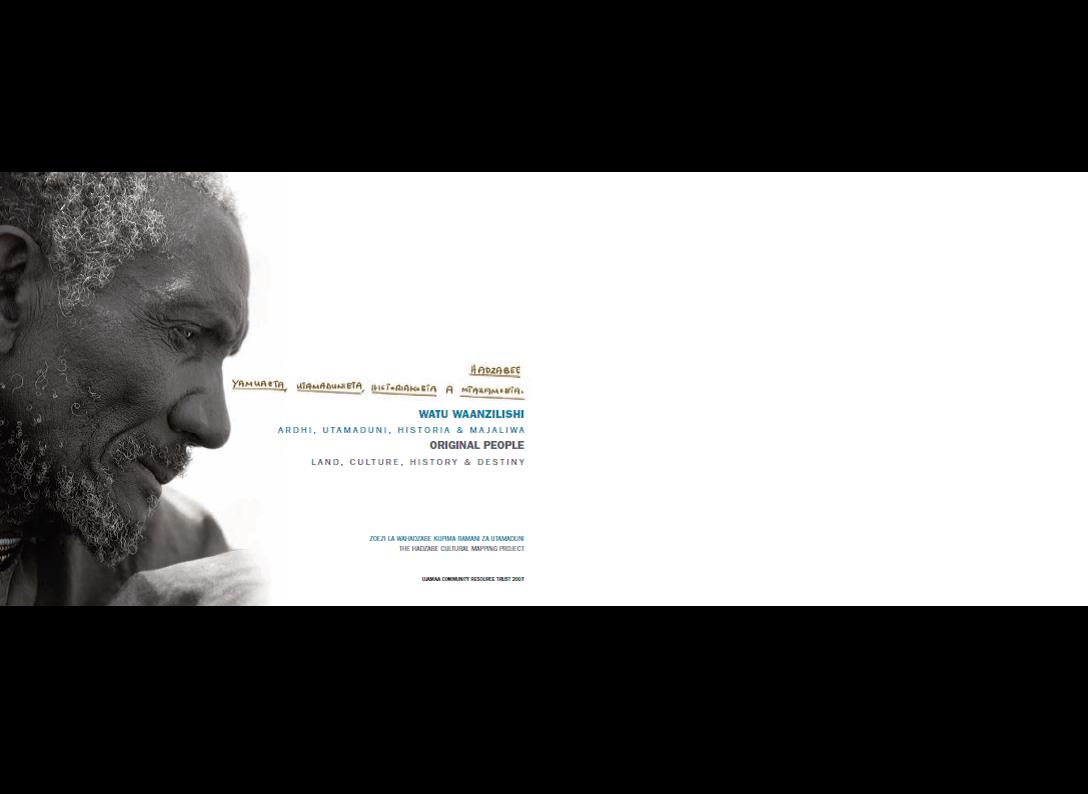
The Hadzabe community of the Yaida Valley requested UCRT to assist them to undertake a cultural mapping exercise.
En 1999, la FAO publiait la première version française du Thésaurus multilingue du foncier. Cette version avait surtout pour vocation d'être mise à l'épreuve du terrain, c'est-à-dire soumise aux critiques constructives tant des usagers à la recherche d'informations et d'éclairages nouveaux que des experts du foncier. En effet, sur le fond comme sur la forme, sont apparus un certain nombre de points forts mais aussi des lacunes, relevés depuis 1999 par l'équipe des rédacteurs et par de nombreux autres spécialistes du foncier.
La temática relativa a la tenencia y explotación de tierras está de nuevo a la orden del día. Así, son muchos los países que manifiestan un renovado interés por los diferentes modos de acceso a los recursos naturales en un marco de posibles reformas territoriales, ya sea en el contexto de la seguridad alimentaria, de la lucha contra la pobreza en el mundo, de la preservación del ambiente o de la calidad de la vida.