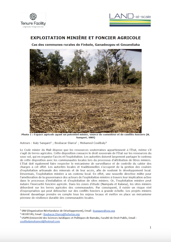
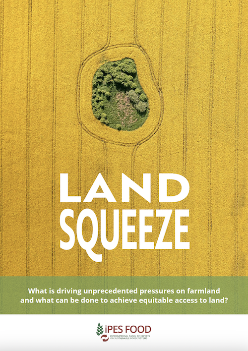
Le Code minier du Mali dispose que les ressources souterraines appartiennent à l’État, même s’il s’agit de terres agricoles. Cette disposition consacre le droit souverain de l’État sur les ressources du sous-sol, qui en organise l’accès et l’exploitation.
Ce rapport couvre l’opération de melkisation des terres collectives situées en totalité ou en partie dans le périmètre d’irrigation Gharb, faisant part de la zone d’action de l’Office Régional de Mise en Valeur Agricole du Gharb (ORMVAG).
La prise de contrôle de foncier agricole par des acteurs financiers suscite des controverses. Pour clarifier les enjeux associés à ce phénomène, le Centre d’études et de prospective a conduit une réflexion, associant plusieurs experts externes au ministère. Cette note présente les principaux enseignements de ce travail.
The agricultural sector in Armenia contributes around 20 percent to gross domestic product and provides employment to around 40 percent of the country’s labour force. The backbone of agriculture in the country is represented by smallholders and family farms.
The preservation of suburban agricultural land in the face of rapid urbanization in the West African region has been a major problem in recent decades. This paper examines the land tenure strategies used by farmers in relation to their assessments of the impact of urban growth.
Companies in the business of selling farmland to billionaires and pension funds are peddling it as a green;sustainable and socially responsible investment. This propaganda is working.
Czech agriculture is dealing with the consequences of climate change. Agroforestry cultures are being discursively reintroduced for better adaptability and resilience, with the first practical explorations seen in the field. Scholars have been working with farmers and regional stakeholders to establish a baseline for making agroforestry policy viable and sustainable.
Agricultural development is facing two problems: insufficient grain production and low profit of farmers. There is a contradiction between the government’s goal of increasing production and the farmer’s goal of increasing profit.
Land is a commodity like no other. We live on it;we grow from it;we drink from it and build our futures upon it. But we don’t share it equally. The distribution of land has long defined the gap between rich and poor.
Mapping Together helps people use Collect Earth mapathons to monitor tree-based restoration. Collect Earth enables users to create precise data that can show where trees are growing outside the forest across farms, pasture, and urban areas and how the landscape has changed over time.