Passar para o conteúdo principal

page search

Displaying 7093 - 7104 of 8061

Use of remote sensing and geographical information systems to estimate green space surface-temperature change as a result of urban expansion

Journal Articles & Books
Dezembro, 2005
República da Coreia

A combined approach of remote sensing (RS) and geographical information systems (GIS) was used in this study to identify the impact on urban surface radiant temperature (SRT) of urban green-space change. Urban SRT increases as green-space area is converted into non-green-space area. Also, well preserved green space and newly connected green space contribute to a decrease of the SRT. Seoul Metropolitan area is rapidly expanding. Existing urban SRT studies have, however, mainly been conducted for Seoul City.

Ecological support for rural land-use planning

Journal Articles & Books
Dezembro, 2005

How can ecologists be more effective in supporting ecologically informed rural land-use planning and policy? Improved decision making about rural lands requires careful consideration of how ecological information and analyses can inform specific planning and policy needs. We provide a brief overview of rural land-use planning, including recently developed approaches to conservation.

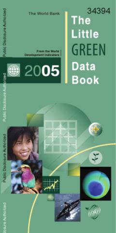
The Little Green Data Book 2005

Reports & Research
Training Resources & Tools
Dezembro, 2005

The Little Green Data Book 2005 is based on the World Development Indicators 2005, and represents an abbreviated collection of information. Its production is a collaboration between the Development Economics Data Development Group, and the Environment Department of the World Bank. Development and poverty alleviation-the World Bank's mission-call for a long-term vision. Enhancing environmental quality, improving natural resource management, and maintaining global ecosystems are all important steps toward this goal.

Environmental impact of the mining activity and revitalization of degraded space

Peer-reviewed publication
Dezembro, 2005

This paper analyses various aspects of environmental impact of the mineral resources’ exploitation in the mining basins, which can be listed as agricultural (and forest) land intake, relocation of the settlements, water course rearrangement, repositioning of roads and other infrastructure systems, decrease in level of ground water, etc. The paper points to the possible application of new technologies in mineral resources exploitation as well as to certain economic (external) effects.

Evaluación ambiental del proceso de urbanización de las cuencas del piedemonte andino de Santiago de Chile

Peer-reviewed publication
Dezembro, 2005
Chile

Las cuencas son complejos sistemas ambientales en que se desarrollan procesos geomorfológicos, hidrológicos, climáticos y ecológicos, que son impactados por la urbanización. En este trabajo se estudian seis cuencas del piedemonte andino de la ciudad de Santiago que se encuentran en diferentes fases del proceso de urbanización, variando entre Macul-San Ramón, en donde casi el 40% de su superficie ha sido incorporada a la ciudad, y Pirque, que mantiene aún sus características agrícolas y rurales.