This report on the land data ecosystem in Madagascar is the first step towards providing a baseline and diagnostic tool to inform conversations around land and data governance. It aims to complement existing initiatives to improve the accuracy and extent of land data in Madagascar and identify opportunities to improve public access to all forms of land information.
Ce rapport sur l’écosystème des données foncières à Madagascar est la première étape vers la fourniture d’une base de référence et d’un outil de diagnostic pour informer les conversations autour de la gouvernance foncière et des données.
Ce rapport sur l'écosystème des données foncières à Madagascar est la première étape vers la fourniture d'une base de référence et d'un outil de diagnostic pour informer les conversations autour de la gouvernance foncière et des données.
This report on the land data ecosystem in Madagascar is the first step towards providing a baseline and diagnostic tool to inform conversations around land and data governance. It aims to complement existing initiatives to improve the accuracy and extent of land data in Madagascar and identify opportunities to improve public access to all forms of land information.
Ce document vise à faciliter la collecte de données comparable entre pays pour le calcul des indicateurs des ODD 1.4.2 et 5.a.1 conformément aux méthodologies approuvées par l’IAEG-SDG. Cette publication donne un aperçu des indicateurs, une discussion sur les différents modules de questionnaire proposés et des conseils détaillés pour chacun.
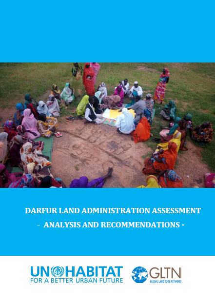
The objectives of the report are to assess the statutory and customary land administration systems and practices in the five Darfur states of Sudan, and to provide guidance to relevant stakeholders on how to support the tenure security and housing, land and property (HLP) rights of people voluntarily returning to Darfur and of other vulnerable people, such as IDPs, refugees, women and youth.
This report provides a summary of an online workshop on March 16th 2020, organised in place of a planned fringe meeting of the World Bank Land and Poverty Conference which was cancelled due to the COVID-19 pandemic. The 2-hour digital workshop brought together over 40 participants from across the world to discuss key data and key open data use-cases for land governance.
Spatial plan (or urban plan) as an aggregate product of sectoral policies (i.e., environmental, disaster management, economy, forestry), will be imposed to all land parcels in the form of public law to achieve the vision of a city. This vision relies heavily on the interoperability of land-use, land tenure, land value, and land development.
Societal drivers including poverty eradication, gender equality, indigenous recognition, adequate housing, sustainable agriculture, food security, climate change response, and good governance, influence contemporary land administration design. Equally, the opportunities provided by technological development also influence design approaches.
Weak or non-existing linkage of official registers in the Republic of Croatia and the data redundancy as an inevitable outcome of such a state are the causes of various unwanted consequences for the relevant public authorities, as well as for citizens and companies as the end-users of that data.