Israel became an FAO member in 1949, and has provided highly valuable expertise to FAO and its member countries. In addition to offering technical assistance to FAO projects on capacity development for pest and pesticide management, Israel’s agency for International Development regularly holds…
Meeting Name: Near East Forestry and Range Commission (NEFRC)
Meeting symbol/code: FO:NEFRC/2015/2/Rev.1 (English only)
Session: Sess. 22
Based on a broad literature review, this publication discusses rural women’s time poverty in agriculture, elaborates on its possible causes and implications and provides insight into the various types of constraints that affect the adoption of solutions for reducing work burden. This paper…
FAO has a long history of partnership with the countries of the Organisation of Islamic Cooperation (OIC), providing policy advice, analysis and technical assistance in agriculture, livestock, fisheries, forestry, natural resources management and food security in its commitment to support…
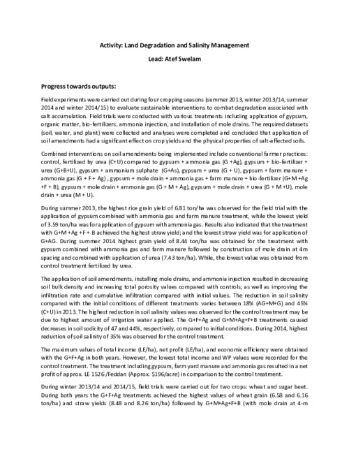
Field experiments were carried out during four cropping seasons (summer 2013, winter 2013/14, summer 2014 and winter 2014/15) to evaluate sustainable interventions to combat degradation associated with salt accumulation. Field trials were conducted with various treatments including application…
FAO’s best-selling 2011 publication, Save and Grow, proposed a new paradigm of agriculture, one that is both highly productive and environmentally sustainable. This new book looks at the application of “Save and Grow” practices and technologies to production of the world’s key food security…
De plus en plus d’éléments tendent à démontrer que l’investissement dans le secteur agricole des pays en développement est l’un des moyens les plus efficaces pour réduire la pauvreté et la faim. Les investissements agricoles peuvent produire des avantages très divers en faveur du développement.…
Land degradation and desertification are among the biggest environmental challenges of our time. In the last 40 years, we lost nearly a third of the world’s arable farmland due to erosion, just as the number of people to be fed from it almost doubled. That’s why the UN General Assembly declared…
This publication contains key messages from the International Conference on the Economics of Climate Change Mitigation Options in the Forest Sector, organized by FAO and held online in February 2015. It summarizes key points from 51 technical presentations and panel and plenary discussions of 6…
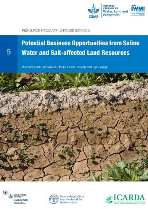
Report on Potential Business Opportunities from Saline Water and Salt-affected Land Resources
This Decree-Law, consisting of 14 articles, amends the Sinai Development Law, by extending the period of land use from 30 to 50 years and boost the maximum period up to 75 rather than 50 years. In addition, the amendment states exemptions — to be granted by a presidential decree — for the…
The constitution was approved by 98.13% of voters.


