Перейти к основному содержанию

page search

Displaying 73 - 84 of 1346

Ministerial Decree No. 6 on approval of maps defining the geographical coordinates of areas under risk of landslides.

Regulations
января, 2016
Azerbaijan

This Decree states that as a result of survey carried out by the Ministry of Ecology and Natural Resources, maps determining the geographic coordinates of areas under risk of landslides shall be approved. Furthermore this Decree underlines that construction works are prohibited in these areas, except for construction projects approved by the local authorities. Approved maps are attached to this Decree.

Implements: Ministerial Decree No. 56 on measures for determining the geographical coordinates of areas under risk of landslides. (2015-03-05)

Ordonnance ministérielle n°770/035 du 13/01/2016 portant modalités d'inventaire des biens immeubles Domaniaux.

Legislation
января, 2016
Burundi

La présente ordonnance définit les modalités d'inventaire des biens immeubles de l’Etat, des Communes et des autres personnes publiques; et s’applique à toutes les opérations d'inventaire des biens immeubles domaniaux quelle que soit la personne publique initiatrice. Par ailleurs, elle détermine les principes directeurs.

Governmental Decree No. 1 validating the Regulation on calculation of reimbursement for loss of agricultural commodities.

Regulations
января, 2016
Kyrgyzstan

This Governmental Decree establishes the procedures for and the modalities of calculation of the amount of reimbursement of loss of agricultural commodities in the course of transfer of agricultural land to other categories of land and use of the aforesaid reimbursement for land conversion, drainage of cultivated land, soil improvement and survey work with a view of soil fertility improvement. Annex 1 contains calculation formula and rates of reimbursement.

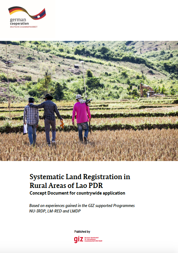
Systematic Land Registration in Rural Areas of Lao PDR Concept Document for countrywide application

Reports & Research
сентября, 2015
Laos

In principle, all land in the Lao People's Democratic Republic (Lao PDR) belongs to the National Community, although citizens and legal entities have the right to receive permanent land use rights. These land use rights are certified in the form of land titles, which currently can be issued to individuals (persons, couples, joint ownership or legal entities), collectives and state land.

Act on the Preparation for Earthquakes and Volcanic Eruptions.

Legislation
июля, 2015
Republic of Korea

The purpose of this Act is to prescribe matters necessary for the observation of, prevention of, provision against, and action against earthquakes, tsunami, and volcano, earthquake-proof measures, and research and technical development to reduce earthquake disasters and volcano disasters in order to protect the life and property of the people and major infrastructure from disasters due to earthquakes, tsunami, and volcano.

Decree No. 45/2015/ND-CP on topographic and cartographic activities.

Regulations
мая, 2015
Vietnam

This Decree, consisting of 37 articles divided into five Chapters, prescribes topographic and cartographic activities in the mainland, on islands, archipelagos and sea areas, under the ground and in the space of the Socialist Republic of Vietnam. This Decree applies to state management agencies and organizations and individuals involved in topographic and cartographic activities, exploitation and use of topographic and cartographic information, data and products within the territory of the Socialist Republic of Vietnam.

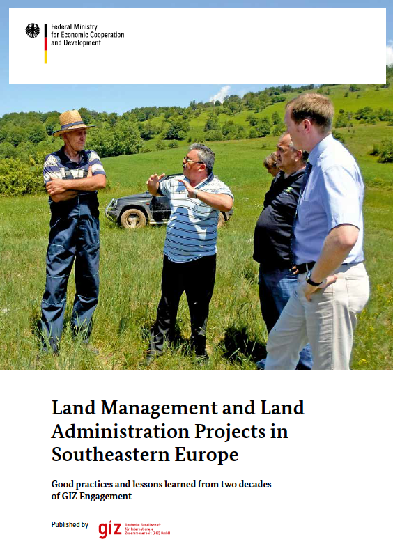
Land Management and Land Administration Projects in Southeastern Europe

Institutional & promotional materials
Reports & Research
апреля, 2015
Bosnia and Herzegovina
Georgia
Montenegro
Serbia

After the collapse of the former Soviet Union and the end of the latest Balkan wars, countries in Southeastern Europe had to reorganize their land management and land administration systems. Whereas in the Caucasus region privatization and first property registration were the main challenges, in the former Republic of Yugoslavia, essential objectives were the return of collectivized, confiscated property through restitution or (re)distribution, as well as the updating and harmonization of traditional land registry and cadaster systems and their conversion to modern systems.

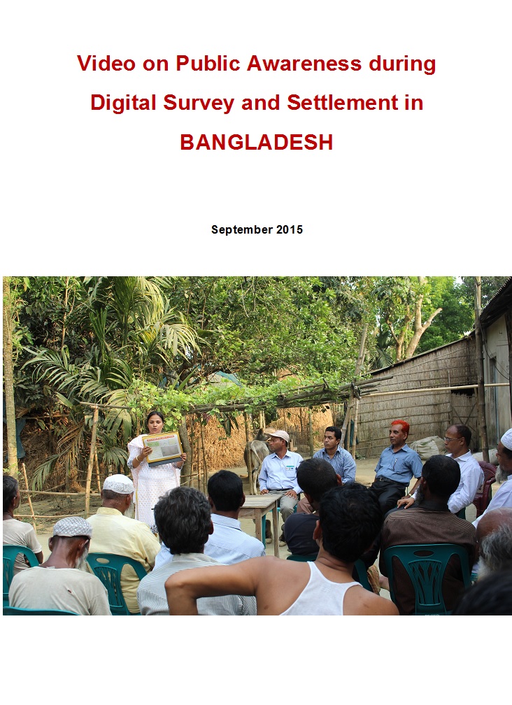
Video documentary on public awareness activities of Digital land Survey and Settlement

Videos
февраля, 2015
Bangladesh

Uttaran (www.uttaran.net) is a local organisation (Bangladesh) working with vulnerable landowners i.e. women, widow, indigenous, minority and landless people to promote access to land. Uttaran is implementing a project titled, Sustainable Access to Land Equality-SALE' with support of European Union. SALE is the civil society component of overall access to land project that is lead by Department of Land Records and Surveys (DLRS) and Ministry of Land in Bangladesh.

Order No. 435 of the Ministry of Agrarian Policy and Food validating the Regulation on the procedure of inspection and renewal of State Geodetic Network points.

Regulations
ноября, 2014
Ukraine

This Procedure determines the mechanism of inspection and renewal of State Geodetic Network points, establishes the types of thereof and shall be mandatory for the subjects of topographic, geodetic and cartographic activity.

Government Regulation of the R.I. No. 71 of 2014 concerning Protection and Management of Ecosystem of Peat lands.

Regulations
сентября, 2014
Indonesia

This Government Regulation, consisting of 47 articles divided into nine Chapters, implements Law No. 32 of 2009 on Protection and Environmental Management, and aims at protecting and managing Peatlands ecosystems. Planning of Peatland Ecosystem Protection and Management is done through the following stages: 1. Peatland Ecosystem inventory; 2. Determination of the function of the Peat Ecosystem; and 3. Drafting and establishing the Peatland Ecosystem Protection and Management plan.