Focal point
Location
FIG is the premier international organization representing the interests of surveyors worldwide. It is a federation of the national member associations and covers the whole range of professional fields within the global surveying community. It provides an international forum for discussion and development aiming to promote professional practice and standards.
FIG was founded in 1878 in Paris and was known as the Fédération Internationale des Géomètres. This has become anglicized to the International Federation of Surveyors. It is a UN-recognized non-government organization (NGO), representing more than 120 countries throughout the world, and its aim is to ensure that the disciplines of surveying and all who practise them meet the needs of the markets and communities that they serve.
The FIG vision
A modern and sustainable surveying profession in support of society, environment and economy by providing innovative, reliable and best practice solutions to our rapidly changing and complex world, acting with integrity and confidence about the usefulness of surveying, and translating these words into action.
The role of FIG
FIG’s activities are governed by a work plan, which is approved by the General Assembly and reviewed by Council as its tenure progresses. The current work plan with the motto “Ensuring the Rapid Response to Change Ensuring the Surveyor of Tomorrow” guides Council, Commissions, Networks and Task Force in their activities.
FIG supports the role of a prosperous and sustainable profession of surveyors to provide solution functionality, reliably, affordably for a complex and rapidly changing world that cannot wait, and to translate a sustainable development agenda into action. FIG supports international collaboration among its members for the progress of surveying in all its fields and applications. FIG has a close cooperation with United Nations relevant bodies, World Bank, and its sister associations and has been globally recognized as the leading international non-governmental organization on geospatial information and the management of “land”, the “sea” and the “built” environment. It is within the surveyors’ task to determine the size and shape of the earth, to map its surface and to manage it in a sustainable way.
Members:

Resources
Displaying 16 - 20 of 49Framework for Costing and Financing Land Administration Services (CoFLAS)
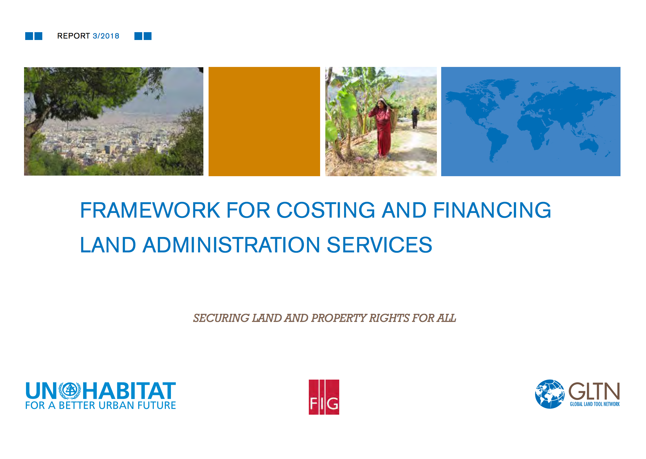
The tool presented in this guide aims to assist policy-makers and land administrators to adopt appropriate technologies and methodologies for land administration services more efficiently, cost effectively and with options most appropriately tailored to national and sub-national contexts. It was developed after recognizing the need to modernize the budgetary approach to land agencies and to provide effective, cost-efficient, affordable and sustainable services, particularly in developing countries.
Valuation of Unregistered Lands: A Policy Guide

This guide aims to support the process of valuation of unregistered land and property for the public and private agencies that undertake this exercise. It will be relevant for policy makers, local authorities, international finance institutions, investors, property developers, banks, civil society organisations, citizens, land owners, local communities and women’s groups.
Land Consolidation and Land Readjustment for Sustainable Development – the Issues to be Addressed
From 9 to 11 November 2016 the ‘symposium on land consolidation and land readjustment for sustainable development’ was held in Apeldoorn, the Netherlands. The symposium was a joint initiative from FIG commissions 7 and 8, the Food and Agriculture Organization of the United Nations (FAO), LANDNET, the Dutch Cadastre, Land Registry and Mapping Agency, and supported by Global Land Tool Network (GLTN) and the World Bank. About 200 participants from 50 countries shared their experiences and knowledge about state of the art practices of land consolidation and land readjustment across the world.
The FIG Christchurch Declaration - Responding to Climate Change and Tenure Insecurity in Small Island Developing States
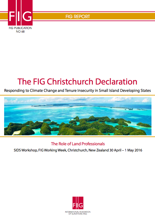
This publication is the result of the workshop on “Responding to Climate Change and Tenure Insecurity in Small Island Developing States – The Role of Land Professionals” held in Christchurch, New Zealand 30 April – 1 May 2016 in connection with the FIG Working Week 2016. It includes a report of the seminar and a FIG Christchurch Declaration as the main outcome of the workshop.
Topographic Signs: Important Context for a 3D Cadastre

Utilities, buildings and infrastructure digital representations are very important set of spatial data for quality and sustainable spatial management and development of community in general. Many countries are on the way of the establishment of the 3D cadastre. Existing 2D cadastral systems are able to make gradual transition to 3D cadastre, but for the implementation of real 3D cadastre in many countries it is necessary to change the regulations. A topographic sign or topographic symbol is representation of a topographic