Let's Move Beyond Business as Usual: Talking about Climate Resilience & Fit-for-purpose Surveying for Land, Water & Marine
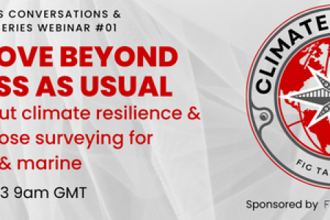
10 October 2023
Online
Webinar organized by the FIG Climate Compass Task Force and part of its 'Conversations & Consultations Webinar Series'. Registrations are now open.
International Federation of Surveyors (FIG)