Pasar al contenido principal

page search

There are 396 content items of different types and languages related to Cartografía de la cubierta vegetal on the Land Portal.
Displaying 121 - 132 of 300

THE LAND SECTOR NON-STATE ACTORS (LSNSA)

Journal Articles & Books
Septiembre, 2011
Kenya

kenya land alliance download :Memorandum On Continued Engagement With The Ministry Of Lands On Land Reforms Presented To: The Ministry Of Lands. The approval by the public of the Constitution at the referendum on August 4, 2010 and its promulgation on August 27, 2010 heralded a new dawn of governance in Kenya. Through its broad provisions, it is expected that it will spur social and economic development and secure the land rights of all Kenyans, by among others guaranteeing them ownership, control and access to natural resources.

Land-Laws-Amendment-Bill-2015

Institutional & promotional materials
Octubre, 2015
Kenya

The first set of the land laws were enacted in 2012 in line with the timelines outlined in the Constitution of Kenya 2010. In keeping with the spirit of the constitution, the Land Act, Land Registration Act and the national Land Commission Act respond to the requirements of Articles 60, 61, 62, 67 & 68 of the Constitution.

Unjust-Enrichment-Volume 2

Journal Articles & Books
Diciembre, 2007
Kenya

The figures of public resources estimated to have been channeled into private pockets are so high one hopes, obviously against hope, that they would turn out to be typographical errors. The figures of public resources estimated to have been channeled into private pockets are so high one hopes, obviously against hope, that they would turn out to be typographical errors.

A Survey into the Management and use of Wetlands in Kenya

Institutional & promotional materials
Marzo, 2006
Kenya

The Role Of Wetlands In Poverty Reduction- Extreme poverty among rural poor people living around wetlands remains a daily reality for more than 56% of Kenya’s population, who subsist on less than one dollar a day. Seventy percent of extremely poor households, a majority of who live in rural areas where hunger and poverty prevails, are now being caught up in a new web of lack of access to wetlands as safety-net during hard times due to appropriation of wetlands by private developers.

KENYA LAND POLICY: ANALYSIS AND RECOMMENDATIONS

Journal Articles & Books
Mayo, 2009
Kenya

This analysis and recommendations stem from USAID/Kenya’s request for an assessment of Kenya’s draft National Land Policy (dNLP).4 It was conducted under the global task order: Property Rights and Resource Governance Program, a mechanism designed and supervised by USAID-EGAT’s Land Resources Management Team under the Office of Natural Resources Management.

Identifying hotspots in land use land cover change and the drivers in a semi-arid region of India

Journal Articles & Books
Diciembre, 2018
India

The study examines long-term land use/land cover change (LUCC) at a finer scale in a semi-arid region of India. The objectives were to study and quantify the spatiotemporal LUCC and uncover the major drivers causing the change in the Mula Pravara river basin, which is located in a semi-arid region of Maharashtra state, India.

PowerPoint Presentation: Towards a better understanding of land and soil degradation in Europe

Multimedia
Noviembre, 2012
Global

We recognize the economic and social significance of good land management, including soil, We stress that desertification, land degradation and drought are challenges of a global dimension and continue to pose serious challenges to the sustainable development of all countries, We recognize the need for urgent action to reverse land degradation. In view of this, we will strive to achieve a land-degradation neutral world in the context of sustainable development. Measuring Land degradation is a challenge ①Declining land-productivity ≠ Land degradation e.g.

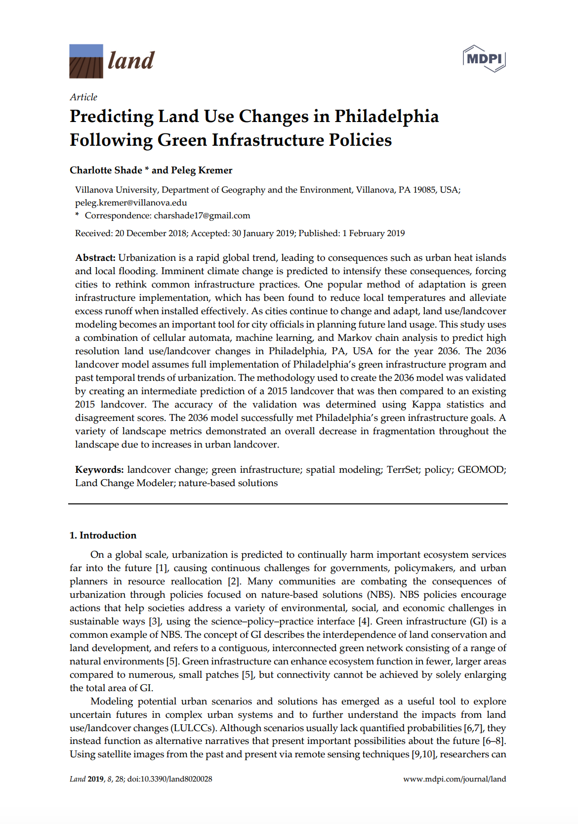
Predicting Land Use Changes in Philadelphia Following Green Infrastructure Policies

Peer-reviewed publication
Enero, 2019
Estados Unidos de América

Urbanization is a rapid global trend, leading to consequences such as urban heat islands and local flooding. Imminent climate change is predicted to intensify these consequences, forcing cities to rethink common infrastructure practices. One popular method of adaptation is green infrastructure implementation, which has been found to reduce local temperatures and alleviate excess runoff when installed effectively. As cities continue to change and adapt, land use/landcover modeling becomes an important tool for city officials in planning future land usage.

STATE AND PROBLEMS TRAINING, ADVANCED TRAINING AND RETRAINING IN THE FIELD OF LAND PLANNING

Peer-reviewed publication
Mayo, 2016
Ucrania

Scientific and technological progress and improve land relations, land use and organization of work makes the need for systematic improvement of forms and methods of preparation, training and retraining in the land. Training in the land - is the formation of staff knowledge and skills in a particular professional field, that training people who want to get a profession in the field of land relations and the use and protection of land and other natural resources.

DIRECTIONS FOR THE RECOVERY OF AGRICULTURAL PRODUCTION ON RADIOACTIVELY CONTAMINATED LANDS

Peer-reviewed publication
Mayo, 2016

Effective management of agricultural production in the Polesie Ukraine traditionally was complicated through the low natural land fertility, their high acidity, perevolotsky valley. During the centrally planned economic system that the natural contrast of the Polesie land had been somewhat neglected by the state through differentiation of purchase prices for agricultural products, which gave the possibility of redistribution of the rent in favor of the farms with poorer land.

Some aspects of methodology division of land categorized by main purpose

Peer-reviewed publication
Octubre, 2015
Ucrania

Proved that the methodology of the existing division of land by class as the main purpose formed in Ukraine according to the economic, social and environmental interests of society and citizens of different period of development. However, it needs to be improved, taking into account the provisions of land classification nomenclature CORINE Programme of the European Union.

I big data e gli strumenti di visualizzazione analitica: interazioni e studi induttivi per le P.A.

Peer-reviewed publication
Diciembre, 2012
Italia

Il saggio presenta alcuni risultati di una collaborazione tra Politecnico di Torino e il CSI Piemonte (Società di servizi Informatizzati partecipata dalla Regione Piemonte). Sono stati selezionati e studiati diversi strumenti di visualizzazione dei dati scientifici (Gapminder, ManyEyes, Open eXplorer e Fineo) al
fine di individuare quello più utile per una lettura induttiva di grandi quantità di dati informativi (big data).